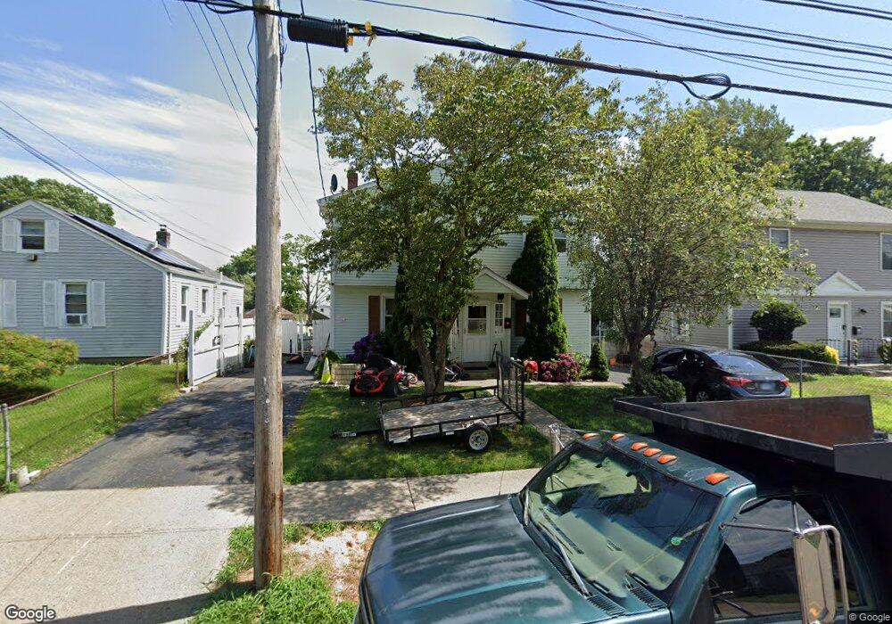
597 Queen St Bridgeport, CT 06606
North End NeighborhoodEstimated Value: $449,108 - $650,000
5
Beds
2
Baths
2,169
Sq Ft
$260/Sq Ft
Est. Value
About This Home
This home is located at 597 Queen St, Bridgeport, CT 06606 and is currently estimated at $564,777, approximately $260 per square foot. 597 Queen St is a home located in Fairfield County with nearby schools including Blackham School, Central High School, and The Unquowa School.
Ownership History
Date
Name
Owned For
Owner Type
Purchase Details
Closed on
Oct 20, 2014
Sold by
Portillo Wanner and Portillo Yessenia
Bought by
Carbajal Ernesto
Current Estimated Value
Home Financials for this Owner
Home Financials are based on the most recent Mortgage that was taken out on this home.
Original Mortgage
$183,121
Outstanding Balance
$140,337
Interest Rate
4.09%
Mortgage Type
New Conventional
Estimated Equity
$424,440
Purchase Details
Closed on
Mar 27, 2001
Sold by
Ferreira Carlos M and Ferreira Joanna
Bought by
Portillo Wanner and Portillo Yessenia J
Home Financials for this Owner
Home Financials are based on the most recent Mortgage that was taken out on this home.
Original Mortgage
$195,320
Interest Rate
6.93%
Create a Home Valuation Report for This Property
The Home Valuation Report is an in-depth analysis detailing your home's value as well as a comparison with similar homes in the area
Home Values in the Area
Average Home Value in this Area
Purchase History
| Date | Buyer | Sale Price | Title Company |
|---|---|---|---|
| Carbajal Ernesto | $186,500 | -- | |
| Carbajal Ernesto | $186,500 | -- | |
| Portillo Wanner | $205,600 | -- | |
| Portillo Wanner V | $205,600 | -- |
Source: Public Records
Mortgage History
| Date | Status | Borrower | Loan Amount |
|---|---|---|---|
| Open | Portillo Wanner V | $183,121 | |
| Closed | Portillo Wanner V | $183,121 | |
| Previous Owner | Portillo Wanner V | $192,500 | |
| Previous Owner | Portillo Wanner V | $195,320 |
Source: Public Records
Tax History
| Year | Tax Paid | Tax Assessment Tax Assessment Total Assessment is a certain percentage of the fair market value that is determined by local assessors to be the total taxable value of land and additions on the property. | Land | Improvement |
|---|---|---|---|---|
| 2025 | $8,431 | $194,050 | $75,310 | $118,740 |
| 2024 | $8,431 | $194,050 | $75,310 | $118,740 |
| 2023 | $8,431 | $194,050 | $75,310 | $118,740 |
| 2022 | $8,431 | $194,050 | $75,310 | $118,740 |
| 2021 | $8,431 | $194,050 | $75,310 | $118,740 |
| 2020 | $7,288 | $134,980 | $43,270 | $91,710 |
| 2019 | $7,288 | $134,980 | $43,270 | $91,710 |
| 2018 | $7,339 | $134,980 | $43,270 | $91,710 |
| 2017 | $7,339 | $134,980 | $43,270 | $91,710 |
| 2016 | $7,339 | $134,980 | $43,270 | $91,710 |
| 2015 | $7,556 | $179,060 | $49,980 | $129,080 |
| 2014 | $7,556 | $179,060 | $49,980 | $129,080 |
Source: Public Records
Map
Nearby Homes
- 646 Merritt St
- 669 Queen St
- 720 Queen St
- 604 Birmingham St
- 375 Ruth St
- 855 Burnsford Ave
- 932 Thorme St
- 415 Jewett Ave
- 255 Ruth St
- 485 Peet St
- 316 Goldenrod Ave
- 383 Birmingham St
- 235 Burnsford Ave
- 345 Glendale Ave Unit A2
- 335 Glendale Ave Unit G11
- 11 Stratfield Place
- 495 Vincellette St Unit 12
- 90 Toilsome Hill Rd
- 525 Westfield Ave
- 26 Marsdale Ave
Your Personal Tour Guide
Ask me questions while you tour the home.