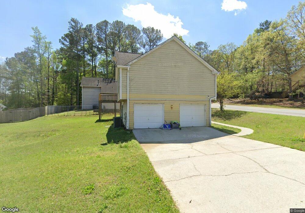
5980 N Castlegate Dr Unit 7 Atlanta, GA 30349
Estimated Value: $228,000 - $258,000
About This Home
This home is located at 5980 N Castlegate Dr Unit 7, Atlanta, GA 30349 and is currently estimated at $245,022, approximately $148 per square foot. 5980 N Castlegate Dr Unit 7 is a home located in Clayton County with nearby schools including Oliver Elementary School, North Clayton Middle School, and North Clayton High School.
Ownership History
We collect this data history from publicly available records. To have your information removed, we recommend requesting removal directly through your county’s website.
Purchase Details
Home Values in the Area
Average Home Value in this Area
Purchase History
We collect this data history from publicly available records. To have your information removed, we recommend requesting removal directly through your county’s website.
| Date | Buyer | Sale Price | Title Company |
|---|---|---|---|
| $94,200 | -- |
Mortgage History
We collect this data history from publicly available records. To have your information removed, we recommend requesting removal directly through your county’s website.
| Date | Status | Borrower | Loan Amount |
|---|---|---|---|
| Closed | $0 |
Tax History
We collect this data history from publicly available records. To have your information removed, we recommend requesting removal directly through your county’s website.
| Year | Tax Paid | Tax Assessment Tax Assessment Total Assessment is a certain percentage of the fair market value that is determined by local assessors to be the total taxable value of land and additions on the property. | Land | Improvement |
|---|---|---|---|---|
| 2025 | $4,279 | $121,720 | $8,000 | $113,720 |
| 2024 | $3,953 | $111,320 | $8,000 | $103,320 |
| 2023 | $3,556 | $98,480 | $8,000 | $90,480 |
| 2022 | $2,499 | $73,680 | $8,000 | $65,680 |
| 2021 | $1,867 | $57,280 | $8,000 | $49,280 |
| 2020 | $1,689 | $52,228 | $8,000 | $44,228 |
| 2019 | $1,576 | $48,822 | $5,600 | $43,222 |
| 2018 | $1,416 | $44,878 | $5,600 | $39,278 |
| 2017 | $1,085 | $36,654 | $5,600 | $31,054 |
| 2016 | $1,180 | $39,007 | $5,600 | $33,407 |
| 2015 | $567 | $0 | $0 | $0 |
| 2014 | $397 | $19,956 | $7,200 | $12,756 |
Map
- 5956 N Castlegate Dr
- 5936 N Castlegate Dr Unit 5
- 5969 Friar Ct
- 2070 Radford Ct
- 2120 Sandgate Cir
- 2120 Knighton Dr
- 1791 Flat Shoals Rd
- 6180 Beethoven Cir
- 6109 Camden Forrest Dr
- 6266 Auburn Dr
- 6220 Polar Fox Ct
- 1686 Camden Forrest Trail
- 6295 Camp Rd
- 6097 Camden Forrest Cove
- 6117 Camden Forrest Cove
- 6080 Camden Forrest Cove
- 1749 Broad River Rd
- 0 Cater Ln Unit 10461792
- 0 Cater Ln Unit 7526768
- 2399 Wexford Dr
- 5988 N Castlegate Dr Unit VII
- 1972 Banks Way
- 2038 Banks Way
- 2038 Banks Way Unit 5/77
- 1966 Banks Way
- 1981 Banks Way
- 1975 Banks Way Unit 7
- 1994 Banks Way
- 1994 Banks Way Unit 3
- 1994 Banks Way Unit 2
- 1994 Banks Way Unit 5
- 1994 Banks Way
- 1994 Banks Way Unit 1994
- 6006 Castlegate Dr
- 1963 Banks Way Unit 7
- 1960 Banks Way
- 5963 N Castlegate Dr Unit 1
- 5963 N Castlegate Dr Unit 5
- 5967 Milligan Ct
- 5989 Radford Dr
Ask me questions while you tour the home.