Estimated Value: $231,730 - $261,000
2
Beds
2
Baths
1,316
Sq Ft
$186/Sq Ft
Est. Value
About This Home
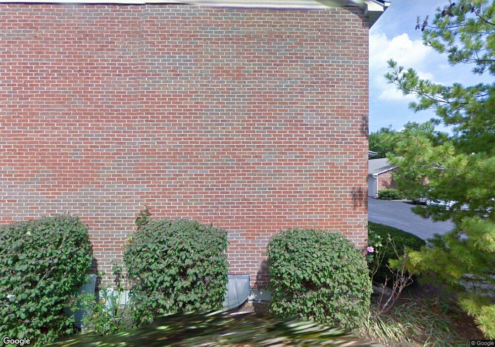
This home is located at 5982 Snider Cove Way, Mason, OH 45040 and is currently estimated at $245,183, approximately $186 per square foot. 5982 Snider Cove Way is a home located in Warren County with nearby schools including Mason Intermediate Elementary School, Mason Middle School, and William Mason High School.
Ownership History
Date
Name
Owned For
Owner Type
Purchase Details
Closed on
Feb 27, 2001
Sold by
Wallale Stacy
Bought by
Melzer Robert J and Melzer Michele A
Current Estimated Value
Purchase Details
Closed on
Sep 6, 1994
Sold by
Kingland Dev Inc
Bought by
Wallace E and Stacy Marilyn G
Home Financials for this Owner
Home Financials are based on the most recent Mortgage that was taken out on this home.
Original Mortgage
$75,900
Interest Rate
7.75%
Mortgage Type
New Conventional
Purchase Details
Closed on
May 20, 1994
Sold by
Kingland Development & Inc
Bought by
Kingland Development & Inc
Create a Home Valuation Report for This Property
The Home Valuation Report is an in-depth analysis detailing your home's value as well as a comparison with similar homes in the area
Home Values in the Area
Average Home Value in this Area
Purchase History
| Date | Buyer | Sale Price | Title Company |
|---|---|---|---|
| Melzer Robert J | $103,000 | -- | |
| Wallace E | $79,900 | -- | |
| Kingland Development & Inc | -- | -- |
Source: Public Records
Mortgage History
| Date | Status | Borrower | Loan Amount |
|---|---|---|---|
| Previous Owner | Wallace E | $75,900 |
Source: Public Records
Tax History
| Year | Tax Paid | Tax Assessment Tax Assessment Total Assessment is a certain percentage of the fair market value that is determined by local assessors to be the total taxable value of land and additions on the property. | Land | Improvement |
|---|---|---|---|---|
| 2025 | $2,497 | $56,080 | $17,500 | $38,580 |
| 2024 | $2,497 | $56,080 | $17,500 | $38,580 |
| 2023 | $1,844 | $37,670 | $9,012 | $28,658 |
| 2022 | $1,786 | $37,671 | $9,013 | $28,658 |
| 2021 | $1,692 | $37,671 | $9,013 | $28,658 |
| 2020 | $1,916 | $36,572 | $8,750 | $27,822 |
| 2019 | $1,761 | $36,572 | $8,750 | $27,822 |
| 2018 | $1,767 | $36,572 | $8,750 | $27,822 |
| 2017 | $1,722 | $33,254 | $7,147 | $26,107 |
| 2016 | $1,773 | $33,254 | $7,147 | $26,107 |
| 2015 | $1,777 | $33,254 | $7,147 | $26,107 |
| 2014 | $1,906 | $33,250 | $7,150 | $26,110 |
| 2013 | $1,910 | $40,710 | $8,750 | $31,960 |
Source: Public Records
Map
Nearby Homes
- 5988 Snider Cove Way
- 986 Western Row Rd
- 6176 Nicholas Way
- 6172 Nicholas Way
- 6168 Nicholas Way
- 6164 Nicholas Way
- 6160 Nicholas Way
- 6191 Nicholas Way
- 6187 Nicholas Way
- 6179 Nicholas Way
- 6390 Coverage Ct
- 6175 Nicholas Way
- 6386 Coverage Ct
- 6382 Coverage Ct
- 6378 Coverage Ct
- 6364 Coverage Ct
- 6130 Nicholas Way
- 6126 Nicholas Way
- 6370 Coverage Ct
- 5670 Villas Creek Dr
- 5984 Snider Cove Way
- 5980 Snider Cove Way
- 5986 Snider Cove Way
- 5986 Snider Cove Way Unit 16
- 5962 Snider Cove Way
- 5960 Snider Cove Way
- 876 Snider Rd
- 5966 Snider Cove Way
- 5968 Snider Cove Way
- 5970 Snider Cove Way
- 5964 Snider Cove Way
- 5991 Snider Cove Way
- 866 Snider Rd
- 5987 Snider Cove Way
- 5942 Snider Cove Way
- 5946 Snider Cove Way
- 5961 Snider Cove Way
- 5948 Snider Cove Way
- 5963 Snider Cove Way
- 5985 Snider Cove Way
Your Personal Tour Guide
Ask me questions while you tour the home.