6 Andrews Dr Garnerville, NY 10923
Estimated Value: $668,000 - $818,000
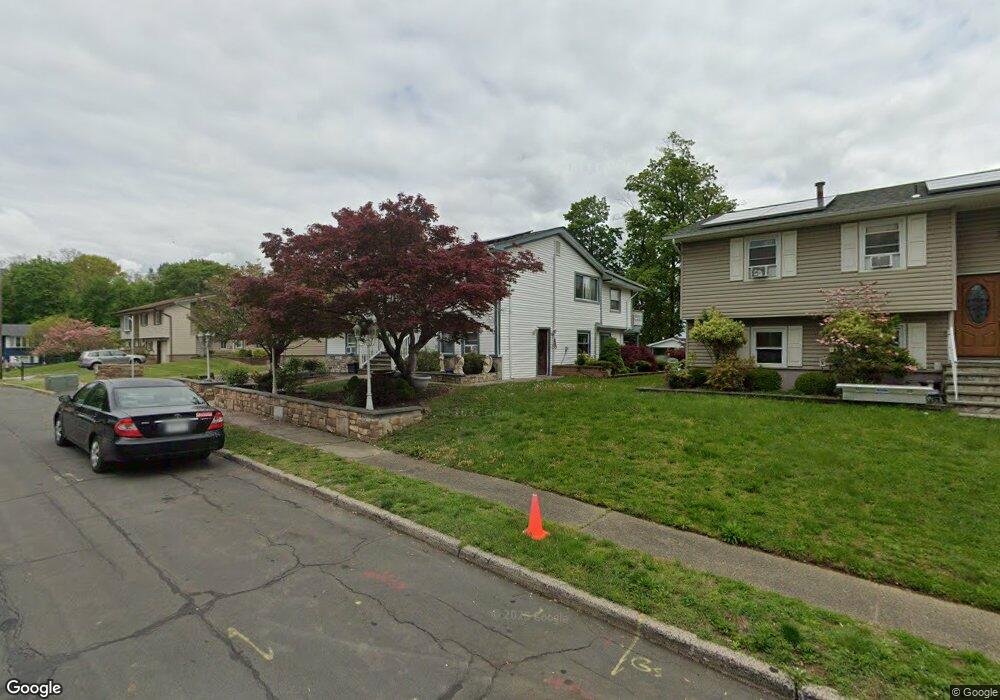
About This Home
This home is located at 6 Andrews Dr, Garnerville, NY 10923 and is currently estimated at $725,828, approximately $413 per square foot. 6 Andrews Dr is a home located in Rockland County with nearby schools including West Haverstraw Elementary School, Haverstraw Elementary School, and Fieldstone Secondary School.
Ownership History
We collect this data history from publicly available records. To have your information removed, we recommend requesting removal directly through your county’s website.
Purchase Details
Home Financials for this Owner
Home Financials are based on the most recent Mortgage that was taken out on this home.Purchase Details
Home Values in the Area
Average Home Value in this Area
Purchase History
We collect this data history from publicly available records. To have your information removed, we recommend requesting removal directly through your county’s website.
| Date | Buyer | Sale Price | Title Company |
|---|---|---|---|
| -- | None Available | ||
| -- | -- |
Mortgage History
We collect this data history from publicly available records. To have your information removed, we recommend requesting removal directly through your county’s website.
| Date | Status | Borrower | Loan Amount |
|---|---|---|---|
| Open | $428,000 |
Tax History
We collect this data history from publicly available records. To have your information removed, we recommend requesting removal directly through your county’s website.
| Year | Tax Paid | Tax Assessment Tax Assessment Total Assessment is a certain percentage of the fair market value that is determined by local assessors to be the total taxable value of land and additions on the property. | Land | Improvement |
|---|---|---|---|---|
| 2024 | $20,108 | $351,100 | $97,500 | $253,600 |
| 2023 | $20,108 | $351,100 | $97,500 | $253,600 |
| 2022 | $3,604 | $351,100 | $97,500 | $253,600 |
| 2021 | $19,882 | $351,100 | $97,500 | $253,600 |
| 2020 | $15,896 | $351,100 | $97,500 | $253,600 |
| 2019 | $3,665 | $351,100 | $97,500 | $253,600 |
| 2018 | $17,095 | $351,100 | $97,500 | $253,600 |
| 2017 | $16,075 | $351,100 | $97,500 | $253,600 |
| 2016 | $16,074 | $351,100 | $97,500 | $253,600 |
| 2015 | -- | $351,100 | $97,500 | $253,600 |
| 2014 | -- | $351,100 | $97,500 | $253,600 |
Map
- 32 Brownsell Ave
- 41 Mclaughlin Ave
- 40 N Route 9w
- 38 Zugibe Ct
- 32 Demarest Ave
- 29 Blauvelt Ave
- 48 Church St
- 7 North St
- 4 Strack Ct
- 12 North St
- 49 Blauvelt Ave
- 3 Samsondale Ave
- 68 Benson St Unit 70
- 68 Blauvelt Ave
- 28 Hewitt St
- 97 Benson St
- 20 Main St Unit 20
- 16 Adler Ct
- 22 Ferracane Place
- 136 E Railroad Ave
- 4 Andrews Dr
- 8 Andrews Dr
- 2 Andrews Dr
- 10 Andrews Dr
- 10 Brush Ct
- 24 W Railroad Ave
- 5 Andrews Dr
- 7 Andrews Dr
- 3 Andrews Dr
- 22 W Railroad Ave
- 6 Brush Ct
- 20 W Railroad Ave
- 1 Andrews Dr
- 18 W Railroad Ave
- 12 Brush Ct
- 33 W Railroad Ave Unit 11
- 33 W Railroad Ave Unit 9
- 33 W Railroad Ave Unit 1A
- 33 W Railroad Ave Unit 3
- 33 W Railroad Ave Unit 1
Ask me questions while you tour the home.