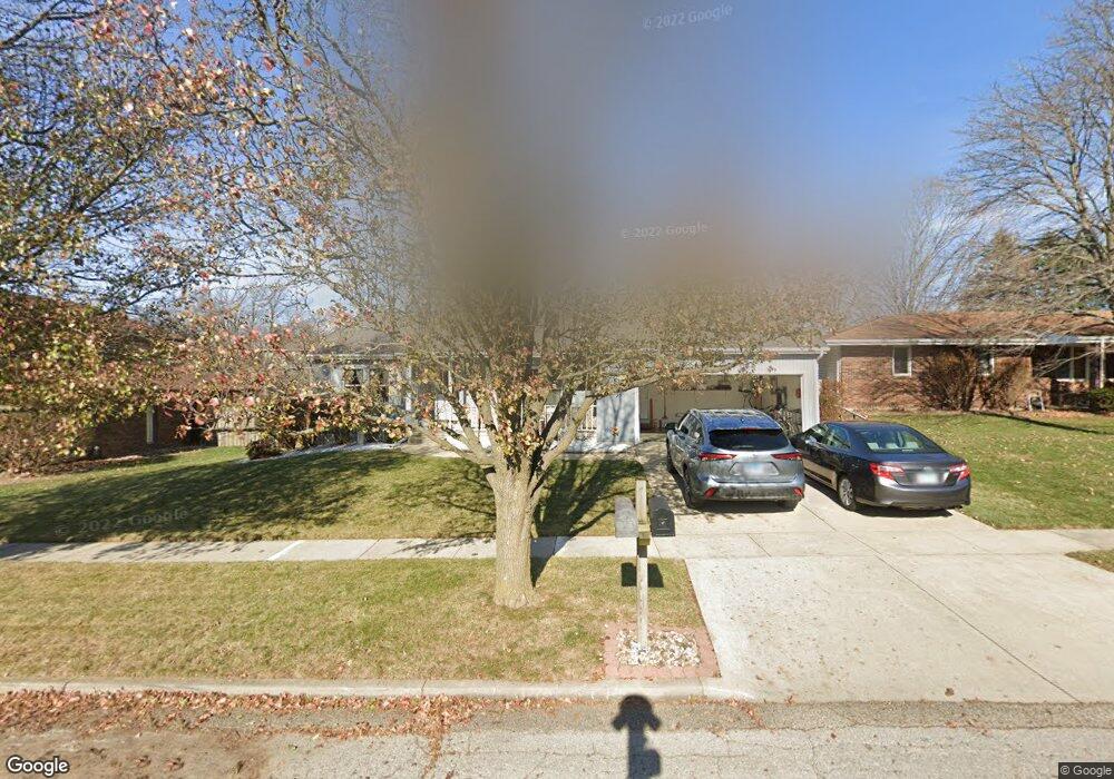
6 Devon Rd Bloomington, IL 61704
Estimated Value: $257,000 - $297,000
4
Beds
3
Baths
1,471
Sq Ft
$185/Sq Ft
Est. Value
About This Home
This home is located at 6 Devon Rd, Bloomington, IL 61704 and is currently estimated at $272,521, approximately $185 per square foot. 6 Devon Rd is a home located in McLean County with nearby schools including Oakland Elementary School, Bloomington Junior High School, and Bloomington High School.
Ownership History
Date
Name
Owned For
Owner Type
Purchase Details
Closed on
Aug 1, 2008
Sold by
Slotky Barry and Slotky Linda S
Bought by
Goodwin Ronald D and Goodwin Donna
Current Estimated Value
Home Financials for this Owner
Home Financials are based on the most recent Mortgage that was taken out on this home.
Original Mortgage
$90,000
Outstanding Balance
$59,589
Interest Rate
6.51%
Estimated Equity
$212,932
Purchase Details
Closed on
Jul 11, 2005
Sold by
Bowes James R and Bowes Laura A
Bought by
Slotky Barry
Create a Home Valuation Report for This Property
The Home Valuation Report is an in-depth analysis detailing your home's value as well as a comparison with similar homes in the area
Purchase History
| Date | Buyer | Sale Price | Title Company |
|---|---|---|---|
| Goodwin Ronald D | $178,500 | None Available | |
| Slotky Barry | $160,000 | None Available |
Source: Public Records
Mortgage History
| Date | Status | Borrower | Loan Amount |
|---|---|---|---|
| Open | Goodwin Ronald D | $90,000 |
Source: Public Records
Tax History
| Year | Tax Paid | Tax Assessment Tax Assessment Total Assessment is a certain percentage of the fair market value that is determined by local assessors to be the total taxable value of land and additions on the property. | Land | Improvement |
|---|---|---|---|---|
| 2024 | $3,825 | $70,299 | $15,800 | $54,499 |
| 2022 | $3,825 | $56,008 | $12,588 | $43,420 |
| 2021 | $3,601 | $53,377 | $11,997 | $41,380 |
| 2020 | $3,543 | $52,796 | $11,866 | $40,930 |
| 2019 | $3,532 | $52,796 | $11,866 | $40,930 |
| 2018 | $3,518 | $52,796 | $11,866 | $40,930 |
| 2017 | $3,582 | $53,545 | $12,034 | $41,511 |
| 2016 | $3,576 | $53,545 | $12,034 | $41,511 |
| 2015 | $3,506 | $52,837 | $11,875 | $40,962 |
| 2014 | $3,298 | $51,644 | $11,875 | $39,769 |
| 2013 | -- | $50,631 | $11,642 | $38,989 |
Source: Public Records
Map
Nearby Homes
- 1114 Andover St
- 3 Harvest Ct
- 317 Waterford Estates Dr
- 6 Stonebrook Ct
- 20 Crystal Ct
- 610 Old Farm Rd
- 2805 Coventry Ct
- 207 Hampton Dr
- 1304 S Hershey Rd
- 1509 Beckenham Dr
- 47 Stonebrook Ct
- 1307 Longford Ln
- 3610 Ballyford Dr
- 59 Stonebrook Ct
- 2419 Maloney Dr
- 3514 Wilder Dr
- 2306 Maysel St
- 19 Brookstone Cir
- 23 Breckenwood Ct
- 67 Astoria Way
Your Personal Tour Guide
Ask me questions while you tour the home.