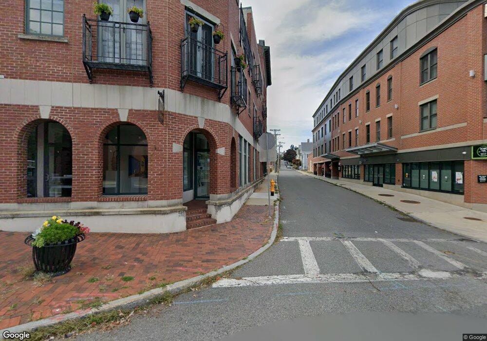
6 Elm St Unit 3 Gloucester, MA 01930
Central Gloucester NeighborhoodEstimated Value: $590,042 - $608,000
2
Beds
2
Baths
1,100
Sq Ft
$547/Sq Ft
Est. Value
About This Home
This home is located at 6 Elm St Unit 3, Gloucester, MA 01930 and is currently estimated at $601,761, approximately $547 per square foot. 6 Elm St Unit 3 is a home located in Essex County with nearby schools including East Gloucester Elementary School, Ralph B O'maley Middle School, and Gloucester High School.
Ownership History
Date
Name
Owned For
Owner Type
Purchase Details
Closed on
Aug 15, 2008
Sold by
Jimary Land T Llc
Bought by
Simoes Manuel F
Current Estimated Value
Home Financials for this Owner
Home Financials are based on the most recent Mortgage that was taken out on this home.
Original Mortgage
$240,000
Outstanding Balance
$158,059
Interest Rate
6.4%
Mortgage Type
Purchase Money Mortgage
Estimated Equity
$443,702
Create a Home Valuation Report for This Property
The Home Valuation Report is an in-depth analysis detailing your home's value as well as a comparison with similar homes in the area
Home Values in the Area
Average Home Value in this Area
Purchase History
| Date | Buyer | Sale Price | Title Company |
|---|---|---|---|
| Simoes Manuel F | $320,000 | -- |
Source: Public Records
Mortgage History
| Date | Status | Borrower | Loan Amount |
|---|---|---|---|
| Open | Simoes Manuel F | $240,000 |
Source: Public Records
Tax History
| Year | Tax Paid | Tax Assessment Tax Assessment Total Assessment is a certain percentage of the fair market value that is determined by local assessors to be the total taxable value of land and additions on the property. | Land | Improvement |
|---|---|---|---|---|
| 2025 | $5,463 | $562,000 | $0 | $562,000 |
| 2024 | $5,124 | $526,600 | $0 | $526,600 |
| 2023 | $4,916 | $464,200 | $0 | $464,200 |
| 2022 | $4,932 | $420,500 | $0 | $420,500 |
| 2021 | $4,921 | $395,600 | $0 | $395,600 |
| 2020 | $4,878 | $395,600 | $0 | $395,600 |
| 2019 | $4,650 | $366,400 | $0 | $366,400 |
| 2018 | $4,388 | $339,400 | $0 | $339,400 |
| 2017 | $4,147 | $314,400 | $0 | $314,400 |
| 2016 | $3,940 | $289,500 | $0 | $289,500 |
| 2015 | $3,866 | $283,200 | $0 | $283,200 |
Source: Public Records
Map
Nearby Homes
- 191 Main St Unit 3
- 191 Main St Unit 2A
- 35 Middle St Unit 4
- 33 Middle St
- 14R Spring St Unit 3
- 113 Pleasant St
- 33 Maplewood Ave Unit 310
- 50 Warner St
- 60 Rocky Neck Ave Unit 202
- 73 Rocky Neck Ave Unit 2
- 20 Beacon St
- 20 Beacon St Unit 2
- 20 Beacon St Unit 1
- 120 Washington St
- 40 Sargent St
- 12 Arthur St
- 9 Cleveland Place
- 197 E Main St Unit 1
- 1 Wonson St
- 11 Wall St Unit R
- 6 Elm St Unit C
- 6 Elm St
- 6 Elm St Unit 5
- 6 Elm St Unit 4
- 6 Elm St Unit 2
- 6 Elm St Unit 1
- 6 Elm St Unit 6
- 196 Main St Unit A
- 196 Main St Unit B
- 196 Main St Unit 5
- 196 Main St Unit 4
- 196 Main St Unit 3
- 196 Main St Unit 2
- 196 Main St Unit 1
- 206 Main St Unit 2
- 206 Main St Unit 3
- 206 Main St Unit 3
- 206 Main St Unit 1
- 180 Main St Unit A
- 208 Main St
Your Personal Tour Guide
Ask me questions while you tour the home.