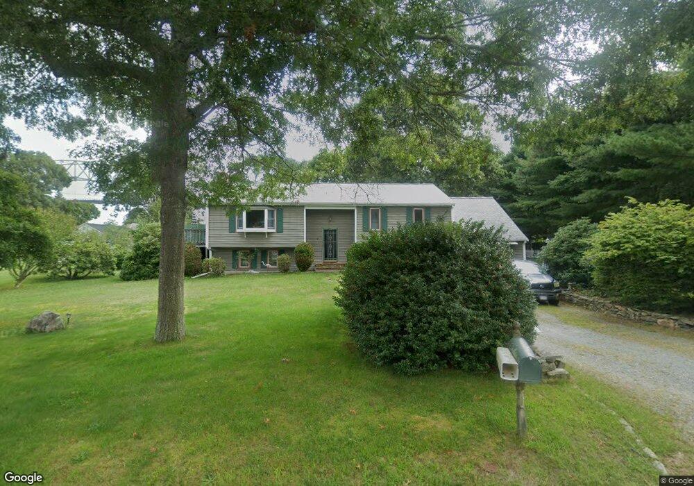
6 Farnum Rd Bourne, MA 2532
Estimated Value: $551,000 - $770,000
2
Beds
3
Baths
2,010
Sq Ft
$334/Sq Ft
Est. Value
About This Home
This home is located at 6 Farnum Rd, Bourne, MA 2532 and is currently estimated at $671,934, approximately $334 per square foot. 6 Farnum Rd is a home located in Barnstable County with nearby schools including Bourne High School, St Margaret Regional School, and Cadence Academy Preschool - Bourne.
Ownership History
Date
Name
Owned For
Owner Type
Purchase Details
Closed on
Oct 11, 1996
Sold by
Bernard William and Bernard Doris
Bought by
Masse John O and Masse Joan M
Current Estimated Value
Create a Home Valuation Report for This Property
The Home Valuation Report is an in-depth analysis detailing your home's value as well as a comparison with similar homes in the area
Purchase History
We collect this data history from publicly available records. To have your information removed, we recommend requesting removal directly through your county’s website.
| Date | Buyer | Sale Price | Title Company |
|---|---|---|---|
| Masse John O | $161,000 | -- | |
| Masse John O | $161,000 | -- |
Source: Public Records
Mortgage History
We collect this data history from publicly available records. To have your information removed, we recommend requesting removal directly through your county’s website.
| Date | Status | Borrower | Loan Amount |
|---|---|---|---|
| Open | Masse John O | $50,000 | |
| Previous Owner | Masse John O | $50,000 |
Source: Public Records
Tax History
| Year | Tax Paid | Tax Assessment Tax Assessment Total Assessment is a certain percentage of the fair market value that is determined by local assessors to be the total taxable value of land and additions on the property. | Land | Improvement |
|---|---|---|---|---|
| 2025 | $4,480 | $573,600 | $244,700 | $328,900 |
| 2024 | $4,381 | $546,200 | $233,000 | $313,200 |
| 2023 | $4,312 | $489,500 | $206,300 | $283,200 |
| 2022 | $4,111 | $407,400 | $182,500 | $224,900 |
| 2021 | $3,995 | $370,900 | $166,100 | $204,800 |
| 2020 | $3,880 | $361,300 | $164,500 | $196,800 |
| 2019 | $3,682 | $350,300 | $164,500 | $185,800 |
| 2018 | $3,631 | $344,500 | $156,700 | $187,800 |
| 2017 | $3,322 | $322,500 | $155,200 | $167,300 |
| 2016 | $3,242 | $319,100 | $155,200 | $163,900 |
| 2015 | $3,213 | $319,100 | $155,200 | $163,900 |
Source: Public Records
Map
Nearby Homes
- 92 Sandwich Rd Unit 4-D
- 84 Cotuit Rd
- 3 Honora Ln Unit 3
- 6 Honora Ln
- 5 Honora Ln Unit 5
- 5 Honora Ln
- 38 Old Bridge Rd
- 32 Everett Rd
- 73 County Rd
- 69 County Rd
- 33 Head of The Bay Rd
- 405 Village Dr Unit 405
- 24 Ships View Terrace
- 46 Holt Rd Unit A
- 51 Ships View Terrace
- 3 Heritage Dr
- 12 Sea Knoll Ct Unit 12
- 0 Holt Rd
- 13 Laurel Hill Ct Unit 13
- 13 Laurel Hill Ct
Your Personal Tour Guide
Ask me questions while you tour the home.