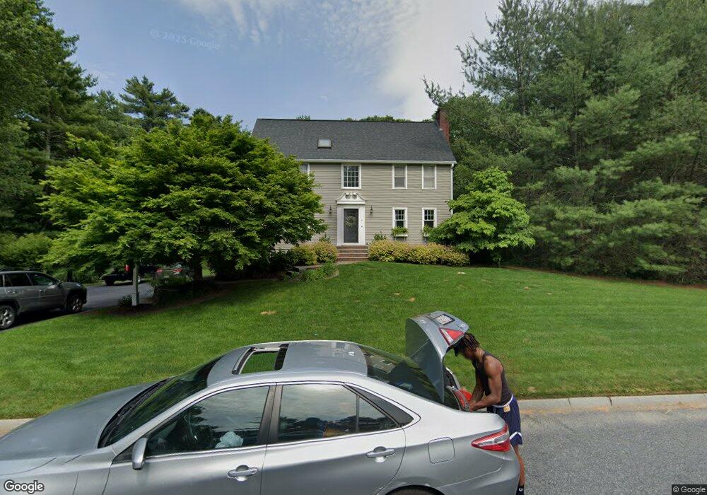
6 Fieldstone Dr Mansfield, MA 02048
Estimated Value: $781,322 - $932,000
3
Beds
3
Baths
2,072
Sq Ft
$412/Sq Ft
Est. Value
About This Home
This home is located at 6 Fieldstone Dr, Mansfield, MA 02048 and is currently estimated at $853,581, approximately $411 per square foot. 6 Fieldstone Dr is a home located in Bristol County with nearby schools including Jordan/Jackson Elementary School, Everett W. Robinson Elementary School, and Harold L. Qualters Middle School.
Ownership History
Date
Name
Owned For
Owner Type
Purchase Details
Closed on
Jan 31, 2002
Sold by
Connelley Thomas and Connelley Cynthia E
Bought by
Jasinski Brian and Jasinski Anne C
Current Estimated Value
Purchase Details
Closed on
Aug 14, 1997
Sold by
Keohane Edward and Keohane Laurie M
Bought by
Connelley Thomas and Connelley Cynthia E
Create a Home Valuation Report for This Property
The Home Valuation Report is an in-depth analysis detailing your home's value as well as a comparison with similar homes in the area
Home Values in the Area
Average Home Value in this Area
Purchase History
We collect this data history from publicly available records. To have your information removed, we recommend requesting removal directly through your county’s website.
| Date | Buyer | Sale Price | Title Company |
|---|---|---|---|
| Jasinski Brian | $350,000 | -- | |
| Jasinski Brian | $350,000 | -- | |
| Connelley Thomas | $250,000 | -- |
Source: Public Records
Mortgage History
We collect this data history from publicly available records. To have your information removed, we recommend requesting removal directly through your county’s website.
| Date | Status | Borrower | Loan Amount |
|---|---|---|---|
| Open | Connelley Thomas | $333,000 | |
| Closed | Connelley Thomas | $339,000 |
Source: Public Records
Tax History
| Year | Tax Paid | Tax Assessment Tax Assessment Total Assessment is a certain percentage of the fair market value that is determined by local assessors to be the total taxable value of land and additions on the property. | Land | Improvement |
|---|---|---|---|---|
| 2025 | $9,033 | $685,900 | $297,600 | $388,300 |
| 2024 | $8,984 | $665,500 | $310,300 | $355,200 |
| 2023 | $8,743 | $620,500 | $310,300 | $310,200 |
| 2022 | $8,436 | $556,100 | $287,800 | $268,300 |
| 2021 | $8,148 | $530,500 | $239,700 | $290,800 |
| 2020 | $8,030 | $522,800 | $239,700 | $283,100 |
| 2019 | $7,400 | $486,200 | $200,500 | $285,700 |
| 2018 | $7,351 | $472,100 | $191,600 | $280,500 |
| 2017 | $6,897 | $459,200 | $186,400 | $272,800 |
| 2016 | $6,693 | $434,300 | $177,500 | $256,800 |
| 2015 | $6,529 | $421,200 | $177,500 | $243,700 |
Source: Public Records
Map
Nearby Homes
- 3 Fieldstone Dr
- 10 Fieldstone Dr
- 11 Fieldstone Dr
- 420 Branch St
- 425 Branch St
- 428 Branch St
- 475 Branch St
- 14 Fieldstone Dr
- 408 Branch St
- 7 Deer Path Ln
- 311 Branch St
- 0 Ware St Unit 71326767
- 18 Fieldstone Dr
- 11 Deer Path Ln
- 19 Fieldstone Dr
- 402 Branch St
- 480 Branch St
- 449 Ware St
- 22 Fieldstone Dr
- 23 Fieldstone Dr
Your Personal Tour Guide
Ask me questions while you tour the home.