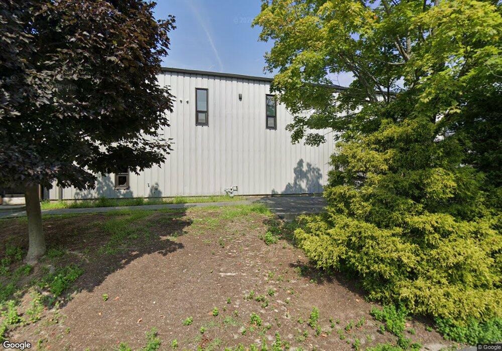
6 Grandview St Coventry, RI 02816
Estimated Value: $698,996
Studio
--
Bath
6,400
Sq Ft
$109/Sq Ft
Est. Value
About This Home
This home is located at 6 Grandview St, Coventry, RI 02816 and is currently estimated at $698,996, approximately $109 per square foot. 6 Grandview St is a home located in Kent County with nearby schools including Alan Shawn Feinstein Ms Of Cov, Coventry High School, and Father John V. Doyle School.
Ownership History
Date
Name
Owned For
Owner Type
Purchase Details
Closed on
Apr 2, 2018
Sold by
Mikmor Llc
Bought by
G2 Group Llc
Current Estimated Value
Home Financials for this Owner
Home Financials are based on the most recent Mortgage that was taken out on this home.
Original Mortgage
$360,000
Outstanding Balance
$307,065
Interest Rate
4.46%
Mortgage Type
Credit Line Revolving
Estimated Equity
$391,931
Create a Home Valuation Report for This Property
The Home Valuation Report is an in-depth analysis detailing your home's value as well as a comparison with similar homes in the area
Purchase History
| Date | Buyer | Sale Price | Title Company |
|---|---|---|---|
| G2 Group Llc | $400,000 | -- |
Source: Public Records
Mortgage History
| Date | Status | Borrower | Loan Amount |
|---|---|---|---|
| Open | G2 Group Llc | $360,000 | |
| Previous Owner | G2 Group Llc | $255,000 |
Source: Public Records
Tax History
| Year | Tax Paid | Tax Assessment Tax Assessment Total Assessment is a certain percentage of the fair market value that is determined by local assessors to be the total taxable value of land and additions on the property. | Land | Improvement |
|---|---|---|---|---|
| 2025 | $9,216 | $407,600 | $222,000 | $185,600 |
| 2024 | $9,138 | $410,500 | $222,000 | $188,500 |
| 2023 | $8,846 | $410,500 | $222,000 | $188,500 |
| 2022 | $8,993 | $381,200 | $203,500 | $177,700 |
| 2021 | $8,916 | $381,200 | $203,500 | $177,700 |
| 2020 | $10,220 | $381,200 | $203,500 | $177,700 |
| 2019 | $10,271 | $383,100 | $228,500 | $154,600 |
| 2018 | $9,980 | $383,100 | $228,500 | $154,600 |
| 2017 | $9,689 | $383,100 | $228,500 | $154,600 |
| 2016 | $9,245 | $358,200 | $207,700 | $150,500 |
| 2015 | $8,991 | $358,200 | $207,700 | $150,500 |
| 2014 | $8,805 | $358,200 | $207,700 | $150,500 |
| 2013 | $8,674 | $385,700 | $235,600 | $150,100 |
Source: Public Records
Map
Nearby Homes
- 32 Longfellow Dr
- 25 Wescott Way Unit 80
- 12 Whittier Dr
- 1 Hampton Rd Unit 27
- 15 Hampton Rd Unit 20
- 19 Hampton Rd Unit 69
- 40 Wescott Way Unit 57
- 9 Holmes Rd
- 101 Village Green Cir
- 14 Myra Rd
- 6 Quill Dr
- 311 Arnold Rd
- 2 Kings Forest Ln
- 32 Lydia Rd
- 275 E Shore Dr
- 25 Westfield Dr
- 59 Bratt Ln
- 11 Kennedy Dr
- 101 Scenic Dr
- 65 Scenic Dr
- 8 Grandview St
- 9 Gay St
- 635 Arnold Rd
- 4 Grafton St
- 633 Arnold Rd
- 641 Arnold Rd
- 655 Arnold Rd
- 599 Arnold Rd
- 667 Arnold Rd
- 11 Grandview Unit # 9 St
- 11 Grandview St Unit 16&18
- 11 Grandview St
- 11 Grandview St Unit 13
- 669 Arnold Rd
- 7 Grandview St
- 9 Salvas Ave
- 2285 New London Turnpike
- 666 Arnold Rd
- 2305 New London Turnpike
- 2293 New London Turnpike
Your Personal Tour Guide
Ask me questions while you tour the home.