6 Green Tree Dr Andover, NJ 07821
Estimated Value: $576,000 - $727,000
About This Home
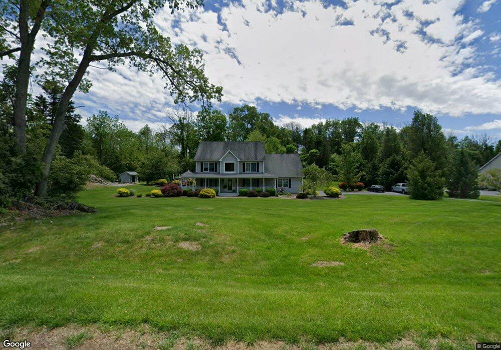
This home is located at 6 Green Tree Dr, Andover, NJ 07821 and is currently estimated at $668,141, approximately $284 per square foot. 6 Green Tree Dr is a home located in Sussex County with nearby schools including Green Hills School and Tranquility Adventist School.
Ownership History
We collect this data history from publicly available records. To have your information removed, we recommend requesting removal directly through your county’s website.
Purchase Details
Home Financials for this Owner
Home Financials are based on the most recent Mortgage that was taken out on this home.Home Values in the Area
Average Home Value in this Area
Purchase History
We collect this data history from publicly available records. To have your information removed, we recommend requesting removal directly through your county’s website.
| Date | Buyer | Sale Price | Title Company |
|---|---|---|---|
| $65,000 | -- |
Mortgage History
We collect this data history from publicly available records. To have your information removed, we recommend requesting removal directly through your county’s website.
| Date | Status | Borrower | Loan Amount |
|---|---|---|---|
| Closed | $45,000 |
Tax History
We collect this data history from publicly available records. To have your information removed, we recommend requesting removal directly through your county’s website.
| Year | Tax Paid | Tax Assessment Tax Assessment Total Assessment is a certain percentage of the fair market value that is determined by local assessors to be the total taxable value of land and additions on the property. | Land | Improvement |
|---|---|---|---|---|
| 2025 | $13,680 | $630,200 | $138,700 | $491,500 |
| 2024 | $13,582 | $351,500 | $108,000 | $243,500 |
| 2023 | $13,582 | $351,500 | $108,000 | $243,500 |
| 2022 | $12,921 | $351,500 | $108,000 | $243,500 |
| 2021 | $12,752 | $351,500 | $108,000 | $243,500 |
| 2020 | $12,443 | $351,500 | $108,000 | $243,500 |
| 2019 | $12,179 | $351,500 | $108,000 | $243,500 |
| 2018 | $12,819 | $351,500 | $108,000 | $243,500 |
| 2017 | $12,563 | $351,500 | $108,000 | $243,500 |
| 2016 | $12,194 | $351,500 | $108,000 | $243,500 |
| 2015 | $11,758 | $351,500 | $108,000 | $243,500 |
| 2014 | $11,438 | $351,500 | $108,000 | $243,500 |
Map
- 2 Stone Forge Rd
- 112 Kennedy Rd
- 15 Spring Hunter Ct
- 10 Old Forge Rd
- 83 Creek Rd
- 77 Decker Pond Rd
- 104 Creek Rd
- 14 Misty Ln
- 42 Scenic Dr
- 569 Ervey Rd
- 37 Pequest Rd
- 0 Decker Pond Airport Rd Unit 3945534
- 7 Woodfield Rd
- 15 Mountainview Dr
- 107 South St
- 278 Decker Pond Rd
- 17 Shotwell Rd
- 17 Quaker Church Rd
- 4 Tote Rd
- 195 Allamuchy Rd
Ask me questions while you tour the home.