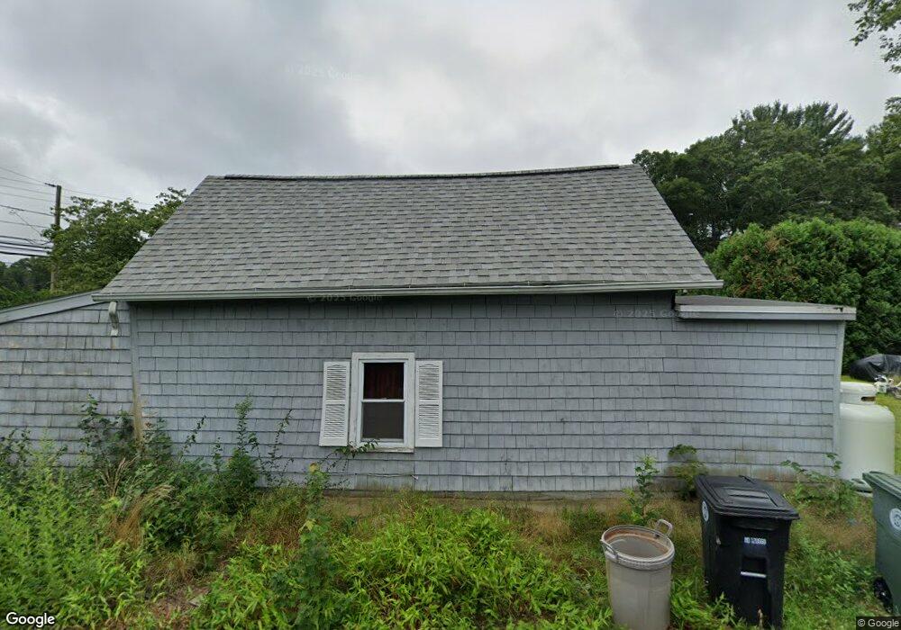
6 Maple Root Rd Coventry, RI 02816
Estimated Value: $280,000 - $463,000
2
Beds
1
Bath
884
Sq Ft
$390/Sq Ft
Est. Value
About This Home
This home is located at 6 Maple Root Rd, Coventry, RI 02816 and is currently estimated at $345,025, approximately $390 per square foot. 6 Maple Root Rd is a home located in Kent County with nearby schools including Alan Shawn Feinstein Ms Of Cov, Coventry High School, and Greenwich Village School.
Ownership History
Date
Name
Owned For
Owner Type
Purchase Details
Closed on
Mar 2, 1989
Sold by
Verrier Michael
Bought by
Cooke Richard
Current Estimated Value
Home Financials for this Owner
Home Financials are based on the most recent Mortgage that was taken out on this home.
Original Mortgage
$67,500
Interest Rate
10.63%
Create a Home Valuation Report for This Property
The Home Valuation Report is an in-depth analysis detailing your home's value as well as a comparison with similar homes in the area
Purchase History
| Date | Buyer | Sale Price | Title Company |
|---|---|---|---|
| Cooke Richard | $67,000 | -- |
Source: Public Records
Mortgage History
| Date | Status | Borrower | Loan Amount |
|---|---|---|---|
| Closed | Cooke Richard | $67,500 |
Source: Public Records
Tax History
| Year | Tax Paid | Tax Assessment Tax Assessment Total Assessment is a certain percentage of the fair market value that is determined by local assessors to be the total taxable value of land and additions on the property. | Land | Improvement |
|---|---|---|---|---|
| 2025 | $2,162 | $134,400 | $60,100 | $74,300 |
| 2024 | $2,129 | $134,400 | $60,100 | $74,300 |
| 2023 | $2,060 | $134,400 | $60,100 | $74,300 |
| 2022 | $1,873 | $95,700 | $53,900 | $41,800 |
| 2021 | $1,857 | $95,700 | $53,900 | $41,800 |
| 2020 | $2,128 | $95,700 | $53,900 | $41,800 |
| 2019 | $1,962 | $88,200 | $49,200 | $39,000 |
| 2018 | $1,906 | $88,200 | $49,200 | $39,000 |
| 2017 | $1,850 | $88,200 | $49,200 | $39,000 |
| 2016 | $2,058 | $96,100 | $46,600 | $49,500 |
| 2015 | $2,002 | $96,100 | $46,600 | $49,500 |
| 2014 | $1,960 | $96,100 | $46,600 | $49,500 |
| 2013 | $2,138 | $114,600 | $58,300 | $56,300 |
Source: Public Records
Map
Nearby Homes
- 22 Pine Way Blvd
- 0 Nooseneck Hill Rd Unit 1404632
- 40 Leisure Way
- 41 Leisure Way
- 67 Linda Dr
- 4 Leisure Way
- 7 Hide Away
- 4 Boyd Brook Cir
- 4 Pine Way Blvd
- 30 Pine Tree Rd
- 21 Pine Way Blvd
- 9 Sherwood Valley Ln
- 24 Sherwood Valley Ln
- 4 Melrose Dr
- 25 Hill Farm Camp Rd
- 61 Cantaberry Ln
- 1 Timber Trail
- 23 Lane b
- 11 Liena Rose Way
- 8 King Philip Rd
Your Personal Tour Guide
Ask me questions while you tour the home.