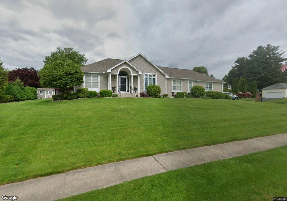
6 Radisson Ln Westfield, MA 01085
Estimated Value: $492,772 - $572,000
3
Beds
2
Baths
1,947
Sq Ft
$282/Sq Ft
Est. Value
About This Home
This home is located at 6 Radisson Ln, Westfield, MA 01085 and is currently estimated at $548,193, approximately $281 per square foot. 6 Radisson Ln is a home located in Hampden County with nearby schools including Westfield High School and Saint Mary High School.
Ownership History
Date
Name
Owned For
Owner Type
Purchase Details
Closed on
Nov 2, 2011
Sold by
Cassetta Pasquale H and Cassetta Marie L
Bought by
Cassetta Ft and Andras Patricia
Current Estimated Value
Purchase Details
Closed on
Dec 20, 1999
Sold by
Tuckahoe Dev Corp
Bought by
Cassestta Pasquale H and Cassetta Marie L
Home Financials for this Owner
Home Financials are based on the most recent Mortgage that was taken out on this home.
Original Mortgage
$188,000
Interest Rate
7.81%
Mortgage Type
Purchase Money Mortgage
Create a Home Valuation Report for This Property
The Home Valuation Report is an in-depth analysis detailing your home's value as well as a comparison with similar homes in the area
Home Values in the Area
Average Home Value in this Area
Purchase History
| Date | Buyer | Sale Price | Title Company |
|---|---|---|---|
| Cassetta Ft | -- | -- | |
| Cassestta Pasquale H | $235,000 | -- |
Source: Public Records
Mortgage History
| Date | Status | Borrower | Loan Amount |
|---|---|---|---|
| Previous Owner | Cassestta Pasquale H | $188,000 |
Source: Public Records
Tax History
| Year | Tax Paid | Tax Assessment Tax Assessment Total Assessment is a certain percentage of the fair market value that is determined by local assessors to be the total taxable value of land and additions on the property. | Land | Improvement |
|---|---|---|---|---|
| 2025 | $7,333 | $483,100 | $145,600 | $337,500 |
| 2024 | $7,501 | $469,700 | $132,800 | $336,900 |
| 2023 | $7,019 | $428,900 | $126,100 | $302,800 |
| 2022 | $7,019 | $379,600 | $112,500 | $267,100 |
| 2021 | $6,802 | $360,300 | $106,200 | $254,100 |
| 2020 | $6,776 | $352,000 | $106,200 | $245,800 |
| 2019 | $6,625 | $336,800 | $101,200 | $235,600 |
| 2018 | $6,520 | $336,800 | $101,200 | $235,600 |
| 2017 | $6,370 | $328,000 | $102,600 | $225,400 |
| 2016 | $6,376 | $328,000 | $102,600 | $225,400 |
| 2015 | $6,224 | $335,700 | $102,600 | $233,100 |
| 2014 | $4,660 | $335,700 | $102,600 | $233,100 |
Source: Public Records
Map
Nearby Homes
- 112 Sunnyside Rd
- 25 Tannery Rd Unit 6A
- 30 Wynnfield Cir
- 44 Tannery Rd
- 2 Sugar Maple Ln
- 240 Hillside Rd
- 29 Tall Pines Trail
- 34 Silvergrass Ln
- 15 Silvergrass Ln
- 65 Old Farm Rd
- 74 S Maple St
- 70 S Maple St
- 16 Squawfield Rd
- 0 Fox Hill Dr
- 26 Hayre St
- 145 Glenwood Dr
- 7 Washington St
- 32 Allen Ave
- 377 N Loomis St
- 42 Putnam Dr
- 10 Waterford Dr
- 2 Radisson Ln
- 45 Barrister Cir
- 18 Radisson Ln
- 4 Radisson Ln
- 11 Radisson Ln
- 5 Radisson Ln
- 17 Radisson Ln
- 9 Waterford Dr
- 16 Waterford Dr
- 51 Barrister Cir
- 22 Radisson Ln
- 21 Radisson Ln
- 36 Barrister Cir
- 40 Barrister Cir
- 15 Waterford Dr
- 44 Barrister Cir
- 20 Waterford Dr
- 50 Barrister Cir
- 56 Barrister Cir
Your Personal Tour Guide
Ask me questions while you tour the home.