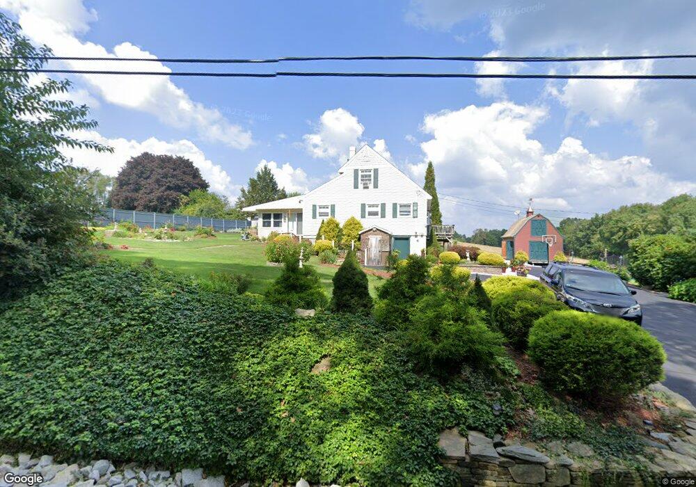
6 Robbins Rd Charlton, MA 01507
Estimated Value: $499,000 - $544,000
3
Beds
3
Baths
1,822
Sq Ft
$285/Sq Ft
Est. Value
About This Home
This home is located at 6 Robbins Rd, Charlton, MA 01507 and is currently estimated at $518,630, approximately $284 per square foot. 6 Robbins Rd is a home located in Worcester County with nearby schools including Shepherd Hill Regional High School and ViewPoint Christian Academy.
Ownership History
Date
Name
Owned For
Owner Type
Purchase Details
Closed on
Aug 15, 2014
Sold by
Schimmelmann Loren E and Schimmelmann Elizabeth R
Bought by
Schimmelmann Lt and Schimmelmann
Current Estimated Value
Purchase Details
Closed on
Feb 6, 1963
Bought by
Lt Schimmelmann
Create a Home Valuation Report for This Property
The Home Valuation Report is an in-depth analysis detailing your home's value as well as a comparison with similar homes in the area
Home Values in the Area
Average Home Value in this Area
Purchase History
| Date | Buyer | Sale Price | Title Company |
|---|---|---|---|
| Schimmelmann Lt | -- | -- | |
| Schimmelmann Lt | -- | -- | |
| Lt Schimmelmann | -- | -- |
Source: Public Records
Mortgage History
| Date | Status | Borrower | Loan Amount |
|---|---|---|---|
| Previous Owner | Lt Schimmelmann | $48,000 |
Source: Public Records
Tax History
| Year | Tax Paid | Tax Assessment Tax Assessment Total Assessment is a certain percentage of the fair market value that is determined by local assessors to be the total taxable value of land and additions on the property. | Land | Improvement |
|---|---|---|---|---|
| 2025 | $4,557 | $409,400 | $88,100 | $321,300 |
| 2024 | $4,423 | $390,000 | $88,100 | $301,900 |
| 2023 | $4,275 | $351,300 | $85,100 | $266,200 |
| 2022 | $4,048 | $304,600 | $77,500 | $227,100 |
| 2021 | $3,997 | $266,300 | $73,400 | $192,900 |
| 2020 | $3,935 | $263,400 | $70,500 | $192,900 |
| 2019 | $3,890 | $263,400 | $70,500 | $192,900 |
| 2018 | $3,556 | $263,400 | $70,500 | $192,900 |
| 2017 | $3,342 | $237,000 | $64,600 | $172,400 |
| 2016 | $3,266 | $237,000 | $64,600 | $172,400 |
| 2015 | $3,181 | $237,000 | $64,600 | $172,400 |
| 2014 | $3,042 | $240,300 | $68,300 | $172,000 |
Source: Public Records
Map
Nearby Homes
- 60 Saundersdale Rd
- 72 NW Schoolhouse Rd
- 0 Blood Rd
- 325 Ashland Ave Unit 10
- 325 Ashland Ave Unit 12
- 20 Golf St
- 27 Jerome St
- 192 Southbridge Rd
- 876 Worcester St
- 95 Ramshorn Rd
- 7 Pearl St
- Lot 7 Harrington Rd
- 172 Mechanic St
- 33 Crystal St
- 59 Crystal St
- 17 Moon St
- 86 Ramshorn Rd
- 28 Maple St
- 0 Oak Ridge Dr
- 91 Burlingame Rd
Your Personal Tour Guide
Ask me questions while you tour the home.