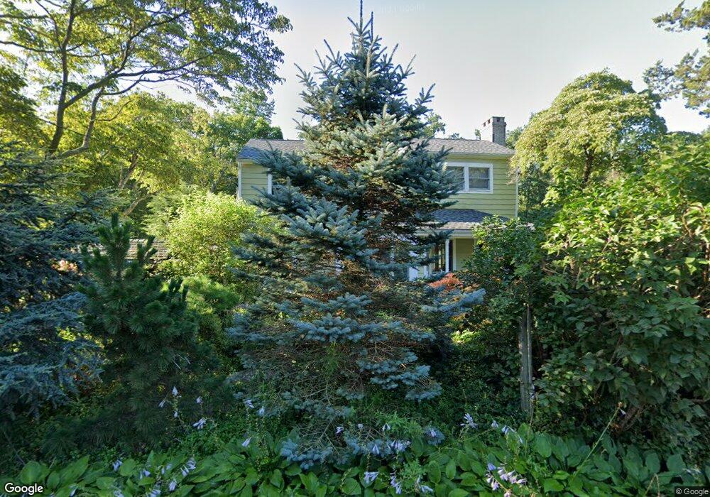
6 Samuelson Rd Weston, CT 06883
Estimated Value: $773,000 - $1,058,000
About This Home
This home is located at 6 Samuelson Rd, Weston, CT 06883 and is currently estimated at $893,046, approximately $440 per square foot. 6 Samuelson Rd is a home located in Fairfield County with nearby schools including Hurlbutt Elementary School, Weston Intermediate School, and Weston Middle School.
Ownership History
We collect this data history from publicly available records. To have your information removed, we recommend requesting removal directly through your county’s website.
Purchase Details
Home Values in the Area
Average Home Value in this Area
Purchase History
We collect this data history from publicly available records. To have your information removed, we recommend requesting removal directly through your county’s website.
| Date | Buyer | Sale Price | Title Company |
|---|---|---|---|
| -- | -- |
Mortgage History
We collect this data history from publicly available records. To have your information removed, we recommend requesting removal directly through your county’s website.
| Date | Status | Borrower | Loan Amount |
|---|---|---|---|
| Open | $310,000 | ||
| Closed | $132,000 |
Tax History
We collect this data history from publicly available records. To have your information removed, we recommend requesting removal directly through your county’s website.
| Year | Tax Paid | Tax Assessment Tax Assessment Total Assessment is a certain percentage of the fair market value that is determined by local assessors to be the total taxable value of land and additions on the property. | Land | Improvement |
|---|---|---|---|---|
| 2025 | $9,871 | $413,000 | $185,220 | $227,780 |
| 2024 | $9,693 | $413,000 | $185,220 | $227,780 |
| 2023 | $10,283 | $311,040 | $185,230 | $125,810 |
| 2022 | $10,255 | $311,040 | $185,230 | $125,810 |
| 2021 | $25,457 | $311,040 | $185,230 | $125,810 |
| 2020 | $25,442 | $311,040 | $185,230 | $125,810 |
| 2019 | $10,068 | $311,040 | $185,230 | $125,810 |
| 2018 | $20,741 | $321,700 | $201,900 | $119,800 |
| 2017 | $9,300 | $321,700 | $201,900 | $119,800 |
| 2016 | $9,188 | $321,700 | $201,900 | $119,800 |
| 2015 | $9,252 | $321,700 | $201,900 | $119,800 |
| 2014 | $9,085 | $321,700 | $201,900 | $119,800 |
Map
- 96 Georgetown Rd
- 181 Georgetown Rd
- 29 Old Farm Rd
- 172 Mather St
- 00 Old Mill Rd
- 204 Mather St
- 0 Old Mill Rd
- 50 Old Farm Rd
- 37 Highland Ave
- 18 Church St
- 42 Cannondale Rd
- 22 Pent Rd
- 8 Dorado Ct
- 23 Church St
- 0 Mountain Rd
- 175 Mountain Rd
- 16 Mountain Rd
- 4 Scatacook Trail
- 18 Indian Hill Rd
- 81 Trails End Rd
- 10 Samuelson Rd
- 9 Samuelson Rd
- 12 Samuelson Rd
- 5 Samuelson Rd
- 2 Samuelson Rd
- 16 Samuelson Rd
- 13 Samuelson Rd
- 111 Georgetown Rd
- 18 Samuelson Rd
- 26 Samuelson Rd
- 107 Georgetown Rd
- 20 Samuelson Rd
- 113 Georgetown Rd
- 101 Georgetown Rd
- 19 Samuelson Rd
- 112 Georgetown Rd
- 115 Georgetown Rd
- 17 Samuelson Rd
- 22 Samuelson Rd
- 119 Georgetown Rd
Ask me questions while you tour the home.