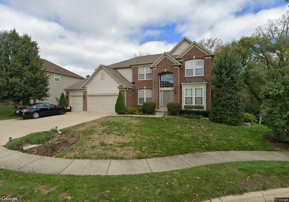
6 Springbrook Ct Streamwood, IL 60107
Estimated Value: $624,199 - $729,000
About This Home
This home is located at 6 Springbrook Ct, Streamwood, IL 60107 and is currently estimated at $665,550, approximately $209 per square foot. 6 Springbrook Ct is a home located in Cook County with nearby schools including Hilltop Elementary School, Canton Middle School, and Streamwood High School.
Ownership History
We collect this data history from publicly available records. To have your information removed, we recommend requesting removal directly through your county’s website.
Purchase Details
Home Financials for this Owner
Home Financials are based on the most recent Mortgage that was taken out on this home.Home Values in the Area
Average Home Value in this Area
Purchase History
We collect this data history from publicly available records. To have your information removed, we recommend requesting removal directly through your county’s website.
| Date | Buyer | Sale Price | Title Company |
|---|---|---|---|
| $630,500 | Cti |
Mortgage History
We collect this data history from publicly available records. To have your information removed, we recommend requesting removal directly through your county’s website.
| Date | Status | Borrower | Loan Amount |
|---|---|---|---|
| Previous Owner | $300,000 |
Tax History
We collect this data history from publicly available records. To have your information removed, we recommend requesting removal directly through your county’s website.
| Year | Tax Paid | Tax Assessment Tax Assessment Total Assessment is a certain percentage of the fair market value that is determined by local assessors to be the total taxable value of land and additions on the property. | Land | Improvement |
|---|---|---|---|---|
| 2025 | $12,427 | $57,000 | $9,214 | $47,786 |
| 2024 | $12,427 | $43,433 | $8,062 | $35,371 |
| 2023 | $12,700 | $43,433 | $8,062 | $35,371 |
| 2022 | $12,700 | $45,467 | $8,062 | $37,405 |
| 2021 | $11,231 | $33,820 | $6,910 | $26,910 |
| 2020 | $11,127 | $33,820 | $6,910 | $26,910 |
| 2019 | $10,976 | $37,578 | $6,910 | $30,668 |
| 2018 | $11,580 | $36,237 | $6,046 | $30,191 |
| 2017 | $12,505 | $39,271 | $6,046 | $33,225 |
| 2016 | $12,485 | $40,895 | $6,046 | $34,849 |
| 2015 | $10,891 | $33,182 | $5,470 | $27,712 |
| 2014 | $10,753 | $33,182 | $5,470 | $27,712 |
| 2013 | $11,531 | $36,583 | $5,470 | $31,113 |
Map
- 1563 Yellowstone Dr
- 916 Kings Canyon Dr
- 1513 Yellowstone Dr
- 10 Sequoia Ct
- 713 Blue Ridge Dr
- 1413 Yellowstone Dr
- 932 Tuscany Dr
- 1293 Foxglove Dr
- 1295 Foxglove Dr
- 1291 Foxglove Dr
- 1370 Foxglove Dr
- 1279 Foxglove Dr
- 632 Philip Dr
- 106 Wildflower Way
- 687 Rose Ln
- 758 Lambert Ln Unit 976
- 477 Peregrine Pkwy Unit D
- 171 Monarch Dr Unit 90626S
- 787 Thornbury Ct Unit 1041
- 1196 Nottingham Ln
- 7 Springbrook Ct
- 9 Springbrook Ct
- 904 Blue Ridge Dr
- 5 Springbrook Ct
- 906 Blue Ridge Dr
- 902 Blue Ridge Dr
- 910 Blue Ridge Dr
- 912 Blue Ridge Dr
- 4 Springbrook Ct
- 905 Blue Ridge Dr
- 824 Blue Ridge Dr
- 907 Blue Ridge Dr
- 909 Blue Ridge Dr
- 911 Blue Ridge Dr
- 2 Springbrook Ct
- 913 Blue Ridge Dr
- 915 Blue Ridge Dr
- 822 Blue Ridge Dr
- 827 Blue Ridge Dr
- 917 Blue Ridge Dr
Ask me questions while you tour the home.