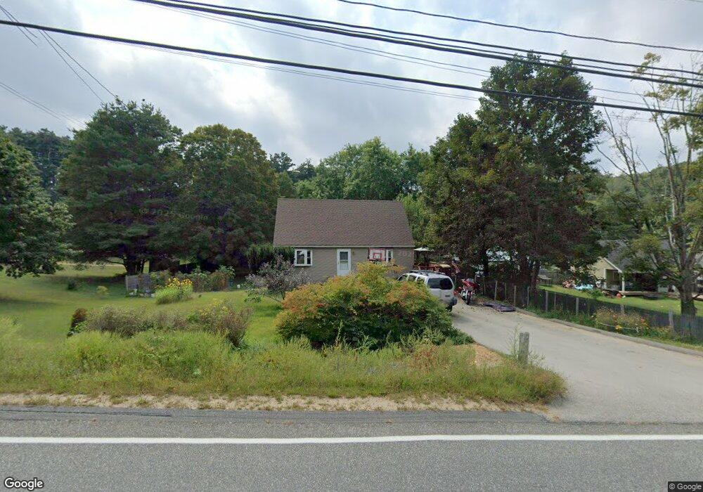
6 Sturbridge Rd Holland, MA 01521
Estimated Value: $320,000 - $358,000
About This Home
This home is located at 6 Sturbridge Rd, Holland, MA 01521 and is currently estimated at $344,795, approximately $291 per square foot. 6 Sturbridge Rd is a home located in Hampden County with nearby schools including Holland Elementary School, Tantasqua Regional Junior High School, and Tantasqua Regional High School.
Ownership History
We collect this data history from publicly available records. To have your information removed, we recommend requesting removal directly through your county’s website.
Purchase Details
Purchase Details
Home Values in the Area
Average Home Value in this Area
Purchase History
We collect this data history from publicly available records. To have your information removed, we recommend requesting removal directly through your county’s website.
| Date | Buyer | Sale Price | Title Company |
|---|---|---|---|
| -- | -- | ||
| -- | -- | ||
| $21,912 | -- | ||
| $21,912 | -- |
Mortgage History
We collect this data history from publicly available records. To have your information removed, we recommend requesting removal directly through your county’s website.
| Date | Status | Borrower | Loan Amount |
|---|---|---|---|
| Previous Owner | $25,000 |
Tax History
We collect this data history from publicly available records. To have your information removed, we recommend requesting removal directly through your county’s website.
| Year | Tax Paid | Tax Assessment Tax Assessment Total Assessment is a certain percentage of the fair market value that is determined by local assessors to be the total taxable value of land and additions on the property. | Land | Improvement |
|---|---|---|---|---|
| 2025 | $3,185 | $245,400 | $44,200 | $201,200 |
| 2024 | $2,920 | $215,500 | $44,000 | $171,500 |
| 2023 | $2,771 | $211,700 | $44,000 | $167,700 |
| 2022 | $2,643 | $170,100 | $39,300 | $130,800 |
| 2021 | $2,456 | $147,800 | $34,100 | $113,700 |
| 2020 | $2,456 | $147,800 | $34,100 | $113,700 |
| 2019 | $2,325 | $139,200 | $34,100 | $105,100 |
| 2018 | $2,297 | $135,100 | $30,000 | $105,100 |
| 2017 | $2,245 | $132,700 | $30,000 | $102,700 |
| 2016 | $2,185 | $135,900 | $32,000 | $103,900 |
| 2015 | $2,128 | $131,100 | $32,000 | $99,100 |
Map
- 0 E Brimfield Rd
- 21 Dug Hill Rd
- 43 Lakeshore Dr
- 49&0 Over The Top
- 61 E Brimfield Rd
- 31 Leno Rd
- 241 Mashapaug Rd
- 38 Island Rd
- 9 Lois Ln
- 8 Julia Ann Dr
- 12 Carey Rd
- 124 Old County Rd
- 64 S Cottage Rd
- 266 Holland Rd
- 6 Henry Rd
- 88 Stafford Holland Rd
- 84 Stafford Holland Rd
- 558 Haynes St
- 122 Maybrook Rd
- 11 Shore Dr
- 5 Mashapaug Rd
- 0 Mashapaug L;5 Unit 72416161
- 1 Mashapaug Rd
- 10 Sturbridge Rd
- 13 Mashapaug Rd
- 3 Sturbridge Rd
- 2 Sturbridge Rd
- 4 Brimfield Rd
- 1 Sturbridge Rd
- 1 Sturbridge Rd
- 1 Sturbridge Rd
- 0 Sturbridge Rd
- 2 Mashapaug Rd
- 2 Mashapaug Rd
- 11 Mashapaug Rd
- 0 Mashapaug Rd
- 20 Sturbridge Rd
- 3 Brimfield Rd
- 35 Brimfield Rd
- 14 Brimfield Rd
Ask me questions while you tour the home.