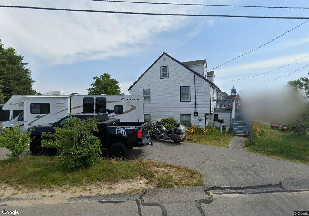
6 Tower Ln Buzzards Bay, MA 02532
Buzzards Bay NeighborhoodEstimated Value: $568,000 - $794,000
4
Beds
2
Baths
1,842
Sq Ft
$347/Sq Ft
Est. Value
About This Home
This home is located at 6 Tower Ln, Buzzards Bay, MA 02532 and is currently estimated at $638,720, approximately $346 per square foot. 6 Tower Ln is a home located in Barnstable County with nearby schools including Bourne High School and St Margaret Regional School.
Ownership History
Date
Name
Owned For
Owner Type
Purchase Details
Closed on
Jan 10, 2025
Sold by
Mulligan Roseann
Bought by
Roseann Mulligan Rt and Mulligan
Current Estimated Value
Purchase Details
Closed on
Jun 14, 2006
Sold by
Mulligan Roseann and Strauss Therese
Bought by
Mulligan Roseann
Create a Home Valuation Report for This Property
The Home Valuation Report is an in-depth analysis detailing your home's value as well as a comparison with similar homes in the area
Home Values in the Area
Average Home Value in this Area
Purchase History
| Date | Buyer | Sale Price | Title Company |
|---|---|---|---|
| Roseann Mulligan Rt | -- | None Available | |
| Roseann Mulligan Rt | -- | None Available | |
| Mulligan Roseann | -- | -- | |
| Mulligan Roseann | -- | -- | |
| Mulligan Roseann | -- | -- |
Source: Public Records
Tax History
| Year | Tax Paid | Tax Assessment Tax Assessment Total Assessment is a certain percentage of the fair market value that is determined by local assessors to be the total taxable value of land and additions on the property. | Land | Improvement |
|---|---|---|---|---|
| 2025 | $3,494 | $447,400 | $190,800 | $256,600 |
| 2024 | $3,417 | $426,100 | $181,700 | $244,400 |
| 2023 | $3,515 | $399,000 | $182,700 | $216,300 |
| 2022 | $3,102 | $307,400 | $135,800 | $171,600 |
| 2021 | $3,013 | $279,800 | $123,600 | $156,200 |
| 2020 | $2,845 | $264,900 | $122,400 | $142,500 |
| 2019 | $2,700 | $256,900 | $122,400 | $134,500 |
| 2018 | $2,579 | $244,700 | $116,600 | $128,100 |
| 2017 | $2,336 | $226,800 | $115,500 | $111,300 |
| 2016 | $2,282 | $224,600 | $115,500 | $109,100 |
| 2015 | $2,262 | $224,600 | $115,500 | $109,100 |
Source: Public Records
Map
Nearby Homes
- 60 Bourne Neck Dr
- 34 Washington Ave
- 40-A Lafayette Ave
- 4 Van Bummel Rd
- 151 - 153 Main St
- 56 Rip Van Winkle Way
- 0 Holt Rd
- 8 Pine Tree Dr
- 35 Benedict Rd
- 46 Holt Rd Unit A
- 22 Wallace Point
- 3 Fairway Dr Unit F
- 20 Alderberry Rd
- 14 Quamhassett Rd
- 5 Zoli Ln
- 92 Choctaw Dr
- 22 Bay View Ave
- 3132 Cranberry Hwy Unit 59
- 12 Mason Street Extension
- 6 Wall St
Your Personal Tour Guide
Ask me questions while you tour the home.