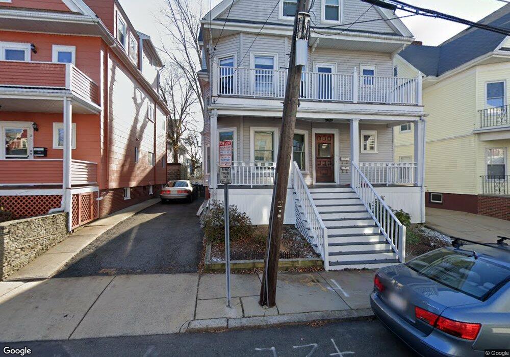
6 Windsor Rd Unit 1 Somerville, MA 02144
Porter Square NeighborhoodEstimated Value: $788,000 - $899,000
2
Beds
1
Bath
1,140
Sq Ft
$737/Sq Ft
Est. Value
About This Home
This home is located at 6 Windsor Rd Unit 1, Somerville, MA 02144 and is currently estimated at $840,560, approximately $737 per square foot. 6 Windsor Rd Unit 1 is a home located in Middlesex County with nearby schools including Somerville High School, St. Clement Elementary School, and Saint Theresa School.
Ownership History
Date
Name
Owned For
Owner Type
Purchase Details
Closed on
Mar 7, 2003
Sold by
Mcniglow Katherine and Owsley Katherine L
Bought by
Chiri Giuseppina and Bonato Paolo
Current Estimated Value
Home Financials for this Owner
Home Financials are based on the most recent Mortgage that was taken out on this home.
Original Mortgage
$294,400
Outstanding Balance
$119,216
Interest Rate
5.95%
Mortgage Type
Purchase Money Mortgage
Estimated Equity
$721,344
Create a Home Valuation Report for This Property
The Home Valuation Report is an in-depth analysis detailing your home's value as well as a comparison with similar homes in the area
Home Values in the Area
Average Home Value in this Area
Purchase History
We collect this data history from publicly available records. To have your information removed, we recommend requesting removal directly through your county’s website.
| Date | Buyer | Sale Price | Title Company |
|---|---|---|---|
| Chiri Giuseppina | $368,000 | -- |
Source: Public Records
Mortgage History
We collect this data history from publicly available records. To have your information removed, we recommend requesting removal directly through your county’s website.
| Date | Status | Borrower | Loan Amount |
|---|---|---|---|
| Open | Chiri Giuseppina | $294,400 |
Source: Public Records
Tax History
| Year | Tax Paid | Tax Assessment Tax Assessment Total Assessment is a certain percentage of the fair market value that is determined by local assessors to be the total taxable value of land and additions on the property. | Land | Improvement |
|---|---|---|---|---|
| 2025 | $7,530 | $690,200 | $0 | $690,200 |
| 2024 | $7,114 | $676,200 | $0 | $676,200 |
| 2023 | $6,900 | $667,300 | $0 | $667,300 |
| 2022 | $6,535 | $641,900 | $0 | $641,900 |
| 2021 | $6,398 | $627,900 | $0 | $627,900 |
| 2020 | $6,131 | $607,600 | $0 | $607,600 |
| 2019 | $6,332 | $588,500 | $0 | $588,500 |
| 2018 | $6,352 | $561,600 | $0 | $561,600 |
| 2017 | $5,977 | $512,200 | $0 | $512,200 |
| 2016 | $5,556 | $443,400 | $0 | $443,400 |
| 2015 | $5,173 | $410,200 | $0 | $410,200 |
Source: Public Records
Map
Nearby Homes
- 4 Fairlee St
- 315 Highland Ave Unit 101
- 79 Willow Ave
- 36 Burnside Ave Unit 1
- 353 Summer St Unit 310
- 371 Highland Ave
- 9 Orchard St
- 19 Conwell St Unit 1
- 19 Conwell St Unit 2
- 174 Elm St Unit 1
- 158 Albion St
- 156 Albion St Unit R
- 10 Beech St Unit 2
- 20 Prichard Ave
- 13 Warwick St
- 15 Boston Ave Unit 1
- 24 Linden Ave
- 29 Prichard Ave Unit 3
- 29 Prichard Ave Unit 1
- 815 Somerville Ave
- 42 Charnwood Rd
- 44 Charnwood Rd
- 38 Charnwood Rd
- 6 Windsor Rd Unit 2
- 6 Windsor Rd Unit B
- 2 Windsor Rd
- 2 Windsor Rd Unit 1
- 8 Windsor Rd
- 34 Charnwood Rd
- 41 Charnwood Rd Unit 41
- 41-43 Charnwood Rd
- 41 Charnwood Rd
- 41-43 Charnwood Rd Unit 41
- 43 Charnwood Rd
- 39 Charnwood Rd
- 39 Charnwood Rd Unit 2
- 12 Windsor Rd Unit 2
- 45 Charnwood Rd
- 69 Hancock St
- 69 Hancock St Unit 2
Your Personal Tour Guide
Ask me questions while you tour the home.