60 Brandy Ln Hudson, ME 04449
Estimated Value: $96,000 - $195,000
Studio
--
Bath
1,050
Sq Ft
$124/Sq Ft
Est. Value
About This Home
This home is located at 60 Brandy Ln, Hudson, ME 04449 and is currently estimated at $130,105, approximately $123 per square foot. 60 Brandy Ln is a home located in Penobscot County with nearby schools including Central Community Elementary School and Central High School.
Create a Home Valuation Report for This Property
The Home Valuation Report is an in-depth analysis detailing your home's value as well as a comparison with similar homes in the area
Tax History
| Year | Tax Paid | Tax Assessment Tax Assessment Total Assessment is a certain percentage of the fair market value that is determined by local assessors to be the total taxable value of land and additions on the property. | Land | Improvement |
|---|---|---|---|---|
| 2024 | $852 | $52,400 | $22,200 | $30,200 |
| 2023 | $799 | $52,400 | $22,200 | $30,200 |
| 2022 | $760 | $52,400 | $22,200 | $30,200 |
| 2021 | $610 | $42,100 | $22,200 | $19,900 |
| 2019 | $760 | $52,400 | $22,200 | $30,200 |
| 2018 | $749 | $52,400 | $22,200 | $30,200 |
| 2017 | $728 | $52,400 | $22,200 | $30,200 |
| 2016 | $703 | $52,430 | $22,220 | $30,210 |
| 2015 | $663 | $51,430 | $21,220 | $30,210 |
| 2014 | $622 | $51,430 | $21,220 | $30,210 |
| 2013 | $584 | $51,430 | $21,220 | $30,210 |
Source: Public Records
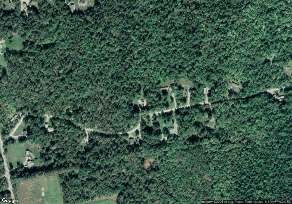
Map
Nearby Homes
- 398 Hudson Hill Rd
- 632 Hudson Hill Rd
- 2016 Hudson Rd
- 14 Pushaw Woods Ln
- 1156 Main St
- 218 Hay Rd
- 748 Grant Rd
- 19 Marston Meadow Rd
- 34 Center St
- 32 Center St
- 14-2 Hemlock Dr
- 67 Stacey Ln
- 465 Grant Rd
- 263 Mudgett Rd
- 7 Ellingwood Dr
- 20, Ln
- 2979 Hudson Rd
- 8, 20 24 & 46 Martins Ln
- 8 Martins Ln
- 336 Beechwood Ave
Your Personal Tour Guide
Ask me questions while you tour the home.