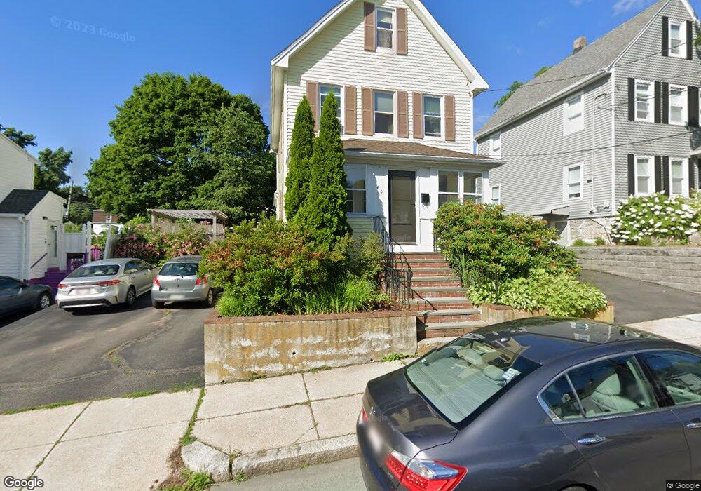
60 Glendower Rd Roslindale, MA 02131
Roslindale NeighborhoodEstimated Value: $749,000 - $804,606
3
Beds
2
Baths
1,544
Sq Ft
$508/Sq Ft
Est. Value
About This Home
This home is located at 60 Glendower Rd, Roslindale, MA 02131 and is currently estimated at $783,902, approximately $507 per square foot. 60 Glendower Rd is a home located in Suffolk County with nearby schools including Brooke Charter School Roslindale, Sacred Heart STEM School, and St. Clare High School.
Ownership History
Date
Name
Owned For
Owner Type
Purchase Details
Closed on
Nov 18, 2002
Sold by
Mckenna Diane N
Bought by
Max Mckeown Cynthia A and Max Polrivchak
Current Estimated Value
Home Financials for this Owner
Home Financials are based on the most recent Mortgage that was taken out on this home.
Original Mortgage
$210,000
Interest Rate
6.03%
Mortgage Type
Purchase Money Mortgage
Create a Home Valuation Report for This Property
The Home Valuation Report is an in-depth analysis detailing your home's value as well as a comparison with similar homes in the area
Home Values in the Area
Average Home Value in this Area
Purchase History
We collect this data history from publicly available records. To have your information removed, we recommend requesting removal directly through your county’s website.
| Date | Buyer | Sale Price | Title Company |
|---|---|---|---|
| Max Mckeown Cynthia A | $269,500 | -- |
Source: Public Records
Mortgage History
We collect this data history from publicly available records. To have your information removed, we recommend requesting removal directly through your county’s website.
| Date | Status | Borrower | Loan Amount |
|---|---|---|---|
| Open | Max Mckeown Cynthia A | $170,000 | |
| Closed | Max Mckeown Cynthia A | $210,000 | |
| Previous Owner | Max Mckeown Cynthia A | $20,000 |
Source: Public Records
Tax History
| Year | Tax Paid | Tax Assessment Tax Assessment Total Assessment is a certain percentage of the fair market value that is determined by local assessors to be the total taxable value of land and additions on the property. | Land | Improvement |
|---|---|---|---|---|
| 2025 | $8,182 | $706,600 | $220,000 | $486,600 |
| 2024 | $7,195 | $660,100 | $186,400 | $473,700 |
| 2023 | $6,624 | $616,800 | $174,200 | $442,600 |
| 2022 | $6,215 | $571,200 | $161,300 | $409,900 |
| 2021 | $5,685 | $532,800 | $155,100 | $377,700 |
| 2020 | $5,485 | $519,400 | $155,000 | $364,400 |
| 2019 | $5,212 | $494,500 | $124,700 | $369,800 |
| 2018 | $4,934 | $470,800 | $124,700 | $346,100 |
| 2017 | $4,705 | $444,300 | $124,700 | $319,600 |
| 2016 | $4,484 | $407,600 | $124,700 | $282,900 |
| 2015 | $4,569 | $377,300 | $120,300 | $257,000 |
| 2014 | $4,311 | $342,700 | $120,300 | $222,400 |
Source: Public Records
Map
Nearby Homes
- 498 Beech St
- 41 Cornell St
- 5 7 Hemman St
- 142 Metropolitan Ave Unit 2
- 142 Metropolitan Ave Unit 1
- 142 Metropolitan Ave
- 567 Poplar St
- 29 Denton Terrace
- 55 Metropolitan Ave
- 9 Cedrus Ave
- 25 Crandall St
- 25 Pinedale Rd Unit 1
- 196 Durnell Ave Unit 196
- 86 Hawthorne St
- 797-799 Hyde Park Ave
- 699 Hyde Park Ave Unit 6
- 778 W Roxbury Pkwy
- 95 Orange St
- 790 Hyde Park Ave Unit 24
- 800 Hyde Park Ave Unit 3
- 66 Glendower Rd Unit 68
- 66 Glendower Rd Unit 1-1
- 66 68 Glendower Rd
- 70 Glendower Rd Unit 70
- 70 Glendower Rd Unit A
- 72 Glendower Rd Unit B
- 72 Glendower Rd Unit A
- 64 Glendower Rd
- 62 Glendower Rd
- 510 Beech St
- 76 Glendower Rd
- 504 Beech St
- 520 Beech St
- 63 Glendower Rd
- 63 Glendower Rd Unit 2
- 75 Glendower Rd
- 75 Glendower Rd Unit 3
- 75 Glendower Rd Unit 2
- 69 Glendower Rd
- 65 Glendower Rd
Your Personal Tour Guide
Ask me questions while you tour the home.