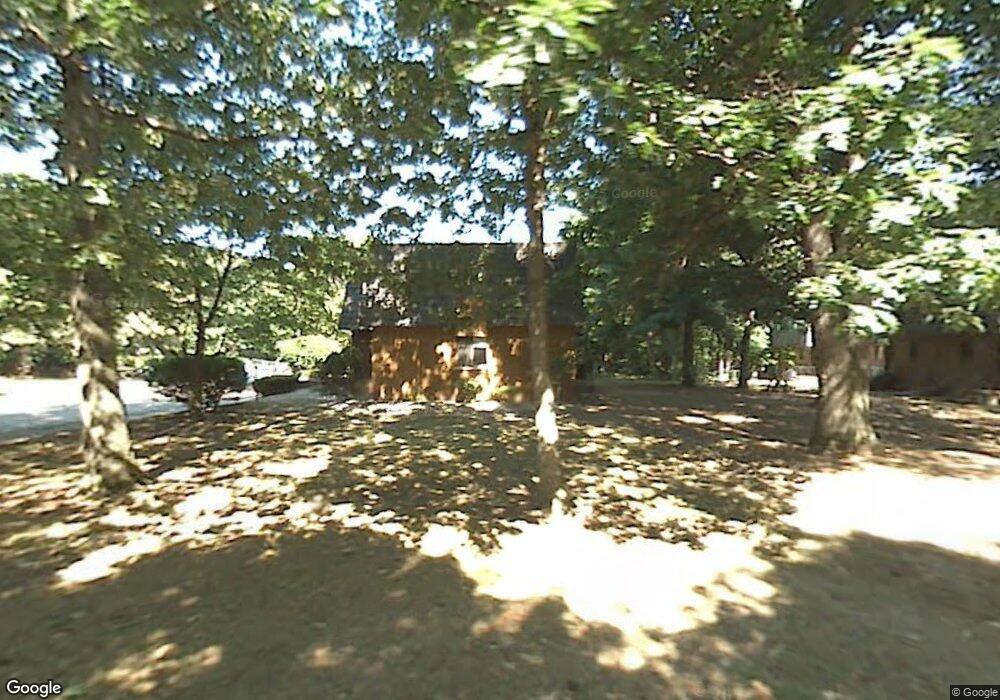
60 High Path Rd Windsor, CT 06095
West Windsor NeighborhoodEstimated Value: $175,000 - $184,000
2
Beds
2
Baths
960
Sq Ft
$187/Sq Ft
Est. Value
About This Home
Two bed two bathroom condo.
Quiet street, convenient to Highways, groceries and shopping centers. Outdoor pool.
Ownership History
Date
Name
Owned For
Owner Type
Purchase Details
Closed on
Aug 1, 2017
Sold by
Wells Fargo Bank Na
Bought by
Dedaniya Jaydeep
Current Estimated Value
Purchase Details
Closed on
Oct 27, 2004
Sold by
Kiraly Georgette
Bought by
Pierre Brian
Home Financials for this Owner
Home Financials are based on the most recent Mortgage that was taken out on this home.
Original Mortgage
$78,600
Interest Rate
9.3%
Mortgage Type
Purchase Money Mortgage
Create a Home Valuation Report for This Property
The Home Valuation Report is an in-depth analysis detailing your home's value as well as a comparison with similar homes in the area
Home Values in the Area
Average Home Value in this Area
Purchase History
| Date | Buyer | Sale Price | Title Company |
|---|---|---|---|
| Dedaniya Jaydeep | $46,301 | -- | |
| Pierre Brian | $88,000 | -- |
Source: Public Records
Mortgage History
| Date | Status | Borrower | Loan Amount |
|---|---|---|---|
| Previous Owner | Pierre Brian | $78,600 | |
| Previous Owner | Pierre Brian | $5,000 |
Source: Public Records
Property History
| Date | Event | Price | List to Sale | Price per Sq Ft |
|---|---|---|---|---|
| 08/18/2025 08/18/25 | Off Market | $1,850 | -- | -- |
| 08/03/2025 08/03/25 | For Rent | $1,850 | -- | -- |
Map
Nearby Homes
- 98 High Path Rd
- 136 High Path Rd
- 943 High Path Rd Unit 943
- 268 High Path Rd Unit 268
- 485 River St
- 105 Sunrise Cir
- 22 Eastview Dr
- 1 Deanne Lynn Cir
- 35 Hollow Brook Rd
- 58 Hollow Brook Rd
- 24 Mary Catherine Cir
- 109 Old Village Cir
- 32 Walnut Cir
- 490 Old Day Hill Rd
- 957 Palisado Ave
- 24 Coolidge St
- 24 MacKtown Rd
- 24 Bel-Aire Cir
- 10 Cleary Ln
- 5 Haskins Rd Unit 5
- 60 High Path Rd Unit 60
- 60 High Path Rd
- 58 High Path Rd
- 54 High Path Rd
- 54 High Path Rd Unit 54
- 62 High Path Rd
- 62 High Path Rd Unit 62
- 56 High Path Rd
- 56 High Path Rd Unit 56
- 64 High Path Rd
- 68 High Path Rd
- 66 High Path Rd
- 48 High Path Rd
- 50 High Path Rd
- 46 High Path Rd
- 46 High Path Rd Unit 46
- 42 High Path Rd
- 42 High Path Rd Unit 42
- 44 High Path Rd
- 72 High Path Rd
Your Personal Tour Guide
Ask me questions while you tour the home.