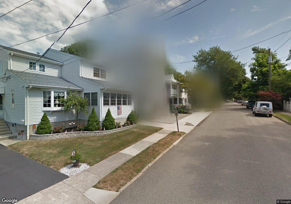
60 Shell Ave Milford, CT 06460
Downtown Milford NeighborhoodEstimated Value: $856,000 - $1,003,000
3
Beds
3
Baths
2,862
Sq Ft
$324/Sq Ft
Est. Value
About This Home
This home is located at 60 Shell Ave, Milford, CT 06460 and is currently estimated at $927,022, approximately $323 per square foot. 60 Shell Ave is a home located in New Haven County with nearby schools including Meadowside School, West Shore Middle School, and Jonathan Law High School.
Ownership History
Date
Name
Owned For
Owner Type
Purchase Details
Closed on
May 31, 2001
Sold by
Sacher Kathryn W
Bought by
Pocock Nancy W and Pocock Roger N
Current Estimated Value
Purchase Details
Closed on
Jan 31, 1994
Sold by
Cole David N
Bought by
Walsh Kathryn
Create a Home Valuation Report for This Property
The Home Valuation Report is an in-depth analysis detailing your home's value as well as a comparison with similar homes in the area
Home Values in the Area
Average Home Value in this Area
Purchase History
We collect this data history from publicly available records. To have your information removed, we recommend requesting removal directly through your county’s website.
| Date | Buyer | Sale Price | Title Company |
|---|---|---|---|
| Pocock Nancy W | $330,000 | -- | |
| Pocock Nancy W | $330,000 | -- | |
| Walsh Kathryn | $143,000 | -- | |
| Walsh Kathryn | $143,000 | -- |
Source: Public Records
Mortgage History
We collect this data history from publicly available records. To have your information removed, we recommend requesting removal directly through your county’s website.
| Date | Status | Borrower | Loan Amount |
|---|---|---|---|
| Open | Walsh Kathryn | $150,000 | |
| Closed | Walsh Kathryn | $150,000 | |
| Closed | Walsh Kathryn | $339,000 |
Source: Public Records
Tax History
| Year | Tax Paid | Tax Assessment Tax Assessment Total Assessment is a certain percentage of the fair market value that is determined by local assessors to be the total taxable value of land and additions on the property. | Land | Improvement |
|---|---|---|---|---|
| 2025 | $14,204 | $480,690 | $200,490 | $280,200 |
| 2024 | $14,007 | $480,690 | $200,490 | $280,200 |
| 2023 | $13,060 | $480,690 | $200,490 | $280,200 |
| 2022 | $12,793 | $480,050 | $200,490 | $279,560 |
| 2021 | $11,453 | $414,220 | $170,690 | $243,530 |
| 2020 | $11,466 | $414,220 | $170,690 | $243,530 |
| 2019 | $11,478 | $414,220 | $170,690 | $243,530 |
| 2018 | $11,490 | $414,220 | $170,690 | $243,530 |
| 2017 | $11,511 | $414,220 | $170,690 | $243,530 |
| 2016 | $11,133 | $399,890 | $142,240 | $257,650 |
| 2015 | $11,149 | $399,890 | $142,240 | $257,650 |
| 2014 | $10,885 | $399,890 | $142,240 | $257,650 |
Source: Public Records
Map
Nearby Homes
Your Personal Tour Guide
Ask me questions while you tour the home.