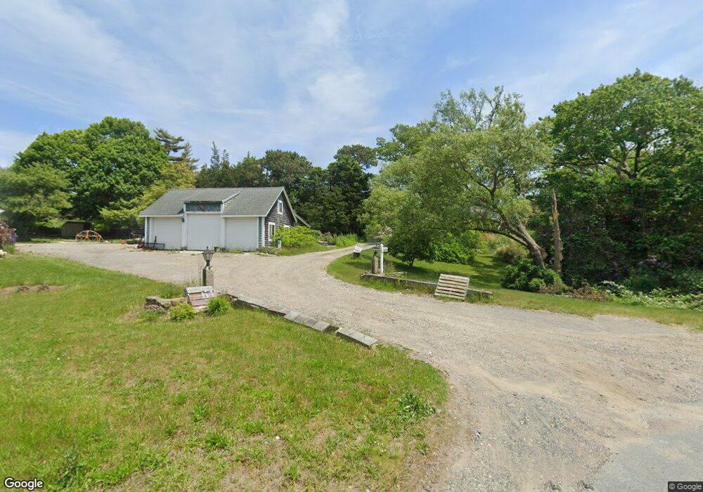
60 State Rd Sagamore Beach, MA 02562
Estimated Value: $662,000 - $821,000
4
Beds
3
Baths
2,468
Sq Ft
$312/Sq Ft
Est. Value
About This Home
This home is located at 60 State Rd, Sagamore Beach, MA 02562 and is currently estimated at $768,848, approximately $311 per square foot. 60 State Rd is a home located in Barnstable County with nearby schools including Bourne High School, Bridgeview Montessori School, and Waldorf School of Cape Cod.
Ownership History
Date
Name
Owned For
Owner Type
Purchase Details
Closed on
Sep 29, 2016
Sold by
Tonello Jeffrey R and Tonello Laura F
Bought by
Tonello Aaron and Tonello Rachel
Current Estimated Value
Home Financials for this Owner
Home Financials are based on the most recent Mortgage that was taken out on this home.
Original Mortgage
$235,000
Outstanding Balance
$185,662
Interest Rate
3.43%
Mortgage Type
New Conventional
Estimated Equity
$583,186
Create a Home Valuation Report for This Property
The Home Valuation Report is an in-depth analysis detailing your home's value as well as a comparison with similar homes in the area
Home Values in the Area
Average Home Value in this Area
Purchase History
| Date | Buyer | Sale Price | Title Company |
|---|---|---|---|
| Tonello Aaron | $325,000 | -- |
Source: Public Records
Mortgage History
| Date | Status | Borrower | Loan Amount |
|---|---|---|---|
| Open | Tonello Aaron | $235,000 |
Source: Public Records
Tax History
| Year | Tax Paid | Tax Assessment Tax Assessment Total Assessment is a certain percentage of the fair market value that is determined by local assessors to be the total taxable value of land and additions on the property. | Land | Improvement |
|---|---|---|---|---|
| 2025 | $6,033 | $772,500 | $231,400 | $541,100 |
| 2024 | $5,899 | $735,500 | $220,300 | $515,200 |
| 2023 | $5,734 | $650,900 | $195,000 | $455,900 |
| 2022 | $5,391 | $534,300 | $172,500 | $361,800 |
| 2021 | $5,237 | $486,300 | $157,000 | $329,300 |
| 2020 | $5,070 | $472,100 | $155,500 | $316,600 |
| 2019 | $4,813 | $457,900 | $155,500 | $302,400 |
| 2018 | $4,562 | $432,800 | $148,200 | $284,600 |
| 2017 | $4,341 | $421,500 | $146,700 | $274,800 |
| 2016 | $4,217 | $415,100 | $146,700 | $268,400 |
| 2015 | $3,885 | $385,800 | $117,400 | $268,400 |
Source: Public Records
Map
Nearby Homes
- 17 Andrew Rd
- 16 Ocean Pines Dr Unit B
- 3 Dover Ln
- 64 Hunters Brook Rd
- 0 State Rd
- 8 Driftwood Ln
- 18 Gibbs Rd
- 1 Luigi Ave
- 1 Luigi Ave
- 38 Siasconset Dr
- 10 Tecumseh Rd
- 896 Sandwich Rd
- 133 Phillips Rd
- 150 Herring Pond Rd
- 4 Carmela Ln
- 51 Commonwealth Ave
- 51 Commonwealth Ave
- 6 Aspen Rd
- 6 Aspen Rd
- 56 Samoset Rd
Your Personal Tour Guide
Ask me questions while you tour the home.