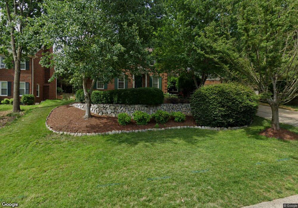
600 Laurel Fork Dr Matthews, NC 28105
Estimated Value: $628,574 - $690,000
4
Beds
3
Baths
2,500
Sq Ft
$265/Sq Ft
Est. Value
About This Home
This home is located at 600 Laurel Fork Dr, Matthews, NC 28105 and is currently estimated at $661,644, approximately $264 per square foot. 600 Laurel Fork Dr is a home located in Mecklenburg County with nearby schools including Elizabeth Lane Elementary, South Charlotte Middle, and Providence High.
Ownership History
Date
Name
Owned For
Owner Type
Purchase Details
Closed on
Jun 12, 2025
Sold by
Saed Nissren L and Saed Montaser E
Bought by
Montaser & Nisuren Saed Revocable Living Trus and Saed
Current Estimated Value
Purchase Details
Closed on
Jul 30, 1999
Sold by
Clifton Wood Barry and Clifton Carmen T
Bought by
Saed Montaser E and Saed Nissren A
Home Financials for this Owner
Home Financials are based on the most recent Mortgage that was taken out on this home.
Original Mortgage
$140,000
Interest Rate
7.66%
Mortgage Type
Purchase Money Mortgage
Create a Home Valuation Report for This Property
The Home Valuation Report is an in-depth analysis detailing your home's value as well as a comparison with similar homes in the area
Home Values in the Area
Average Home Value in this Area
Purchase History
| Date | Buyer | Sale Price | Title Company |
|---|---|---|---|
| Montaser & Nisuren Saed Revocable Living Trus | -- | None Listed On Document | |
| Montaser & Nisuren Saed Revocable Living Trus | -- | None Listed On Document | |
| Saed Montaser E | $219,000 | -- |
Source: Public Records
Mortgage History
| Date | Status | Borrower | Loan Amount |
|---|---|---|---|
| Previous Owner | Saed Montaser E | $140,000 |
Source: Public Records
Tax History
| Year | Tax Paid | Tax Assessment Tax Assessment Total Assessment is a certain percentage of the fair market value that is determined by local assessors to be the total taxable value of land and additions on the property. | Land | Improvement |
|---|---|---|---|---|
| 2025 | $3,857 | $507,900 | $100,000 | $407,900 |
| 2024 | $3,857 | $507,900 | $100,000 | $407,900 |
| 2023 | $3,857 | $507,900 | $100,000 | $407,900 |
| 2022 | $3,277 | $355,000 | $90,000 | $265,000 |
| 2021 | $3,184 | $355,000 | $90,000 | $265,000 |
| 2020 | $3,184 | $355,000 | $90,000 | $265,000 |
| 2019 | $3,218 | $355,000 | $90,000 | $265,000 |
| 2018 | $2,992 | $251,600 | $67,900 | $183,700 |
| 2017 | $2,932 | $251,600 | $67,900 | $183,700 |
| 2016 | $2,928 | $251,600 | $67,900 | $183,700 |
| 2015 | $2,925 | $251,600 | $67,900 | $183,700 |
| 2014 | $2,853 | $250,400 | $61,800 | $188,600 |
Source: Public Records
Map
Nearby Homes
- 406 Port Royal Dr
- 609 Fredricksburg Rd
- 1062 Elizabeth Manor Ct
- 401 Leighton Ct
- 425 Clairview Ln
- 614 Ashgrove Ln
- 304 Epperstone Ln
- 440 Bubbling Well Rd
- 1311 Somersby Ln
- 1015 Chelsea Place
- 101 Umi Ct
- 801 Reverdy Ln
- 2724 Artesian Ct
- 630 Silversmith Ln
- 1405 Elmsford Ln
- 9012 Waggoneer Cir
- 1300 Reverdy Ln Unit 2
- 429 Eberle Way
- 2601 Rustic Ridge Ct
- 412 Eberle Way
- 530 Laurel Fork Dr
- 302 Southern Cross Ln
- 302 Southern Cross Ln Unit 69
- 220 Southern Cross Ln
- 514 Laurel Fork Dr
- 616 Laurel Fork Dr
- 214 Southern Cross Ln
- 601 Laurel Fork Dr
- 306 Southern Cross Ln
- 607 Laurel Fork Dr
- 531 Laurel Fork Dr
- 615 Laurel Fork Dr
- 525 Laurel Fork Dr
- 622 Laurel Fork Dr
- 208 Southern Cross Ln
- 310 Southern Cross Ln
- 519 Laurel Fork Dr
- 621 Laurel Fork Dr
- 522 Laurel Fork Dr
- 202 Walnut Point Dr
Your Personal Tour Guide
Ask me questions while you tour the home.