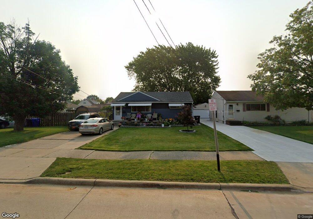
6005 Michael Dr Brookpark, OH 44142
Brook Park AreaEstimated Value: $206,000 - $215,000
About This Home
This home is located at 6005 Michael Dr, Brookpark, OH 44142 and is currently estimated at $210,921, approximately $178 per square foot. 6005 Michael Dr is a home located in Cuyahoga County with nearby schools including Berea-Midpark Middle School, Berea-Midpark High School, and Huber Heights Preparatory Academy Parma Academy.
Ownership History
We collect this data history from publicly available records. To have your information removed, we recommend requesting removal directly through your county’s website.
Purchase Details
Home Financials for this Owner
Home Financials are based on the most recent Mortgage that was taken out on this home.Purchase Details
Home Financials for this Owner
Home Financials are based on the most recent Mortgage that was taken out on this home.Purchase Details
Home Values in the Area
Average Home Value in this Area
Purchase History
We collect this data history from publicly available records. To have your information removed, we recommend requesting removal directly through your county’s website.
| Date | Buyer | Sale Price | Title Company |
|---|---|---|---|
| $64,850 | Heavyweight Title Co | ||
| $125,000 | Resource Title Agency Inc | ||
| -- | -- |
Mortgage History
We collect this data history from publicly available records. To have your information removed, we recommend requesting removal directly through your county’s website.
| Date | Status | Borrower | Loan Amount |
|---|---|---|---|
| Open | $13,812 | ||
| Open | $143,673 | ||
| Closed | $15,856 | ||
| Closed | $12,937 | ||
| Closed | $9,130 | ||
| Closed | $37,355 | ||
| Closed | $123,978 |
Tax History
We collect this data history from publicly available records. To have your information removed, we recommend requesting removal directly through your county’s website.
| Year | Tax Paid | Tax Assessment Tax Assessment Total Assessment is a certain percentage of the fair market value that is determined by local assessors to be the total taxable value of land and additions on the property. | Land | Improvement |
|---|---|---|---|---|
| 2025 | $2,820 | $56,245 | $10,640 | $45,605 |
| 2024 | $2,837 | $56,245 | $10,640 | $45,605 |
| 2023 | $2,974 | $48,830 | $8,160 | $40,670 |
| 2022 | $2,953 | $48,830 | $8,160 | $40,670 |
| 2021 | $2,936 | $48,830 | $8,160 | $40,670 |
| 2020 | $2,647 | $38,750 | $6,480 | $32,270 |
| 2019 | $2,568 | $110,700 | $18,500 | $92,200 |
| 2018 | $2,455 | $38,750 | $6,480 | $32,270 |
| 2017 | $2,549 | $35,670 | $6,090 | $29,580 |
| 2016 | $2,528 | $35,670 | $6,090 | $29,580 |
| 2015 | $2,372 | $35,670 | $6,090 | $29,580 |
| 2014 | $2,372 | $35,670 | $6,090 | $29,580 |
Map
- 14291 Gallatin Blvd
- 13963 Havendale Dr
- 14121 Donald Dr
- 5716 Champaign Ave
- 13605 Crestway Dr
- 5763 Somerdale Ave
- 5728 van Wert Ave
- 6130 Smith Rd
- 6176 Carol Dr
- 5818 Smith Rd
- 13610 Starlite Dr
- 15460 Rademaker Dr
- 13495 Donald Dr
- 13548 Holland Rd
- 15541 Susan Dr
- 15424 Holland Rd
- 15497 Hummel Rd
- 15500 Richard Dr
- 15916 Meigs Blvd
- 6391 Smith Rd
- 14433 Fayette Blvd
- 14415 Fayette Blvd
- 14399 Fayette Blvd
- 6011 Michael Dr
- 14468 Fayette Blvd
- 14381 Fayette Blvd
- 14473 Fayette Blvd
- 14432 Fayette Blvd
- 14414 Fayette Blvd
- 6017 Michael Dr
- 6028 Brook Ct
- 14486 Fayette Blvd
- 14363 Fayette Blvd
- 14491 Fayette Blvd
- 14398 Fayette Blvd
- 14380 Fayette Blvd
- 6030 Brook Ct
- 14497 S Gallatin Blvd
- 6023 Michael Dr
- 14509 Fayette Blvd
Ask me questions while you tour the home.