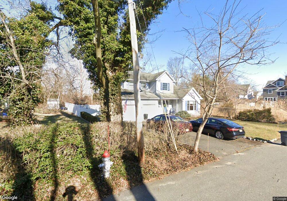
601 Center St Brielle, NJ 08730
Estimated Value: $1,391,000 - $1,497,001
4
Beds
2
Baths
2,182
Sq Ft
$663/Sq Ft
Est. Value
About This Home
This home is located at 601 Center St, Brielle, NJ 08730 and is currently estimated at $1,447,250, approximately $663 per square foot. 601 Center St is a home located in Monmouth County with nearby schools including Brielle Elementary School and St. Peter School.
Ownership History
Date
Name
Owned For
Owner Type
Purchase Details
Closed on
Sep 24, 2003
Sold by
Levenelm Albert
Bought by
Raney Christopher and Raney Kathleen
Current Estimated Value
Purchase Details
Closed on
Mar 30, 1995
Sold by
Hamilton Lester
Bought by
Levenhelm Albert and Levenhelm Gail
Home Financials for this Owner
Home Financials are based on the most recent Mortgage that was taken out on this home.
Original Mortgage
$60,000
Interest Rate
8.66%
Create a Home Valuation Report for This Property
The Home Valuation Report is an in-depth analysis detailing your home's value as well as a comparison with similar homes in the area
Home Values in the Area
Average Home Value in this Area
Purchase History
| Date | Buyer | Sale Price | Title Company |
|---|---|---|---|
| Raney Christopher | $585,000 | -- | |
| Levenhelm Albert | $130,000 | -- |
Source: Public Records
Mortgage History
| Date | Status | Borrower | Loan Amount |
|---|---|---|---|
| Previous Owner | Levenhelm Albert | $60,000 |
Source: Public Records
Tax History
| Year | Tax Paid | Tax Assessment Tax Assessment Total Assessment is a certain percentage of the fair market value that is determined by local assessors to be the total taxable value of land and additions on the property. | Land | Improvement |
|---|---|---|---|---|
| 2025 | $13,274 | $1,211,200 | $754,200 | $457,000 |
| 2024 | $11,753 | $1,069,600 | $624,000 | $445,600 |
| 2023 | $11,753 | $914,600 | $488,600 | $426,000 |
| 2022 | $11,085 | $882,300 | $463,600 | $418,700 |
| 2021 | $11,085 | $723,100 | $388,600 | $334,500 |
| 2020 | $10,968 | $670,000 | $343,000 | $327,000 |
| 2019 | $10,705 | $663,700 | $338,600 | $325,100 |
| 2018 | $10,762 | $658,600 | $348,600 | $310,000 |
| 2017 | $10,240 | $619,100 | $318,600 | $300,500 |
| 2016 | $9,904 | $599,900 | $308,600 | $291,300 |
| 2015 | $9,477 | $569,900 | $288,600 | $281,300 |
| 2014 | $8,993 | $577,200 | $312,800 | $264,400 |
Source: Public Records
Map
Nearby Homes
- 612 Union Ave
- 323-325 Fisk Ave
- 500 Morgan Pkwy
- 329 Fisk Ave
- 10 Waters Edge
- 308 South St
- 130 Union Ave
- 713 Howell Dr
- 608 Rankin Rd
- 22 Crescent Dr
- 405 Perrine Blvd
- 642 Rankin Rd
- 404 Perrine Blvd
- 816 Rathjen Rd
- 2555 Algonkin Trail
- 340 E Main St
- 28 Wyckoff Ave Unit and 28-1/2
- 133 Fletcher Ave
- 100 Mohegan Rd
- 2548 Constance Dr
- 603 Center St
- 607 Center St
- 523 Harris Ave
- 600 Center St
- 521 Harris Ave
- 529 Harris Ave
- 519 Harris Ave
- 525 Harris Ave
- 527 Harris Ave
- 520 Longstreet Ave
- 517 Harris Ave
- 606 Center St
- 528 Longstreet Ave
- 526 Longstreet Ave
- 510 Seaview Ave
- 522 Longstreet Ave
- 1 River Place
- 533 Harris Ave
- 518 Longstreet Ave
- 518 Harris Ave
Your Personal Tour Guide
Ask me questions while you tour the home.