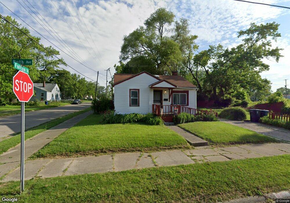
601 E Ruth Ave Flint, MI 48505
MLK Circle NeighborhoodEstimated Value: $24,000 - $47,000
2
Beds
1
Bath
768
Sq Ft
$52/Sq Ft
Est. Value
About This Home
This home is located at 601 E Ruth Ave, Flint, MI 48505 and is currently estimated at $40,209, approximately $52 per square foot. 601 E Ruth Ave is a home located in Genesee County with nearby schools including Brownell STEM Academy, The New Standard Academy, and Eagle's Nest Academy.
Ownership History
Date
Name
Owned For
Owner Type
Purchase Details
Closed on
May 30, 2024
Sold by
Davis Silas
Bought by
Jackson Willie N
Current Estimated Value
Purchase Details
Closed on
Apr 14, 2018
Sold by
Genesee County Treasurer
Bought by
Davis Silas
Purchase Details
Closed on
Feb 9, 2015
Sold by
Genesee County Land Bank Authority
Bought by
Davis Silas
Purchase Details
Closed on
Feb 5, 2013
Sold by
The Genesee County Land Bank Authority
Bought by
Davis Silas
Purchase Details
Closed on
Dec 20, 2012
Sold by
Cherry Deborah L and Genesee County Treasurer
Bought by
Genesee County Land Bank
Create a Home Valuation Report for This Property
The Home Valuation Report is an in-depth analysis detailing your home's value as well as a comparison with similar homes in the area
Home Values in the Area
Average Home Value in this Area
Purchase History
| Date | Buyer | Sale Price | Title Company |
|---|---|---|---|
| Jackson Willie N | -- | None Listed On Document | |
| Davis Silas | $1,606 | None Available | |
| Davis Silas | $2,000 | None Available | |
| Davis Silas | $2,000 | None Available | |
| Genesee County Land Bank | -- | None Available |
Source: Public Records
Mortgage History
| Date | Status | Borrower | Loan Amount |
|---|---|---|---|
| Closed | Davis Silas | $0 |
Source: Public Records
Tax History
| Year | Tax Paid | Tax Assessment Tax Assessment Total Assessment is a certain percentage of the fair market value that is determined by local assessors to be the total taxable value of land and additions on the property. | Land | Improvement |
|---|---|---|---|---|
| 2025 | $470 | $6,800 | $0 | $0 |
| 2024 | $444 | $5,300 | $0 | $0 |
| 2023 | $446 | $4,900 | $0 | $0 |
| 2022 | $0 | $3,700 | $0 | $0 |
| 2021 | $452 | $3,700 | $0 | $0 |
| 2020 | $426 | $3,900 | $0 | $0 |
| 2019 | $426 | $3,500 | $0 | $0 |
| 2018 | $386 | $3,200 | $0 | $0 |
| 2017 | $409 | $0 | $0 | $0 |
| 2016 | $407 | $0 | $0 | $0 |
| 2015 | -- | $0 | $0 | $0 |
| 2014 | -- | $0 | $0 | $0 |
| 2012 | -- | $4,900 | $0 | $0 |
Source: Public Records
Map
Nearby Homes
- 638 E Foss Ave
- 425 E Lorado Ave
- 421 E Lorado Ave
- 422 E Foss Ave
- 426 E Holbrook Ave
- 345 E Austin Ave
- 418 E Foss Ave
- 802 E Russell Ave
- 225 E Piper Ave
- 246 E York Ave
- 1062 Tremont Ave
- 140 E Alma Ave
- 350 E Mott Ave
- 1082 W Juliah Ave
- 618 E Parkway Ave
- 218 W Holbrook Ave
- 6101 Selby St
- 680 E Pierson Rd
- 409 W Alma Ave
- 5159 Summit St
- 605 E Ruth Ave
- 521 E Ruth Ave
- 610 E Lorado Ave
- 526 E Lorado Ave
- 522 E Lorado Ave
- 517 E Ruth Ave
- 518 E Lorado Ave
- 522 E Ruth Ave
- 618 E Lorado Ave
- 513 E Ruth Ave
- 518 E Ruth Ave
- 514 E Lorado Ave
- 514 E Ruth Ave
- 626 E Lorado Ave
- 525 E Lorado Ave
- 613 E Lorado Ave
- 613 E Austin Ave
- 521 E Lorado Ave
- 630 E Lorado Ave
- 617 E Austin Ave
Your Personal Tour Guide
Ask me questions while you tour the home.