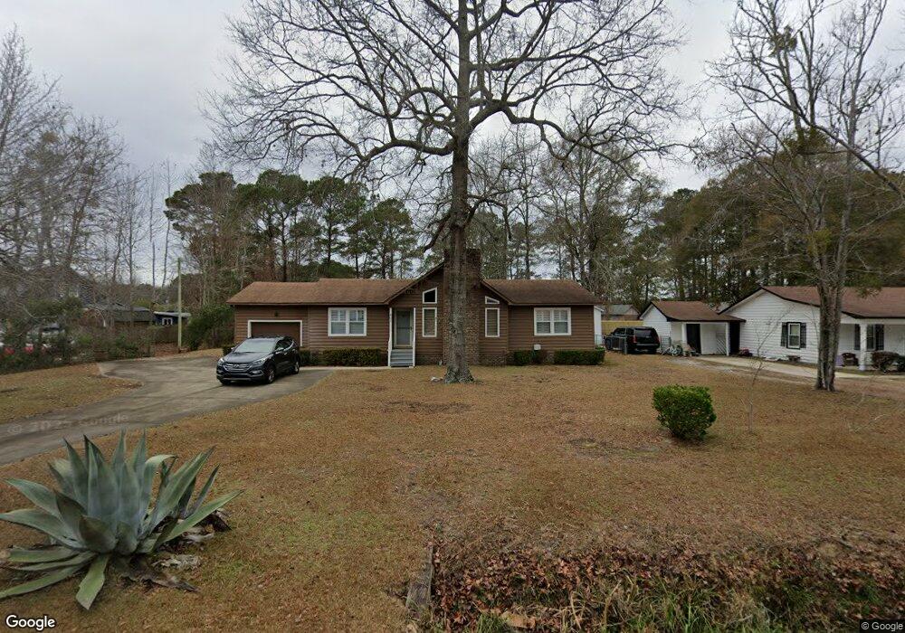
601 Luttie Rd Unit MB Myrtle Beach, SC 29588
Estimated Value: $256,320 - $322,000
3
Beds
2
Baths
1,455
Sq Ft
$196/Sq Ft
Est. Value
About This Home
This home is located at 601 Luttie Rd Unit MB, Myrtle Beach, SC 29588 and is currently estimated at $285,580, approximately $196 per square foot. 601 Luttie Rd Unit MB is a home located in Horry County with nearby schools including Socastee Elementary School, Forestbrook Middle School, and Socastee High School.
Ownership History
Date
Name
Owned For
Owner Type
Purchase Details
Closed on
Dec 2, 2003
Sold by
Briggs Elizabeth I
Bought by
Briggs Michael A
Current Estimated Value
Purchase Details
Closed on
Sep 16, 2002
Sold by
First Strike Mgmt Consulting I
Bought by
Briggs Michael A and Briggs Elizabeth I
Home Financials for this Owner
Home Financials are based on the most recent Mortgage that was taken out on this home.
Original Mortgage
$73,500
Outstanding Balance
$29,415
Interest Rate
6.19%
Mortgage Type
Purchase Money Mortgage
Estimated Equity
$256,165
Create a Home Valuation Report for This Property
The Home Valuation Report is an in-depth analysis detailing your home's value as well as a comparison with similar homes in the area
Home Values in the Area
Average Home Value in this Area
Purchase History
| Date | Buyer | Sale Price | Title Company |
|---|---|---|---|
| Briggs Michael A | $87,500 | -- | |
| Briggs Michael A | $103,500 | -- |
Source: Public Records
Mortgage History
| Date | Status | Borrower | Loan Amount |
|---|---|---|---|
| Open | Briggs Michael A | $73,500 |
Source: Public Records
Tax History
| Year | Tax Paid | Tax Assessment Tax Assessment Total Assessment is a certain percentage of the fair market value that is determined by local assessors to be the total taxable value of land and additions on the property. | Land | Improvement |
|---|---|---|---|---|
| 2025 | -- | $0 | $0 | $0 |
| 2024 | -- | $8,231 | $2,800 | $5,431 |
| 2023 | $0 | $5,089 | $1,209 | $3,880 |
| 2021 | $571 | $5,673 | $1,209 | $4,464 |
| 2020 | $487 | $5,673 | $1,209 | $4,464 |
| 2019 | $487 | $5,673 | $1,209 | $4,464 |
| 2018 | $441 | $4,425 | $1,053 | $3,372 |
| 2017 | $0 | $4,425 | $1,053 | $3,372 |
| 2016 | $0 | $4,425 | $1,053 | $3,372 |
| 2015 | -- | $4,425 | $1,053 | $3,372 |
| 2014 | $402 | $4,425 | $1,053 | $3,372 |
Source: Public Records
Map
Nearby Homes
- 525 Sims Dr Unit MB
- 101 Horizon River Dr Unit H8
- 708 Luttie Rd
- 111 Horizon River Dr Unit F-8
- 1412 Reid Ct
- 4101 John Luther Rd
- 202 Luttie Rd
- 721 Luttie Rd
- 607 Geddings Dr
- TBD W Oak Circle Dr
- 245 Colby Ct
- 188 Governors Loop
- 244 Colby Ct
- 240 Foxpath Loop
- 811 Luttie Rd
- 622 River Bend Rd
- 353 Worthington Cir
- 525 Folly Estates Dr
- 252 Stonebrook Dr
- 510 Folly Estates Dr
- 603 Luttie Rd
- 506 Sims Dr
- 506 Sims Dr Unit Watsons Riverside; L
- 505 Luttie Rd
- 504 Sims Dr
- 605 Luttie Rd
- 508 Sims Dr Unit Watsons Riverside
- 508 Sims Dr
- 503 Luttie Rd
- 504 Luttie Rd
- 510 Sims Dr
- 502 Sims Dr
- 604 Luttie Rd
- 512 Sims Dr
- 607 Luttie Rd
- 603 Mammie Dr
- 502 Luttie Rd
- 501 Luttie Rd
- 120 Governors Loop
- 514 Sims Dr
Your Personal Tour Guide
Ask me questions while you tour the home.