6016 Poplar Ct Bellvue, CO 80512
Estimated Value: $488,731 - $632,000
3
Beds
2
Baths
1,361
Sq Ft
$401/Sq Ft
Est. Value
About This Home
This home is located at 6016 Poplar Ct, Bellvue, CO 80512 and is currently estimated at $545,433, approximately $400 per square foot. 6016 Poplar Ct is a home located in Larimer County with nearby schools including Cache La Poudre Elementary School, Cache La Poudre Middle School, and Poudre High School.
Ownership History
Date
Name
Owned For
Owner Type
Purchase Details
Closed on
Jul 10, 2017
Sold by
Caddis Karen M
Bought by
Spawn Craig K and Spawn Josephina
Current Estimated Value
Home Financials for this Owner
Home Financials are based on the most recent Mortgage that was taken out on this home.
Original Mortgage
$270,400
Outstanding Balance
$225,026
Interest Rate
3.95%
Mortgage Type
New Conventional
Estimated Equity
$320,407
Purchase Details
Closed on
Oct 20, 2003
Sold by
Burrell Michael B and Caddis Burrell Karen M
Bought by
Caddis Karen M
Home Financials for this Owner
Home Financials are based on the most recent Mortgage that was taken out on this home.
Original Mortgage
$145,000
Interest Rate
6.1%
Mortgage Type
Purchase Money Mortgage
Purchase Details
Closed on
Sep 1, 1991
Bought by
Burrell Michael B
Create a Home Valuation Report for This Property
The Home Valuation Report is an in-depth analysis detailing your home's value as well as a comparison with similar homes in the area
Purchase History
| Date | Buyer | Sale Price | Title Company |
|---|---|---|---|
| Spawn Craig K | $338,000 | Land Title Guarantee Company | |
| Caddis Karen M | -- | -- | |
| Burrell Michael B | $67,500 | -- |
Source: Public Records
Mortgage History
| Date | Status | Borrower | Loan Amount |
|---|---|---|---|
| Open | Spawn Craig K | $270,400 | |
| Previous Owner | Caddis Karen M | $145,000 |
Source: Public Records
Tax History
| Year | Tax Paid | Tax Assessment Tax Assessment Total Assessment is a certain percentage of the fair market value that is determined by local assessors to be the total taxable value of land and additions on the property. | Land | Improvement |
|---|---|---|---|---|
| 2025 | $3,017 | $32,000 | $7,500 | $24,500 |
| 2024 | $2,873 | $34,726 | $8,040 | $26,686 |
| 2022 | $2,455 | $25,715 | $5,004 | $20,711 |
| 2021 | $2,476 | $26,455 | $5,148 | $21,307 |
| 2020 | $2,396 | $25,383 | $5,148 | $20,235 |
| 2019 | $2,407 | $25,383 | $5,148 | $20,235 |
| 2018 | $1,828 | $19,879 | $2,520 | $17,359 |
| 2017 | $1,821 | $19,879 | $2,520 | $17,359 |
| 2016 | $1,644 | $17,854 | $2,786 | $15,068 |
| 2015 | $1,632 | $17,860 | $2,790 | $15,070 |
| 2014 | $1,390 | $15,110 | $2,790 | $12,320 |
Source: Public Records
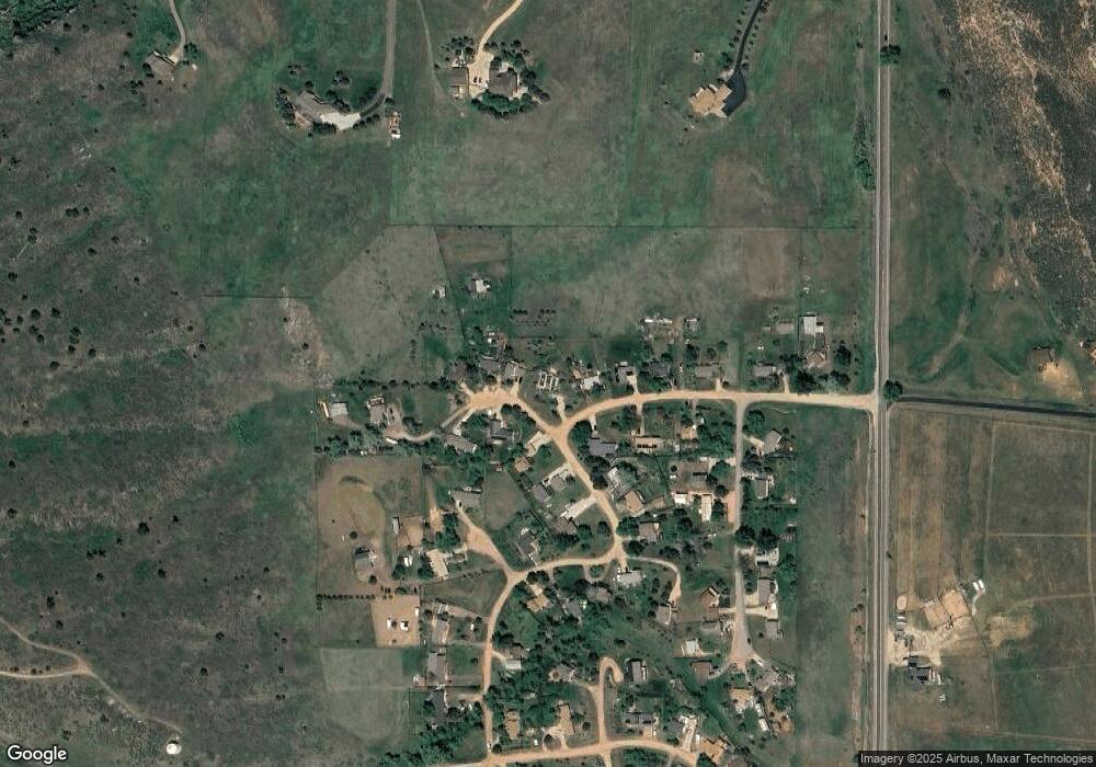
Map
Nearby Homes
- 6508 Jackpine Dr
- 801 Hernia Hill Trail
- 100 Canyon Gulch Rd
- 898 Hernia Hill Trail
- 813 Hernia Hill Trail
- 654 Hernia Hill Trail
- 498 Helms Deep Rd
- 4516 Bingham Hill Rd
- 1600 Whale Rock Rd
- 16132 Steller Ridge Rd
- 9316 Tawny Lynx Rd
- 296 Ridge Row Dr
- 2912 Killarney Dr
- 2912 Lochlomond Dr
- 3501 Galway Dr
- 3328 Mcconnell Dr
- 3501 Raptor Ridge Ln
- 2518 Whale Rock Rd
- 518 N Overland Trail
- 3000 Marion St
- 6020 Poplar Ct
- 5912 Birch Dr
- 6024 Poplar Ct
- 6013 Poplar Ct
- 5909 Birch Dr
- 6009 Poplar St
- 6025 Poplar Ct
- 5908 Birch Dr
- 6017 Poplar Ct
- 5905 Birch Dr
- 6005 Poplar St
- 6008 Poplar St
- 5904 Birch Dr
- 816 Butternut Ct
- 6001 Poplar St
- 6004 Poplar St
- 808 Butternut Ct
- 809 White Pine Dr
- 5901 Birch Dr
- 817 Butternut Ct
Your Personal Tour Guide
Ask me questions while you tour the home.