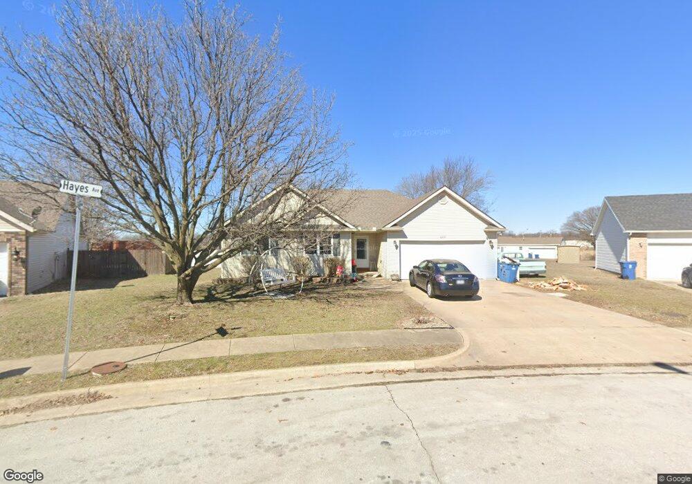
602 Hayes Ave Carl Junction, MO 64834
Estimated Value: $286,000 - $301,000
3
Beds
2
Baths
2,029
Sq Ft
$144/Sq Ft
Est. Value
About This Home
This home is located at 602 Hayes Ave, Carl Junction, MO 64834 and is currently estimated at $292,653, approximately $144 per square foot. 602 Hayes Ave is a home located in Jasper County with nearby schools including Carl Junction Primary School (K-1), Carl Junction Intermediate School, and Carl Junction Primary School (2-3).
Ownership History
Date
Name
Owned For
Owner Type
Purchase Details
Closed on
Apr 17, 2013
Sold by
Coats Robert A and Coats Jackie A
Bought by
Szura Amy
Current Estimated Value
Home Financials for this Owner
Home Financials are based on the most recent Mortgage that was taken out on this home.
Original Mortgage
$139,795
Outstanding Balance
$98,694
Interest Rate
3.55%
Mortgage Type
New Conventional
Estimated Equity
$193,959
Create a Home Valuation Report for This Property
The Home Valuation Report is an in-depth analysis detailing your home's value as well as a comparison with similar homes in the area
Purchase History
| Date | Buyer | Sale Price | Title Company |
|---|---|---|---|
| Szura Amy | -- | None Available |
Source: Public Records
Mortgage History
| Date | Status | Borrower | Loan Amount |
|---|---|---|---|
| Open | Szura Amy | $139,795 |
Source: Public Records
Tax History
| Year | Tax Paid | Tax Assessment Tax Assessment Total Assessment is a certain percentage of the fair market value that is determined by local assessors to be the total taxable value of land and additions on the property. | Land | Improvement |
|---|---|---|---|---|
| 2025 | $1,591 | $29,320 | $2,620 | $26,700 |
| 2024 | $1,601 | $27,190 | $2,620 | $24,570 |
| 2023 | $1,601 | $27,190 | $2,620 | $24,570 |
| 2022 | $1,626 | $27,550 | $2,620 | $24,930 |
| 2021 | $1,395 | $27,550 | $2,620 | $24,930 |
| 2020 | $1,279 | $24,830 | $2,620 | $22,210 |
| 2019 | $1,214 | $24,830 | $2,620 | $22,210 |
| 2018 | $1,337 | $27,390 | $0 | $0 |
| 2017 | $1,340 | $27,390 | $0 | $0 |
| 2016 | $1,254 | $25,880 | $0 | $0 |
Source: Public Records
Map
Nearby Homes
- 501 W Walton Ave
- 409 W Walton Ave
- 406 W Walton Ave
- 503 S Main St
- 817 Delaney Dr
- 711 Prairie Ln
- xxx Prairie Ln
- 809 Aberdeen Ave
- 901 Aberdeen Ave
- 608 Valley View St
- 618 Valley View
- 623 Valley View
- 904 Larson St
- TBD Temple St
- 720 Sheridan Ave
- 900 Aberdeen Ave
- 804 Aberdeen Ave
- 806 Aberdeen Ave
- 805 Aberdeen Ave
- 808 Aberdeen Ave
Your Personal Tour Guide
Ask me questions while you tour the home.