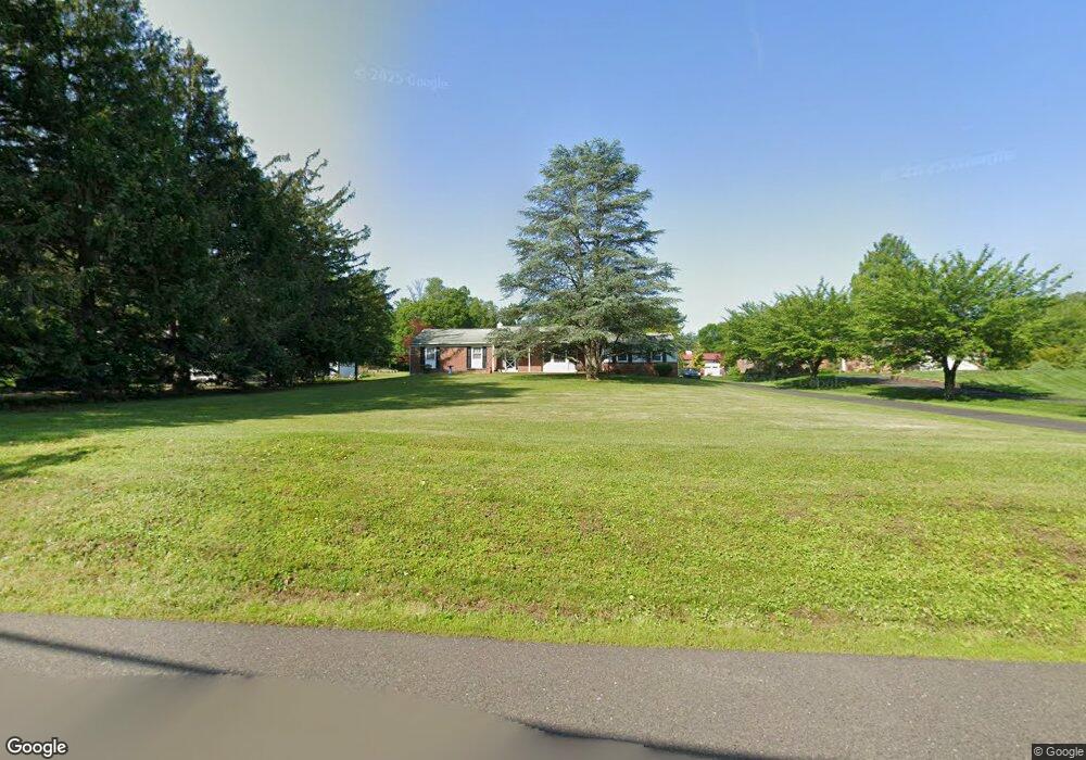
602 Mann Rd Horsham, PA 19044
Estimated Value: $451,000 - $563,000
3
Beds
2
Baths
1,586
Sq Ft
$311/Sq Ft
Est. Value
About This Home
This home is located at 602 Mann Rd, Horsham, PA 19044 and is currently estimated at $493,583, approximately $311 per square foot. 602 Mann Rd is a home located in Montgomery County with nearby schools including Simmons Elementary School, Keith Valley Middle School, and Hatboro-Horsham Senior High School.
Ownership History
Date
Name
Owned For
Owner Type
Purchase Details
Closed on
Jan 19, 2022
Sold by
Raymond Oneill Jr Daniel
Bought by
Oneill Daniel
Current Estimated Value
Home Financials for this Owner
Home Financials are based on the most recent Mortgage that was taken out on this home.
Original Mortgage
$306,500
Outstanding Balance
$284,066
Interest Rate
3.55%
Mortgage Type
New Conventional
Estimated Equity
$209,517
Purchase Details
Closed on
Feb 9, 2018
Sold by
Rossbauer Barbara
Bought by
Oneill Daniel Raymond and Carbohn Ashley
Home Financials for this Owner
Home Financials are based on the most recent Mortgage that was taken out on this home.
Original Mortgage
$217,600
Interest Rate
3.99%
Mortgage Type
New Conventional
Purchase Details
Closed on
Apr 1, 2000
Sold by
Melvin Marie
Bought by
Rossbauer Barbara
Create a Home Valuation Report for This Property
The Home Valuation Report is an in-depth analysis detailing your home's value as well as a comparison with similar homes in the area
Home Values in the Area
Average Home Value in this Area
Purchase History
| Date | Buyer | Sale Price | Title Company |
|---|---|---|---|
| Oneill Daniel | $3,479 | Fidelity National Title | |
| Oneill Daniel Raymond | $272,000 | -- | |
| Rossbauer Barbara | -- | -- |
Source: Public Records
Mortgage History
| Date | Status | Borrower | Loan Amount |
|---|---|---|---|
| Open | Oneill Daniel | $306,500 | |
| Previous Owner | Oneill Daniel Raymond | $217,600 |
Source: Public Records
Tax History
| Year | Tax Paid | Tax Assessment Tax Assessment Total Assessment is a certain percentage of the fair market value that is determined by local assessors to be the total taxable value of land and additions on the property. | Land | Improvement |
|---|---|---|---|---|
| 2025 | $7,004 | $178,200 | $73,640 | $104,560 |
| 2024 | $7,004 | $178,200 | $73,640 | $104,560 |
| 2023 | $6,668 | $178,200 | $73,640 | $104,560 |
| 2022 | $6,452 | $178,200 | $73,640 | $104,560 |
| 2021 | $6,299 | $178,200 | $73,640 | $104,560 |
| 2020 | $6,150 | $178,200 | $73,640 | $104,560 |
| 2019 | $6,032 | $178,200 | $73,640 | $104,560 |
Source: Public Records
Map
Nearby Homes
- 111 Sarahs Ln
- 41 Bark Hollow Ln
- 52 Dogwood Ln Unit D-9
- 26 Brookside Ct Unit 26
- 1867 Fort Washington Ave
- 650 Maple Glen Cir
- 34 Brookside Ct
- 103 Cobblestone Cir
- 337 Green Meadow Ln
- 894 Herman Rd
- Lot 53 Bryce Dr
- Lot 51 Denali Dr
- Lot 53 Denali Dr
- 814 Denali Dr
- Lot 43 Emory Ct
- Lot 42 Emory Ct
- 818 Denali Dr
- Lot 44 Emory Ct
- Lot 45 Emory Ct
- Lot 47 Bryce Dr
Your Personal Tour Guide
Ask me questions while you tour the home.