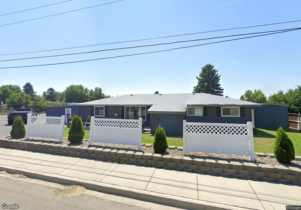
602 W Patrick Ave Kittitas, WA 98934
Estimated Value: $304,000 - $406,000
3
Beds
1
Bath
1,617
Sq Ft
$219/Sq Ft
Est. Value
About This Home
This home is located at 602 W Patrick Ave, Kittitas, WA 98934 and is currently estimated at $353,780, approximately $218 per square foot. 602 W Patrick Ave is a home with nearby schools including Kittitas Elementary School and Kittitas High School.
Ownership History
Date
Name
Owned For
Owner Type
Purchase Details
Closed on
Sep 6, 2017
Sold by
Stingley Russell D
Bought by
Larimer Kathleen M
Current Estimated Value
Home Financials for this Owner
Home Financials are based on the most recent Mortgage that was taken out on this home.
Original Mortgage
$151,515
Outstanding Balance
$126,628
Interest Rate
3.93%
Mortgage Type
New Conventional
Estimated Equity
$227,152
Create a Home Valuation Report for This Property
The Home Valuation Report is an in-depth analysis detailing your home's value as well as a comparison with similar homes in the area
Purchase History
| Date | Buyer | Sale Price | Title Company |
|---|---|---|---|
| Larimer Kathleen M | $128,933 | None Available |
Source: Public Records
Mortgage History
| Date | Status | Borrower | Loan Amount |
|---|---|---|---|
| Open | Larimer Kathleen M | $151,515 |
Source: Public Records
Tax History
| Year | Tax Paid | Tax Assessment Tax Assessment Total Assessment is a certain percentage of the fair market value that is determined by local assessors to be the total taxable value of land and additions on the property. | Land | Improvement |
|---|---|---|---|---|
| 2025 | $160 | $279,590 | $67,490 | $212,100 |
| 2023 | $2,506 | $241,490 | $54,930 | $186,560 |
| 2022 | $2,279 | $227,030 | $46,310 | $180,720 |
| 2021 | $2,140 | $201,330 | $46,310 | $155,020 |
| 2019 | $1,678 | $157,130 | $24,650 | $132,480 |
| 2018 | $1,553 | $153,600 | $24,650 | $128,950 |
| 2017 | $1,498 | $153,600 | $24,650 | $128,950 |
| 2016 | $1,423 | $148,990 | $27,360 | $121,630 |
| 2015 | $1,438 | $148,990 | $27,360 | $121,630 |
| 2013 | -- | $148,990 | $27,360 | $121,630 |
Source: Public Records
Map
Nearby Homes
- 1540 Fairview Rd
- 105 E Patrick Ave Unit 2
- 335 Pacific Loop
- 1231 Clerf Rd
- 1171 Cleman Rd
- 2600 Watson Rd
- 2416 Clerf Rd
- 2 XX Lyons Rd
- 861 Lyons Rd
- 3 xx Lyons Rd
- 0 Mccullough Rd
- 5 xx Rein Rd
- 1 XX Fairview Rd
- 583 Rein Rd
- 1350 Number 6 Rd
- 370 Wilson Creek Rd
- 2623 Vantage Hwy
- 361 Cascadia Ln
- 2005 E 1st Ave
- 1160 Lester Rd
Your Personal Tour Guide
Ask me questions while you tour the home.