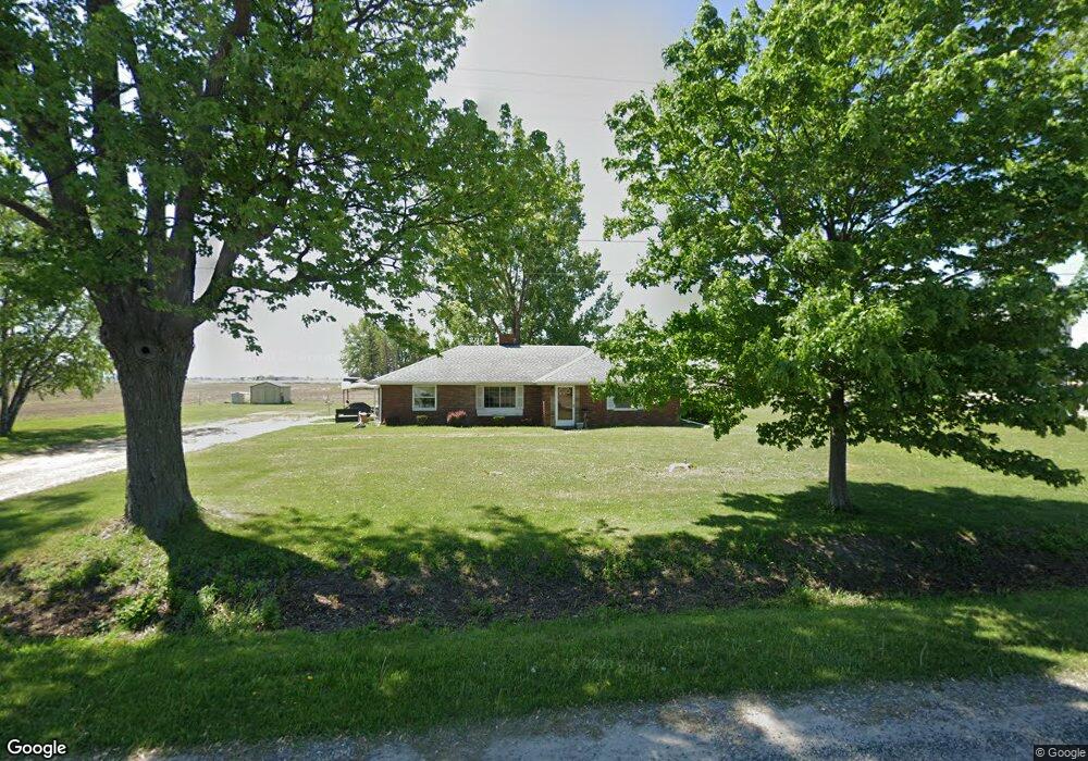
6020 Hack Rd Saginaw, MI 48601
Robin Glen-Indiantown NeighborhoodEstimated Value: $126,362 - $230,000
Studio
--
Bath
1,392
Sq Ft
$123/Sq Ft
Est. Value
About This Home
This home is located at 6020 Hack Rd, Saginaw, MI 48601 and is currently estimated at $171,841, approximately $123 per square foot. 6020 Hack Rd is a home located in Saginaw County with nearby schools including Reese Elementary School, Reese Middle School, and Reese High School.
Ownership History
Date
Name
Owned For
Owner Type
Purchase Details
Closed on
Sep 19, 2006
Sold by
Fassone Bryon P
Bought by
Fassone Christa Mayme
Current Estimated Value
Purchase Details
Closed on
Dec 21, 2004
Home Financials for this Owner
Home Financials are based on the most recent Mortgage that was taken out on this home.
Original Mortgage
$61,042
Interest Rate
5.78%
Mortgage Type
FHA
Purchase Details
Closed on
May 25, 2001
Sold by
Deisig Jack M and Deisig Norma S
Bought by
Shapland Margaret
Create a Home Valuation Report for This Property
The Home Valuation Report is an in-depth analysis detailing your home's value as well as a comparison with similar homes in the area
Home Values in the Area
Average Home Value in this Area
Purchase History
| Date | Buyer | Sale Price | Title Company |
|---|---|---|---|
| Fassone Christa Mayme | -- | -- | |
| -- | $62,000 | -- | |
| Fassone Bryon P | $62,000 | Ltic | |
| Shapland Margaret | $44,000 | -- |
Source: Public Records
Mortgage History
| Date | Status | Borrower | Loan Amount |
|---|---|---|---|
| Previous Owner | Fassone Bryon P | $61,042 |
Source: Public Records
Tax History
| Year | Tax Paid | Tax Assessment Tax Assessment Total Assessment is a certain percentage of the fair market value that is determined by local assessors to be the total taxable value of land and additions on the property. | Land | Improvement |
|---|---|---|---|---|
| 2025 | $420 | $55,900 | $0 | $0 |
| 2024 | $408 | $47,900 | $0 | $0 |
| 2023 | $388 | $41,500 | $0 | $0 |
| 2022 | $2,302 | $36,800 | $0 | $0 |
| 2021 | $2,224 | $33,500 | $0 | $0 |
| 2020 | $2,189 | $33,500 | $0 | $0 |
| 2019 | $2,127 | $33,200 | $8,800 | $24,400 |
| 2018 | $339 | $33,500 | $0 | $0 |
| 2017 | $1,985 | $33,200 | $0 | $0 |
| 2016 | $1,958 | $31,100 | $0 | $0 |
| 2014 | -- | $31,200 | $0 | $22,400 |
| 2013 | -- | $30,500 | $0 | $0 |
Source: Public Records
Map
Nearby Homes
- 6050 Wadsworth Rd
- 3705 N Beyer Rd
- 4145 Janes Rd
- 1921 Wartenburg Rd
- 1905 Wartenburg Rd
- 1913 Wartenburg Rd
- 3810 Janes Rd
- 3730 Janes Rd
- 2239 S Tuscola Rd
- 623 N 23rd St
- 0 W Munger Rd
- 996 Athens St
- 116 N 24th St
- 206 S 25th St
- 612 S 31st St
- 2422 Snelling Place
- 523 S 28th St
- 310 S Franklin St
- 115 N Jefferson St
- 2604 Lapeer Ave
- 6105 Hack Rd
- 3955 N Portsmouth Rd
- 4040 N Portsmouth Rd
- 6115 Hack Rd
- 3910 N Portsmouth Rd
- 6125 Hack Rd
- 6135 Hack Rd
- 4110 N Portsmouth Rd
- 4095 N Portsmouth Rd
- 6195 Hack Rd
- 6170 Hack Rd
- 5870 Indiantown Rd
- 4120 N Portsmouth Rd
- 6235 Hack Rd
- 4130 N Portsmouth Rd
- 6255 Hack Rd
- 4150 N Portsmouth Rd
- 4200 N Portsmouth Rd
- 4210 N Portsmouth Rd
- 4217 N Portsmouth Rd
Your Personal Tour Guide
Ask me questions while you tour the home.