60201 E 185 Rd Fairland, OK 74343
Estimated Value: $96,000 - $170,000
3
Beds
2
Baths
1,376
Sq Ft
$97/Sq Ft
Est. Value
About This Home
This home is located at 60201 E 185 Rd, Fairland, OK 74343 and is currently estimated at $133,947, approximately $97 per square foot. 60201 E 185 Rd is a home located in Ottawa County with nearby schools including Fairland Elementary School and Fairland High School.
Ownership History
Date
Name
Owned For
Owner Type
Purchase Details
Closed on
Jan 26, 2023
Sold by
Earls Russell A and Earls Sandra K
Bought by
Stone Hedge Llc
Current Estimated Value
Purchase Details
Closed on
Jan 17, 2017
Sold by
Selsor Roger and Selsor Willa D
Bought by
Nichols Jeremy H and Nichols Allysa
Home Financials for this Owner
Home Financials are based on the most recent Mortgage that was taken out on this home.
Original Mortgage
$51,300
Interest Rate
4.13%
Mortgage Type
New Conventional
Purchase Details
Closed on
Feb 16, 2006
Sold by
Hart John M and Ellis Juanice L
Bought by
Hart John M
Home Financials for this Owner
Home Financials are based on the most recent Mortgage that was taken out on this home.
Original Mortgage
$80,370
Interest Rate
6.05%
Mortgage Type
Purchase Money Mortgage
Purchase Details
Closed on
Dec 22, 1999
Bought by
Hart John M
Purchase Details
Closed on
Sep 11, 1997
Bought by
Ramer David L and Ramer Twila
Create a Home Valuation Report for This Property
The Home Valuation Report is an in-depth analysis detailing your home's value as well as a comparison with similar homes in the area
Purchase History
| Date | Buyer | Sale Price | Title Company |
|---|---|---|---|
| Stone Hedge Llc | -- | -- | |
| Nichols Jeremy H | $54,000 | None Available | |
| Hart John M | -- | Nations Title | |
| Hart John M | $61,000 | -- | |
| Ramer David L | $72,000 | -- |
Source: Public Records
Mortgage History
| Date | Status | Borrower | Loan Amount |
|---|---|---|---|
| Previous Owner | Nichols Jeremy H | $51,300 | |
| Previous Owner | Hart John M | $80,370 |
Source: Public Records
Tax History
| Year | Tax Paid | Tax Assessment Tax Assessment Total Assessment is a certain percentage of the fair market value that is determined by local assessors to be the total taxable value of land and additions on the property. | Land | Improvement |
|---|---|---|---|---|
| 2025 | $582 | $6,787 | $1,425 | $5,362 |
| 2024 | $555 | $6,463 | $1,425 | $5,038 |
| 2023 | $555 | $6,156 | $1,425 | $4,731 |
| 2022 | $555 | $6,156 | $1,425 | $4,731 |
| 2021 | $529 | $6,156 | $1,425 | $4,731 |
| 2020 | $489 | $6,156 | $1,425 | $4,731 |
| 2019 | $496 | $6,156 | $1,425 | $4,731 |
| 2018 | $501 | $6,156 | $1,425 | $4,731 |
| 2017 | $640 | $7,813 | $1,425 | $6,388 |
| 2016 | $641 | $7,746 | $903 | $6,843 |
| 2015 | $539 | $6,954 | $595 | $6,359 |
| 2014 | $548 | $7,521 | $644 | $6,877 |
Source: Public Records
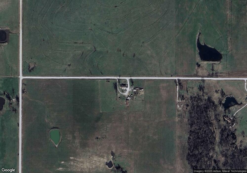
Map
Nearby Homes
- 19510 S 605 Rd
- 61215 E 194 Rd
- 60750 E 200 Rd
- 59300 E 170 Rd
- 301 E Church Ave
- 0 E 180 Rd
- 206 E Conner Ave
- 18900 S 630 Rd
- 16 E Church Ave
- 13 Quannah Dr
- 107 S Collins St
- 303 W Market Ave
- 20750 S 580 Rd
- 0 W Conner Ave
- 00000 Oklahoma 125
- 22601 Oklahoma 125
- 17270 S 630 Rd
- 344 Stauffer St
- 3 N Elm St
- 704 W Conner Ave
- 60521 E 190 Rd
- 60701 E 185 Rd
- 60400 E 190 Rd
- 17500 S 600 Rd
- 60500 E 190 Rd
- 60401 E 190 Rd
- 0 S 600 Rd
- 60615 E 190 Rd
- 18601 S 610 Rd
- 60800 E 190 Rd
- 60901 E 185 Rd
- 19201 S 604 Rd
- 60925 E 190 Rd
- 18250 S 610 Rd
- 60992 E 190 Rd
- 61601 E 180 Rd
- 0 S 610 Rd Unit 24-1130
- 0 S 610 Rd Unit 24-1129
- 19500 S 605 Rd
- 60205 E 190 Rd
Your Personal Tour Guide
Ask me questions while you tour the home.