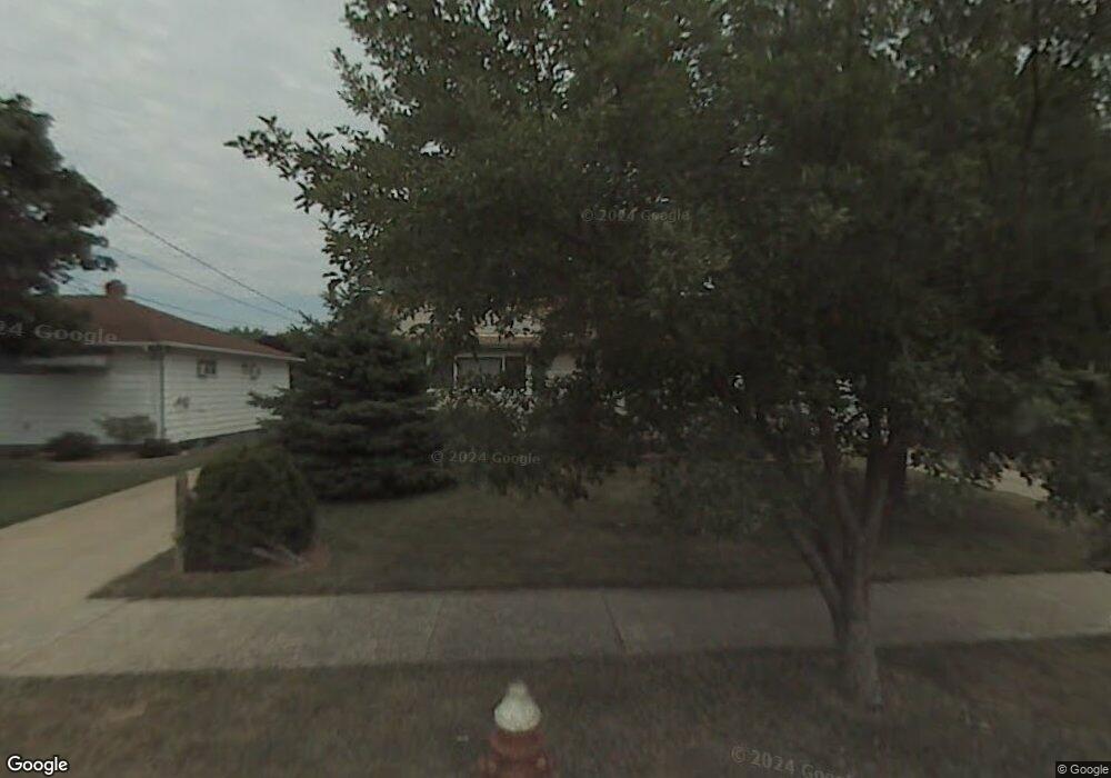
6023 Stark Dr Brookpark, OH 44142
Estimated Value: $212,926 - $240,000
About This Home
This home is located at 6023 Stark Dr, Brookpark, OH 44142 and is currently estimated at $226,482, approximately $241 per square foot. 6023 Stark Dr is a home located in Cuyahoga County with nearby schools including Berea-Midpark Middle School, Berea-Midpark High School, and Huber Heights Preparatory Academy Parma Academy.
Ownership History
We collect this data history from publicly available records. To have your information removed, we recommend requesting removal directly through your county’s website.
Purchase Details
Home Financials for this Owner
Home Financials are based on the most recent Mortgage that was taken out on this home.Purchase Details
Purchase Details
Purchase Details
Purchase Details
Home Values in the Area
Average Home Value in this Area
Purchase History
We collect this data history from publicly available records. To have your information removed, we recommend requesting removal directly through your county’s website.
| Date | Buyer | Sale Price | Title Company |
|---|---|---|---|
| $108,900 | Attorney | ||
| -- | -- | ||
| -- | -- | ||
| -- | -- | ||
| $42,500 | -- | ||
| -- | -- |
Mortgage History
We collect this data history from publicly available records. To have your information removed, we recommend requesting removal directly through your county’s website.
| Date | Status | Borrower | Loan Amount |
|---|---|---|---|
| Open | $106,100 |
Tax History
We collect this data history from publicly available records. To have your information removed, we recommend requesting removal directly through your county’s website.
| Year | Tax Paid | Tax Assessment Tax Assessment Total Assessment is a certain percentage of the fair market value that is determined by local assessors to be the total taxable value of land and additions on the property. | Land | Improvement |
|---|---|---|---|---|
| 2025 | $2,734 | $54,530 | $12,425 | $42,105 |
| 2024 | $2,751 | $54,530 | $12,425 | $42,105 |
| 2023 | $2,784 | $45,710 | $9,030 | $36,680 |
| 2022 | $2,765 | $45,710 | $9,030 | $36,680 |
| 2021 | $2,748 | $45,710 | $9,030 | $36,680 |
| 2020 | $2,480 | $36,300 | $7,180 | $29,120 |
| 2019 | $2,406 | $103,700 | $20,500 | $83,200 |
| 2018 | $2,304 | $36,300 | $7,180 | $29,120 |
| 2017 | $2,396 | $33,530 | $6,720 | $26,810 |
| 2016 | $2,376 | $33,530 | $6,720 | $26,810 |
| 2015 | $2,230 | $33,530 | $6,720 | $26,810 |
| 2014 | $2,230 | $33,530 | $6,720 | $26,810 |
Map
- 6115 Morrow Dr
- 5884 Michael Dr
- 14316 Parkman Blvd
- 14306 Parkman Blvd
- 5653 Gateway Ln Unit C303
- 5882 Middlebrook Blvd
- 15460 Rademaker Dr
- 15424 Holland Rd
- 13665 Starlite Dr
- 15497 Hummel Rd
- 6379 Edgehurst Dr
- 6377 Ledgebrook Dr
- 6447 Sandfield Dr
- 5263 W 148th St
- 5240 W 147th St
- 5230 W 147th St
- 6252 Anita Dr
- 5178 W 151st St
- 15450 Roxboro Dr
- 13467 Belfair Dr
- 6016 Morrow Dr
- 6022 Morrow Dr
- 14603 Fayette Blvd
- 14595 Fayette Blvd
- 14621 Fayette Blvd
- 6028 Morrow Dr
- 14639 Fayette Blvd
- 6034 Morrow Dr
- 6017 Stark Dr
- 14657 Fayette Blvd
- 14563 Fayette Blvd
- 6029 Stark Dr
- 6017 Morrow Dr
- 6040 Morrow Dr
- 6023 Morrow Dr
- 6035 Stark Dr
- 14679 Fayette Blvd
- 6029 Morrow Dr
- 14545 Fayette Blvd
- 6035 Morrow Dr
Ask me questions while you tour the home.