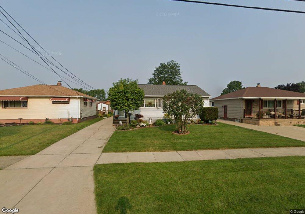
6028 Michael Dr Brookpark, OH 44142
Brook Park AreaEstimated Value: $208,000 - $231,000
About This Home
This home is located at 6028 Michael Dr, Brookpark, OH 44142 and is currently estimated at $214,844, approximately $180 per square foot. 6028 Michael Dr is a home located in Cuyahoga County with nearby schools including Berea-Midpark Middle School, Berea-Midpark High School, and Huber Heights Preparatory Academy Parma Academy.
Ownership History
We collect this data history from publicly available records. To have your information removed, we recommend requesting removal directly through your county’s website.
Purchase Details
Home Financials for this Owner
Home Financials are based on the most recent Mortgage that was taken out on this home.Purchase Details
Home Values in the Area
Average Home Value in this Area
Purchase History
We collect this data history from publicly available records. To have your information removed, we recommend requesting removal directly through your county’s website.
| Date | Buyer | Sale Price | Title Company |
|---|---|---|---|
| -- | Mortgage Information Service | ||
| -- | -- |
Mortgage History
We collect this data history from publicly available records. To have your information removed, we recommend requesting removal directly through your county’s website.
| Date | Status | Borrower | Loan Amount |
|---|---|---|---|
| Previous Owner | $84,800 | ||
| Previous Owner | $96,600 | ||
| Previous Owner | $50,000 | ||
| Previous Owner | $40,000 | ||
| Previous Owner | $25,000 | ||
| Previous Owner | $25,000 | ||
| Previous Owner | $10,000 |
Tax History
We collect this data history from publicly available records. To have your information removed, we recommend requesting removal directly through your county’s website.
| Year | Tax Paid | Tax Assessment Tax Assessment Total Assessment is a certain percentage of the fair market value that is determined by local assessors to be the total taxable value of land and additions on the property. | Land | Improvement |
|---|---|---|---|---|
| 2025 | $2,532 | $60,655 | $12,215 | $48,440 |
| 2024 | $2,565 | $60,655 | $12,215 | $48,440 |
| 2023 | $2,245 | $46,030 | $9,350 | $36,680 |
| 2022 | $2,255 | $46,030 | $9,350 | $36,680 |
| 2021 | $2,242 | $46,030 | $9,350 | $36,680 |
| 2020 | $1,898 | $36,540 | $7,420 | $29,120 |
| 2019 | $1,842 | $104,400 | $21,200 | $83,200 |
| 2018 | $1,695 | $36,540 | $7,420 | $29,120 |
| 2017 | $1,686 | $32,350 | $6,970 | $25,380 |
| 2016 | $1,672 | $32,350 | $6,970 | $25,380 |
| 2015 | $1,570 | $32,350 | $6,970 | $25,380 |
| 2014 | $1,570 | $32,350 | $6,970 | $25,380 |
Map
- 14291 Gallatin Blvd
- 14121 Donald Dr
- 13963 Havendale Dr
- 6176 Carol Dr
- 13605 Crestway Dr
- 6130 Smith Rd
- 13610 Starlite Dr
- 5763 Somerdale Ave
- 5716 Champaign Ave
- 5728 van Wert Ave
- 13495 Donald Dr
- 13548 Holland Rd
- 5818 Smith Rd
- 15460 Rademaker Dr
- 15424 Holland Rd
- 15624 Hocking Blvd
- 15541 Susan Dr
- 15500 Richard Dr
- 13901 Franklyn Blvd
- 6379 Edgehurst Dr
- 6047 Michael Dr
- 6053 Michael Dr
- 6041 Michael Dr
- 6059 Michael Dr
- 6035 Michael Dr
- 6052 Westbrook Dr
- 6056 Westbrook Dr
- 6029 Michael Dr
- 6063 Michael Dr
- 6032 Brook Ct
- 6034 Brook Ct
- 6048 Westbrook Dr
- 6058 Westbrook Dr
- 6062 Westbrook Dr
- 6023 Michael Dr
- 6044 Westbrook Dr
- 6069 Michael Dr
- 6046 Michael Dr
- 6052 Michael Dr
- 6040 Michael Dr
Ask me questions while you tour the home.