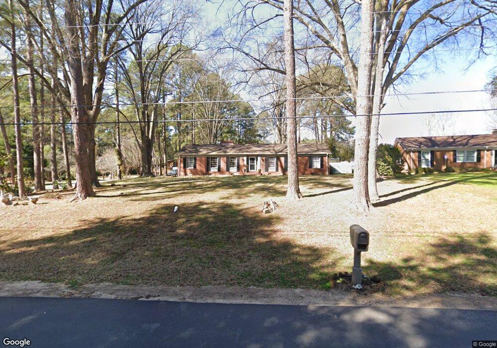
603 Mcleod Dr Sanford, NC 27330
Estimated Value: $304,287 - $327,000
4
Beds
2
Baths
1,927
Sq Ft
$162/Sq Ft
Est. Value
About This Home
This home is located at 603 Mcleod Dr, Sanford, NC 27330 and is currently estimated at $311,572, approximately $161 per square foot. 603 Mcleod Dr is a home located in Lee County with nearby schools including J.R. Ingram Jr. Elementary School, West Lee Middle School, and Lee County High School.
Ownership History
Date
Name
Owned For
Owner Type
Purchase Details
Closed on
Oct 15, 2010
Sold by
Chisolm Cynthia
Bought by
Navarro Linda and Navarro Ramirez Benjamin
Current Estimated Value
Home Financials for this Owner
Home Financials are based on the most recent Mortgage that was taken out on this home.
Original Mortgage
$98,671
Interest Rate
4.75%
Mortgage Type
FHA
Purchase Details
Closed on
Sep 21, 2001
Sold by
Wicker Jade W
Bought by
T L Stewart Builders Inc
Create a Home Valuation Report for This Property
The Home Valuation Report is an in-depth analysis detailing your home's value as well as a comparison with similar homes in the area
Home Values in the Area
Average Home Value in this Area
Purchase History
| Date | Buyer | Sale Price | Title Company |
|---|---|---|---|
| Navarro Linda | $100,000 | None Available | |
| T L Stewart Builders Inc | $145,000 | -- |
Source: Public Records
Mortgage History
| Date | Status | Borrower | Loan Amount |
|---|---|---|---|
| Previous Owner | Navarro Linda | $98,671 |
Source: Public Records
Tax History
| Year | Tax Paid | Tax Assessment Tax Assessment Total Assessment is a certain percentage of the fair market value that is determined by local assessors to be the total taxable value of land and additions on the property. | Land | Improvement |
|---|---|---|---|---|
| 2025 | $3,453 | $260,200 | $30,000 | $230,200 |
| 2024 | $3,433 | $260,200 | $30,000 | $230,200 |
| 2023 | $3,423 | $260,200 | $30,000 | $230,200 |
| 2022 | $2,449 | $157,700 | $27,500 | $130,200 |
| 2021 | $2,486 | $157,700 | $27,500 | $130,200 |
| 2020 | $2,478 | $157,700 | $27,500 | $130,200 |
| 2019 | $2,438 | $157,700 | $27,500 | $130,200 |
| 2018 | $2,523 | $162,400 | $30,000 | $132,400 |
| 2017 | $2,490 | $162,400 | $30,000 | $132,400 |
| 2016 | $2,465 | $162,400 | $30,000 | $132,400 |
| 2014 | $2,344 | $162,400 | $30,000 | $132,400 |
Source: Public Records
Map
Nearby Homes
- 0 Lot A Carbonton Rd
- 209 Arlington Cir
- 2400 Carbonton Rd
- 0 Sutphin Dr
- 0 Carbonton Rd Unit 100529193
- 0 Carbonton Rd Unit 749750
- 0 Carbonton Rd Unit 24371434
- 503 N Franklin Dr
- 1832 Sutphin Dr
- 217 Winterlocken Dr
- 1701 Portico Cir
- 2917 Condor St
- 2313 Weatherwood Ct
- 1609 Spring Ln
- 309 S Currie Dr
- 3022 Carrington Ln
- 2600 Taton Ct
- 822 Fitts St
- 113 Rosemont Ln
- 2043 Plantation Dr
- 607 Mcleod Dr
- 800 N Franklin Dr
- 521 Mcleod Dr
- 804 N Franklin Dr
- 2207 Colonial Dr
- 611 Mcleod Dr
- 2223 Cliffside Dr
- 518 Mcleod Dr
- 712 N Franklin Dr
- 615 Mcleod Dr
- 517 Mcleod Dr
- 812 N Franklin Dr
- 2217 Cliffside Dr
- 2222 Cliffside Dr
- 619 Mcleod Dr
- 816 N Franklin Dr
- 2216 Cliffside Dr
- 512 Mcleod Dr
- 511 Mcleod Dr
- 708 N Franklin Dr
Your Personal Tour Guide
Ask me questions while you tour the home.