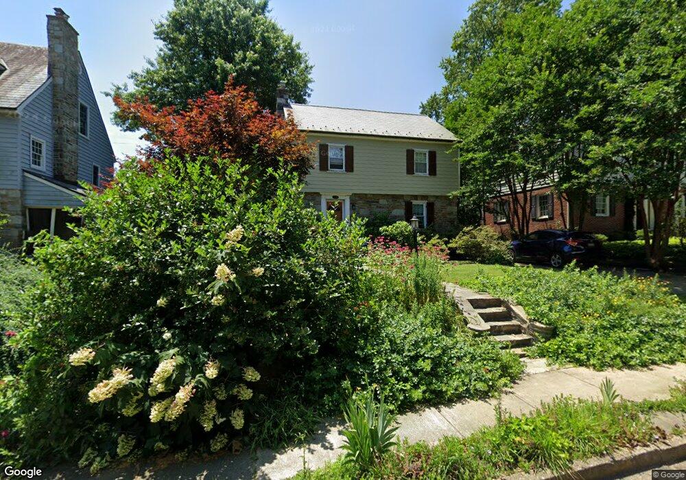
603 Wilton Rd Towson, MD 21286
Estimated Value: $502,000 - $712,000
Studio
2
Baths
1,408
Sq Ft
$425/Sq Ft
Est. Value
About This Home
This home is located at 603 Wilton Rd, Towson, MD 21286 and is currently estimated at $597,887, approximately $424 per square foot. 603 Wilton Rd is a home located in Baltimore County with nearby schools including Stoneleigh Elementary School, Dumbarton Middle School, and Towson High Law & Public Policy.
Ownership History
Date
Name
Owned For
Owner Type
Purchase Details
Closed on
Jun 10, 1994
Sold by
Malloy Patrick C
Bought by
Keller Glen A
Current Estimated Value
Home Financials for this Owner
Home Financials are based on the most recent Mortgage that was taken out on this home.
Original Mortgage
$114,500
Interest Rate
8.29%
Purchase Details
Closed on
Dec 22, 1989
Sold by
Williams Virginia M
Bought by
Malloy Patrick C
Create a Home Valuation Report for This Property
The Home Valuation Report is an in-depth analysis detailing your home's value as well as a comparison with similar homes in the area
Home Values in the Area
Average Home Value in this Area
Purchase History
| Date | Buyer | Sale Price | Title Company |
|---|---|---|---|
| Keller Glen A | $214,500 | -- | |
| Malloy Patrick C | $176,000 | -- |
Source: Public Records
Mortgage History
| Date | Status | Borrower | Loan Amount |
|---|---|---|---|
| Closed | Keller Glen A | $114,500 |
Source: Public Records
Tax History
| Year | Tax Paid | Tax Assessment Tax Assessment Total Assessment is a certain percentage of the fair market value that is determined by local assessors to be the total taxable value of land and additions on the property. | Land | Improvement |
|---|---|---|---|---|
| 2025 | $6,760 | $517,700 | $138,200 | $379,500 |
| 2024 | $6,760 | $491,733 | -- | -- |
| 2023 | $3,230 | $465,767 | $0 | $0 |
| 2022 | $6,192 | $439,800 | $129,600 | $310,200 |
| 2021 | $5,830 | $427,667 | $0 | $0 |
| 2020 | $5,830 | $415,533 | $0 | $0 |
| 2019 | $5,623 | $403,400 | $129,600 | $273,800 |
| 2018 | $5,529 | $391,033 | $0 | $0 |
| 2017 | $5,291 | $378,667 | $0 | $0 |
| 2016 | $4,147 | $366,300 | $0 | $0 |
| 2015 | $4,147 | $366,233 | $0 | $0 |
| 2014 | $4,147 | $366,167 | $0 | $0 |
Source: Public Records
Map
Nearby Homes
- 3 Aintree Rd
- 624 Fairway Dr
- 7404 Knollwood Rd
- 7101 York Rd
- 12 Stone Ridge Ct
- 918 Weatherbee Rd
- 6900 Avondale Rd
- 7049 Heathfield Rd
- 6910 Summit Cir
- 501 Stoneleigh Rd
- 6926 Summit Cir
- 922 Fairway Dr
- 664 Regester Ave
- 412 Aigburth Rd
- 6923 Summit Cir
- 224 E Burke Ave
- 403 Regester Ave
- 105 Meridian Ln
- 1204 Saint Andrews Way
- 7413 Stanmore Ct
Your Personal Tour Guide
Ask me questions while you tour the home.