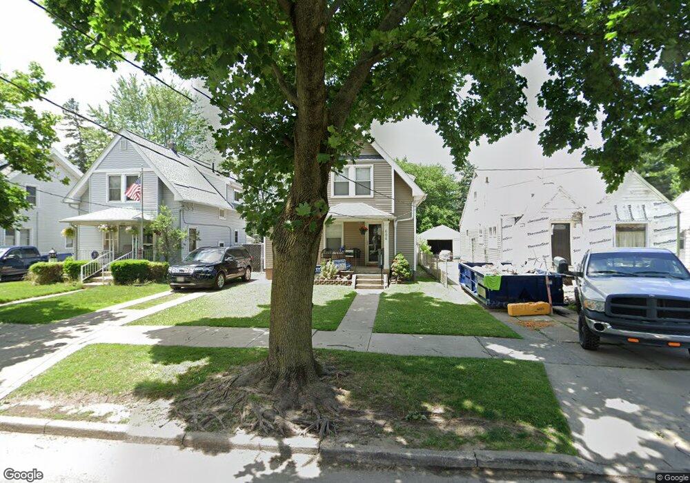
604 Apple Ave Toledo, OH 43609
Southside NeighborhoodEstimated Value: $101,000 - $133,000
About This Home
This home is located at 604 Apple Ave, Toledo, OH 43609 and is currently estimated at $118,650, approximately $97 per square foot. 604 Apple Ave is a home located in Lucas County with nearby schools including Burroughs Elementary School, Bowsher High School, and Explorers Academy of Science and Technology.
Ownership History
We collect this data history from publicly available records. To have your information removed, we recommend requesting removal directly through your county’s website.
Purchase Details
Home Financials for this Owner
Home Financials are based on the most recent Mortgage that was taken out on this home.Purchase Details
Purchase Details
Home Financials for this Owner
Home Financials are based on the most recent Mortgage that was taken out on this home.Home Values in the Area
Average Home Value in this Area
Purchase History
We collect this data history from publicly available records. To have your information removed, we recommend requesting removal directly through your county’s website.
| Date | Buyer | Sale Price | Title Company |
|---|---|---|---|
| $33,000 | Rels Title | ||
| $46,000 | None Available | ||
| $66,000 | Louisville Title Agency For |
Mortgage History
We collect this data history from publicly available records. To have your information removed, we recommend requesting removal directly through your county’s website.
| Date | Status | Borrower | Loan Amount |
|---|---|---|---|
| Previous Owner | $63,186 | ||
| Previous Owner | $65,966 |
Tax History
We collect this data history from publicly available records. To have your information removed, we recommend requesting removal directly through your county’s website.
| Year | Tax Paid | Tax Assessment Tax Assessment Total Assessment is a certain percentage of the fair market value that is determined by local assessors to be the total taxable value of land and additions on the property. | Land | Improvement |
|---|---|---|---|---|
| 2025 | -- | $34,195 | $7,035 | $27,160 |
| 2024 | $1,037 | $34,195 | $7,035 | $27,160 |
| 2023 | $1,609 | $25,095 | $5,915 | $19,180 |
| 2022 | $1,613 | $25,095 | $5,915 | $19,180 |
| 2021 | $1,654 | $25,095 | $5,915 | $19,180 |
| 2020 | $1,682 | $22,610 | $5,460 | $17,150 |
| 2019 | $1,636 | $22,610 | $5,460 | $17,150 |
| 2018 | $1,553 | $22,610 | $5,460 | $17,150 |
| 2017 | $1,476 | $19,145 | $5,040 | $14,105 |
| 2016 | $1,476 | $54,700 | $14,400 | $40,300 |
| 2015 | $1,463 | $54,700 | $14,400 | $40,300 |
| 2014 | $1,204 | $19,150 | $5,040 | $14,110 |
| 2013 | $1,204 | $19,150 | $5,040 | $14,110 |
Map
- 552 Federman St
- 553 Andora Dr
- 2335 Airport Hwy
- 616 Bronx Dr
- 2336 South Ave
- 616 Durango Dr
- 518 Colima Dr
- 2316 Ward St
- 621 S Westwood Ave
- 541 Myers St
- 622 S Westwood Ave
- 650 Caswell Ave
- 2019 South Ave
- 333 Danberry St
- 546 Shasta Dr
- 252 Kenmore Ave
- 1922 Southmoor Dr
- 1910 Southmoor Dr
- 2005 Airport Hwy
- 859 National Ave
Ask me questions while you tour the home.