604 Bunker Cir Carl Junction, MO 64834
Briarbrook NeighborhoodEstimated Value: $331,000 - $374,000
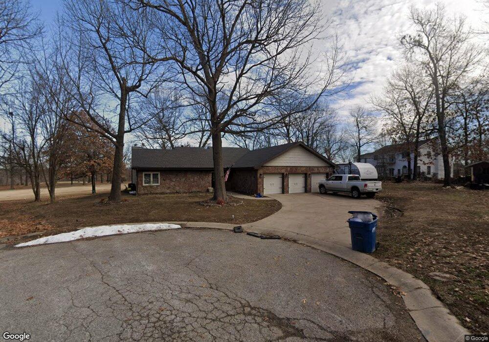
About This Home
This home is located at 604 Bunker Cir, Carl Junction, MO 64834 and is currently estimated at $349,810, approximately $141 per square foot. 604 Bunker Cir is a home located in Jasper County with nearby schools including Carl Junction Primary School (K-1), Carl Junction Intermediate School, and Carl Junction Primary School (2-3).
Ownership History
We collect this data history from publicly available records. To have your information removed, we recommend requesting removal directly through your county’s website.
Purchase Details
Home Financials for this Owner
Home Financials are based on the most recent Mortgage that was taken out on this home.Purchase Details
Home Financials for this Owner
Home Financials are based on the most recent Mortgage that was taken out on this home.Purchase Details
Home Financials for this Owner
Home Financials are based on the most recent Mortgage that was taken out on this home.Purchase Details
Purchase Details
Home Financials for this Owner
Home Financials are based on the most recent Mortgage that was taken out on this home.Purchase Details
Home Financials for this Owner
Home Financials are based on the most recent Mortgage that was taken out on this home.Purchase Details
Home Values in the Area
Average Home Value in this Area
Purchase History
We collect this data history from publicly available records. To have your information removed, we recommend requesting removal directly through your county’s website.
| Date | Buyer | Sale Price | Title Company |
|---|---|---|---|
| -- | None Listed On Document | ||
| -- | None Listed On Document | ||
| -- | -- | ||
| -- | -- | ||
| -- | Fatco | ||
| -- | None Available | ||
| -- | Abbey |
Mortgage History
We collect this data history from publicly available records. To have your information removed, we recommend requesting removal directly through your county’s website.
| Date | Status | Borrower | Loan Amount |
|---|---|---|---|
| Open | $249,804 | ||
| Previous Owner | $294,016 | ||
| Previous Owner | $223,250 | ||
| Previous Owner | $144,000 | ||
| Previous Owner | $135,000 |
Tax History
We collect this data history from publicly available records. To have your information removed, we recommend requesting removal directly through your county’s website.
| Year | Tax Paid | Tax Assessment Tax Assessment Total Assessment is a certain percentage of the fair market value that is determined by local assessors to be the total taxable value of land and additions on the property. | Land | Improvement |
|---|---|---|---|---|
| 2025 | $2,077 | $36,420 | $3,690 | $32,730 |
| 2024 | $2,084 | $32,760 | $3,690 | $29,070 |
| 2023 | $2,084 | $32,760 | $3,690 | $29,070 |
| 2022 | $2,197 | $34,530 | $3,690 | $30,840 |
| 2021 | $1,902 | $34,530 | $3,690 | $30,840 |
| 2020 | $1,775 | $31,800 | $3,690 | $28,110 |
| 2019 | $1,688 | $31,800 | $3,690 | $28,110 |
| 2018 | $1,780 | $33,750 | $0 | $0 |
| 2017 | $1,785 | $33,750 | $0 | $0 |
| 2016 | $1,870 | $35,660 | $0 | $0 |
| 2015 | -- | $35,660 | $0 | $0 |
| 2014 | -- | $35,170 | $0 | $0 |
Map
- 45 Tanglewood Dr
- 36 Tanglewood Dr
- 306 Lakeview Ln
- 132 Black Oak Dr
- 6548 Mo-171
- 407 Dogwood Trails Loop
- 328 Briarbrook Dr
- 917 Dogwood Trail Loop
- 407 Lakeview Ln
- 305 Tee Ln
- 910 Briarbrook Dr
- 104 Briar Meadow Dr
- 504 Woodland St
- 123 Cody John Way
- 6648 Geneva Dr
- 202 Briarbrook Dr
- 312 Copper Oaks Dr
- 913 W Briarbrook Ln
- 201 Tee Ln
- 117 Rocky Ln
- 702 Brassie Cir
- 606 E Briarbrook Ln
- 700 Brassie Cir
- 700 E Briarbrook Ln
- 600 E Briarbrook Ln
- 504 Eagle Cir
- 506 Eagle Cir
- 605 Bunker Ln
- 706 Brassie Cir
- 704 Brassie Cir
- 601 Bunker Ln
- 703 E Briarbrook Ln
- 2 Lots Gum Rd
- 2 Lots Gum Rd
- 507 Eagle Cir
- 607 Bunker Ln
- 502 Eagle Cir
- 712 E Briarbrook Ln
- 500 Eagle Cir
- 603 Bunker Ln
Ask me questions while you tour the home.