604 Fields McGhee Dr Unit (LAND) Canton, GA 30114
Estimated Value: $311,565 - $491,000
3
Beds
3
Baths
1,456
Sq Ft
$277/Sq Ft
Est. Value
About This Home
This home is located at 604 Fields McGhee Dr Unit (LAND), Canton, GA 30114 and is currently estimated at $403,641, approximately $277 per square foot. 604 Fields McGhee Dr Unit (LAND) is a home located in Cherokee County with nearby schools including Clayton Elementary School, Teasley Middle School, and Cherokee High School.
Ownership History
Date
Name
Owned For
Owner Type
Purchase Details
Closed on
Oct 5, 2021
Sold by
Geers Frank A
Bought by
Geers Joshua Robert
Current Estimated Value
Home Financials for this Owner
Home Financials are based on the most recent Mortgage that was taken out on this home.
Original Mortgage
$181,623
Outstanding Balance
$164,903
Interest Rate
2.8%
Mortgage Type
FHA
Estimated Equity
$238,738
Purchase Details
Closed on
Oct 30, 2017
Sold by
Geers Frank A
Bought by
Geers Joshua Robert
Purchase Details
Closed on
Sep 18, 2015
Sold by
Fields Martha Oveline
Bought by
Geers Frank A
Create a Home Valuation Report for This Property
The Home Valuation Report is an in-depth analysis detailing your home's value as well as a comparison with similar homes in the area
Home Values in the Area
Average Home Value in this Area
Purchase History
| Date | Buyer | Sale Price | Title Company |
|---|---|---|---|
| Geers Joshua Robert | $210,000 | -- | |
| Geers Joshua Robert | -- | -- | |
| Geers Frank A | $229,000 | -- |
Source: Public Records
Mortgage History
| Date | Status | Borrower | Loan Amount |
|---|---|---|---|
| Open | Geers Joshua Robert | $181,623 |
Source: Public Records
Tax History
| Year | Tax Paid | Tax Assessment Tax Assessment Total Assessment is a certain percentage of the fair market value that is determined by local assessors to be the total taxable value of land and additions on the property. | Land | Improvement |
|---|---|---|---|---|
| 2025 | $3,213 | $122,340 | $28,560 | $93,780 |
| 2024 | $2,977 | $114,552 | $20,400 | $94,152 |
| 2023 | $2,499 | $96,164 | $17,200 | $78,964 |
| 2022 | $1,978 | $75,276 | $14,640 | $60,636 |
| 2021 | $2,839 | $102,944 | $56,400 | $46,544 |
| 2020 | $2,712 | $97,652 | $56,400 | $41,252 |
| 2019 | $2,627 | $94,680 | $56,400 | $38,280 |
| 2018 | $2,596 | $93,080 | $56,400 | $36,680 |
| 2017 | $2,859 | $255,200 | $63,800 | $38,280 |
| 2016 | $2,667 | $229,000 | $63,800 | $27,800 |
| 2015 | $963 | $250,200 | $63,800 | $36,280 |
| 2014 | $924 | $240,000 | $60,440 | $35,560 |
Source: Public Records
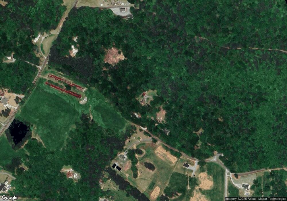
Map
Nearby Homes
- 425 Chadwick Place
- 2200 Upper Burris Rd
- 14430 Fincher Rd
- 649 Dixon Rd
- 14402 Fincher Rd
- 13375 Fincher Rd
- 1812 Upper Bethany Rd
- 0 Upper Bethany Rd Unit 10574949
- 0 Upper Bethany Rd Unit 7619918
- 0 Williams Tract D Ln Unit 7738689
- 0 Williams Tract D Ln Unit 10714988
- 3869 Lower Burris Rd
- 864 Blackberry Trail
- 261 Clayton Trail
- 607 Black Hawk Ln
- 106 Shalea Ln
- 920 Whistler Ln
- 920 Whistler Ln Unit 68
- 922 Whistler Ln Unit 67
- 922 Whistler Ln
- 604 Fields McGhee Dr
- 675 Fields McGhee Dr
- 857 Fields McGhee Dr
- 1820 Upper Burris Rd
- 0000 Fields McGhee Dr
- 000 Fields McGhee Dr
- 00 Fields McGhee Dr
- 0 Fields McGhee Dr Unit 2 7078333
- 0 Fields McGhee Dr Unit 4 7078303
- 0 Fields McGhee Dr Unit 1 7078407
- 0 Fields McGhee Dr Unit 3 7078312
- 0 Fields McGhee Dr Unit 7306289
- 0 Fields McGhee Dr Unit 3775047
- 0 Fields McGhee Dr Unit 5131806
- 0 Fields McGhee Dr Unit 5319685
- 0 Fields McGee Dr Unit 3280988
- 0 Fields McGhee Dr Unit 2
- 0 Fields McGhee Dr Unit 1
- 0 Fields McGhee Dr Unit 4
- 0 Fields McGhee Dr Unit 3
Your Personal Tour Guide
Ask me questions while you tour the home.