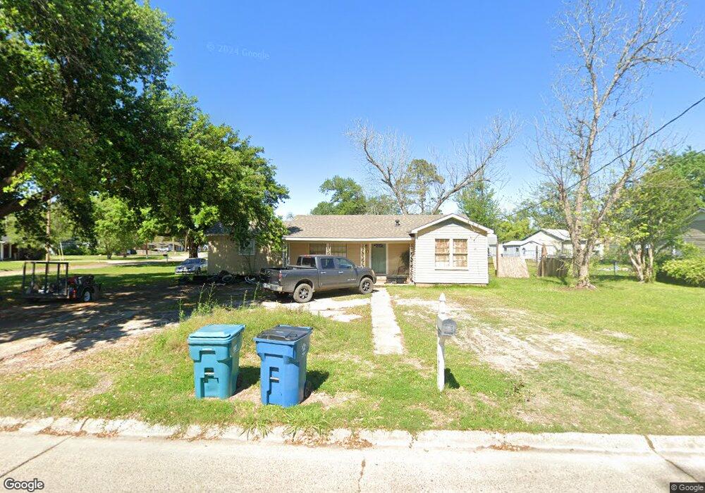
604 Ginger St Sulphur, LA 70663
Estimated Value: $97,000 - $158,000
Studio
--
Bath
--
Sq Ft
1,525
Sq Ft Lot Lot
About This Home
This home is located at 604 Ginger St, Sulphur, LA 70663 and is currently estimated at $134,717. 604 Ginger St is a home located in Calcasieu Parish with nearby schools including Frasch Elementary School, W.W. Lewis Middle School, and Sulphur High School.
Ownership History
Date
Name
Owned For
Owner Type
Purchase Details
Closed on
Mar 7, 2016
Sold by
Welch Donald Ray and Welch Sheryl Ann
Bought by
Cropley Christopher Todd and Meaux Leslie
Current Estimated Value
Home Financials for this Owner
Home Financials are based on the most recent Mortgage that was taken out on this home.
Original Mortgage
$60,000
Outstanding Balance
$46,949
Interest Rate
3.72%
Estimated Equity
$87,768
Purchase Details
Closed on
Aug 1, 2014
Sold by
Welch Donald Ray and Welch Sherly Ann
Bought by
Cropley Terry Lee
Home Financials for this Owner
Home Financials are based on the most recent Mortgage that was taken out on this home.
Original Mortgage
$83,000
Interest Rate
4.2%
Purchase Details
Closed on
Sep 18, 2013
Sold by
Lafleur Kim Renee and Carter Larry Joe
Bought by
Welch Donald Ray and Welch Sheryl
Create a Home Valuation Report for This Property
The Home Valuation Report is an in-depth analysis detailing your home's value as well as a comparison with similar homes in the area
Purchase History
We collect this data history from publicly available records. To have your information removed, we recommend requesting removal directly through your county’s website.
| Date | Buyer | Sale Price | Title Company |
|---|---|---|---|
| Cropley Christopher Todd | -- | None Available | |
| Cropley Terry Lee | $93,000 | None Available | |
| Welch Donald Ray | $50,000 | None Available |
Source: Public Records
Mortgage History
We collect this data history from publicly available records. To have your information removed, we recommend requesting removal directly through your county’s website.
| Date | Status | Borrower | Loan Amount |
|---|---|---|---|
| Open | Cropley Christopher Todd | $60,000 | |
| Previous Owner | Cropley Terry Lee | $83,000 |
Source: Public Records
Tax History
| Year | Tax Paid | Tax Assessment Tax Assessment Total Assessment is a certain percentage of the fair market value that is determined by local assessors to be the total taxable value of land and additions on the property. | Land | Improvement |
|---|---|---|---|---|
| 2025 | $356 | $9,690 | $2,700 | $6,990 |
| 2024 | $356 | $9,690 | $2,700 | $6,990 |
| 2023 | $359 | $9,690 | $2,700 | $6,990 |
| 2022 | $357 | $9,690 | $2,700 | $6,990 |
| 2021 | $202 | $9,690 | $2,700 | $6,990 |
| 2020 | $946 | $8,880 | $2,590 | $6,290 |
| 2019 | $1,023 | $9,490 | $2,500 | $6,990 |
| 2018 | $334 | $9,490 | $2,500 | $6,990 |
| 2017 | $1,063 | $9,490 | $2,500 | $6,990 |
| 2016 | $1,050 | $9,490 | $2,500 | $6,990 |
| 2015 | $663 | $5,720 | $2,200 | $3,520 |
Source: Public Records
Map
Nearby Homes
- 1641 Eddie St
- 0 Eddie St Unit SWL23005682
- 0 Eddie St Unit SWL24005544
- 0 Eddie St Unit 45-712
- 1306 W Kent Dr
- 1221 Pamela St
- 217 Darbonne St
- 131 N Aracobra St
- 900 Mathilda Dr
- 156 Starlin Dr
- 1305 Francis St
- 1605 Ruth St
- 916 Melanie Dr
- 1002 Maria Dr
- 419 Cypress St
- 1713 Ewel St
- 623 Mustang St
- 1813 Ewel St Unit SUL
- 413 Invader St
- 320 Cypress St
Your Personal Tour Guide
Ask me questions while you tour the home.