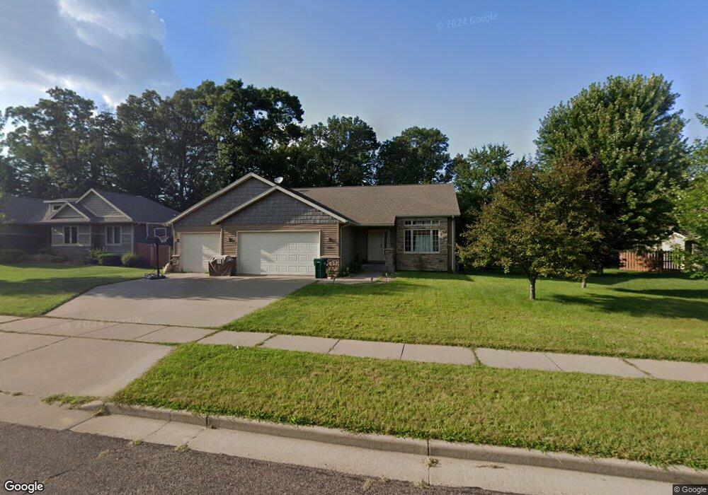
604 Katie Ln Eau Claire, WI 54703
Estimated Value: $380,000 - $446,000
4
Beds
3
Baths
2,270
Sq Ft
$180/Sq Ft
Est. Value
About This Home
This home is located at 604 Katie Ln, Eau Claire, WI 54703 and is currently estimated at $407,762, approximately $179 per square foot. 604 Katie Ln is a home located in Eau Claire County with nearby schools including Roosevelt Elementary School, Delong Middle School, and North High School.
Ownership History
Date
Name
Owned For
Owner Type
Purchase Details
Closed on
Aug 25, 2009
Sold by
Lyman Lumber Of Wisconsin
Bought by
Kosmp Scott and Thelss Erica
Current Estimated Value
Home Financials for this Owner
Home Financials are based on the most recent Mortgage that was taken out on this home.
Original Mortgage
$206,658
Outstanding Balance
$135,702
Interest Rate
5.27%
Mortgage Type
Construction
Estimated Equity
$272,060
Create a Home Valuation Report for This Property
The Home Valuation Report is an in-depth analysis detailing your home's value as well as a comparison with similar homes in the area
Purchase History
| Date | Buyer | Sale Price | Title Company |
|---|---|---|---|
| Kosmp Scott | $31,000 | None Available |
Source: Public Records
Mortgage History
| Date | Status | Borrower | Loan Amount |
|---|---|---|---|
| Open | Kosmp Scott | $206,658 |
Source: Public Records
Tax History
| Year | Tax Paid | Tax Assessment Tax Assessment Total Assessment is a certain percentage of the fair market value that is determined by local assessors to be the total taxable value of land and additions on the property. | Land | Improvement |
|---|---|---|---|---|
| 2024 | $5,826 | $304,200 | $42,000 | $262,200 |
| 2023 | $5,308 | $304,200 | $42,000 | $262,200 |
| 2022 | $5,188 | $304,200 | $42,000 | $262,200 |
| 2021 | $5,078 | $304,200 | $42,000 | $262,200 |
| 2020 | $4,813 | $249,700 | $42,000 | $207,700 |
| 2019 | $4,805 | $249,700 | $42,000 | $207,700 |
| 2018 | $4,725 | $249,700 | $42,000 | $207,700 |
| 2017 | $4,931 | $223,100 | $39,000 | $184,100 |
| 2016 | $4,952 | $223,100 | $39,000 | $184,100 |
| 2014 | -- | $223,100 | $39,000 | $184,100 |
| 2013 | -- | $223,100 | $39,000 | $184,100 |
Source: Public Records
Map
Nearby Homes
- 5643 Green Park Dr
- 5609 Green Park Dr
- 5580 Green Park Dr
- 820 Willow Ct
- 1352 Juniper Place
- 5149 Maple Leaf Path
- 5119 Maple Leaf Path
- 5133 Maple Leaf Path
- 5135 Maple Leaf Path
- 5121 Maple Leaf Path
- 5147 Maple Leaf Path
- 5042 Maple Leaf Path
- 6362 Wilder Ln
- 5044 Maple Leaf Path
- 6418 Burr Oak Ln Unit Lot 48
- 602 Hagman St Unit Lot 12
- 604 Hagman St Unit Lot 11
- 616 Hagman St
- 562 Hagman St Unit Lot 17
- 560 Hagman St Unit Lot 18
- 608 Katie Ln
- 5510 Benjamin St
- 5524 Benjamin St
- 603 W Shorewood Dr
- 605 Katie Ln
- 607 W Shorewood Dr
- 5531 Shorewood Heights Pkwy
- 603 Katie Ln
- 609 Katie Ln
- 601 Katie Ln
- 5532 Benjamin St
- 5601 Shorewood Heights Pkwy
- 505 W Shorewood Dr
- 611 Katie Ln
- 5531 Benjamin St
- 5455 Benjamin St
- 5613 Shorewood Heights Pkwy
- 5446 Benjamin St
- 5420 Benjamin St
- 5507 Benjamin St
Your Personal Tour Guide
Ask me questions while you tour the home.