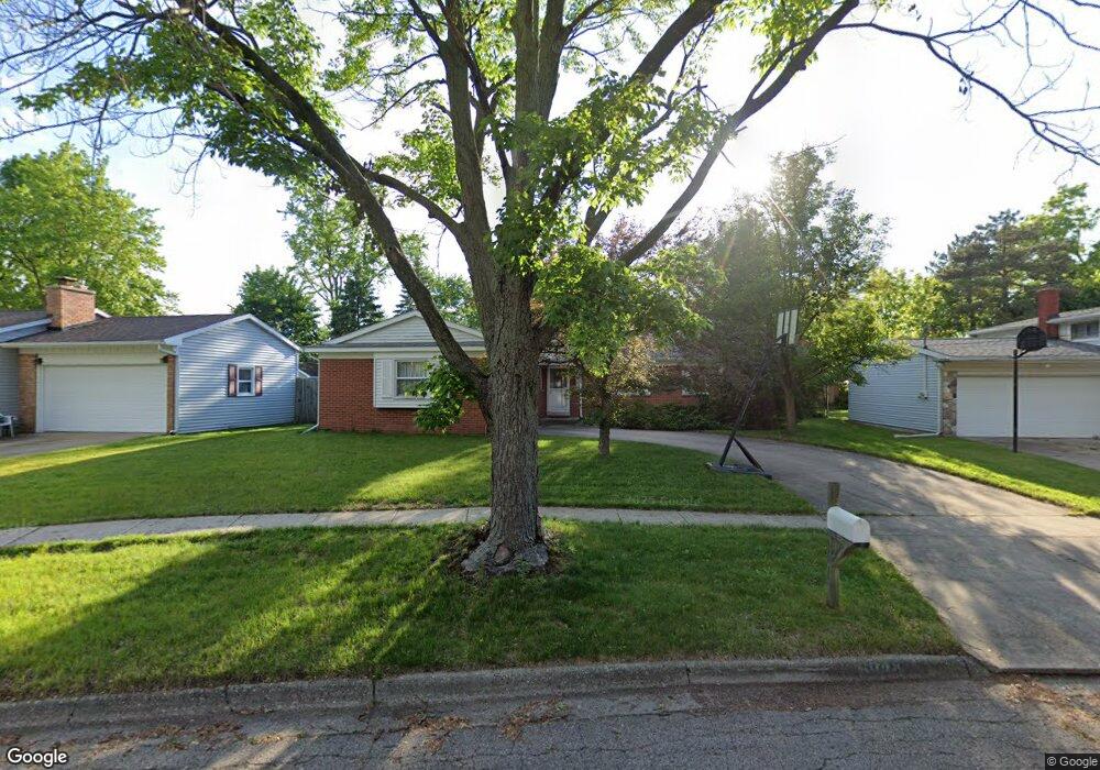
6048 Devon St Portage, MI 49024
Estimated Value: $246,000 - $258,000
3
Beds
2
Baths
1,686
Sq Ft
$151/Sq Ft
Est. Value
About This Home
This home is located at 6048 Devon St, Portage, MI 49024 and is currently estimated at $254,420, approximately $150 per square foot. 6048 Devon St is a home located in Kalamazoo County with nearby schools including Haverhill Elementary School, Portage North Middle School, and Portage Northern High School.
Ownership History
Date
Name
Owned For
Owner Type
Purchase Details
Closed on
Aug 28, 2009
Sold by
Morris Stephanie A
Bought by
Morris Danielle M and Morris Stephanie A
Current Estimated Value
Purchase Details
Closed on
Apr 27, 2007
Sold by
Emmert D Edward and Emmert Lila L
Bought by
Bellia Mark
Home Financials for this Owner
Home Financials are based on the most recent Mortgage that was taken out on this home.
Original Mortgage
$125,875
Outstanding Balance
$76,608
Interest Rate
6.18%
Mortgage Type
Purchase Money Mortgage
Estimated Equity
$177,812
Create a Home Valuation Report for This Property
The Home Valuation Report is an in-depth analysis detailing your home's value as well as a comparison with similar homes in the area
Home Values in the Area
Average Home Value in this Area
Purchase History
| Date | Buyer | Sale Price | Title Company |
|---|---|---|---|
| Morris Danielle M | -- | None Available | |
| Bellia Mark | $132,500 | Devon |
Source: Public Records
Mortgage History
| Date | Status | Borrower | Loan Amount |
|---|---|---|---|
| Open | Bellia Mark | $125,875 |
Source: Public Records
Tax History
| Year | Tax Paid | Tax Assessment Tax Assessment Total Assessment is a certain percentage of the fair market value that is determined by local assessors to be the total taxable value of land and additions on the property. | Land | Improvement |
|---|---|---|---|---|
| 2025 | $2,988 | $107,300 | $0 | $0 |
| 2024 | $2,901 | $105,400 | $0 | $0 |
| 2023 | $2,766 | $94,000 | $0 | $0 |
| 2022 | $2,988 | $83,000 | $0 | $0 |
| 2021 | $2,888 | $78,400 | $0 | $0 |
| 2020 | $2,825 | $73,000 | $0 | $0 |
| 2019 | $254 | $69,900 | $0 | $0 |
| 2018 | $0 | $67,600 | $0 | $0 |
| 2017 | $0 | $66,600 | $0 | $0 |
| 2016 | -- | $65,700 | $0 | $0 |
| 2015 | -- | $60,800 | $0 | $0 |
| 2014 | -- | $58,000 | $0 | $0 |
Source: Public Records
Map
Nearby Homes
- 5835 Mount Vernon Ave
- 6303 Surrey St
- 5703 Monticello Ave
- 5909 Utah Ave
- 5723 Roanoke St
- 5925 Nevada Ave
- 5747 Utah Ave
- 6348 Westchester St
- 1186 Rainbow Ct
- 6803 Fescue St
- 6519 Trotwood St
- 6642 Westchester St
- 213 E van Hoesen Blvd
- 6620 Evergreen St
- 311 E Milham Ave
- 6909 Oakland Dr
- 5116 Bronson Blvd
- 6648 Cypress St
- 6290 Liteolier St
- 1605 Meadowbrook Ln
Your Personal Tour Guide
Ask me questions while you tour the home.