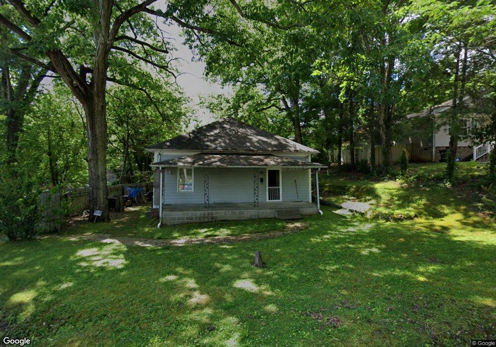
605 Main St Dalton, GA 30720
Estimated Value: $81,000 - $199,000
About This Home
This home is located at 605 Main St, Dalton, GA 30720 and is currently estimated at $139,994, approximately $155 per square foot. 605 Main St is a home with nearby schools including Westwood Elementary School, Dalton High School, and Rock Hill School.
Ownership History
We collect this data history from publicly available records. To have your information removed, we recommend requesting removal directly through your county’s website.
Purchase Details
Home Financials for this Owner
Home Financials are based on the most recent Mortgage that was taken out on this home.Purchase Details
Purchase History
We collect this data history from publicly available records. To have your information removed, we recommend requesting removal directly through your county’s website.
| Date | Buyer | Sale Price | Title Company |
|---|---|---|---|
| $40,000 | -- | ||
| -- | -- |
Mortgage History
We collect this data history from publicly available records. To have your information removed, we recommend requesting removal directly through your county’s website.
| Date | Status | Borrower | Loan Amount |
|---|---|---|---|
| Open | $40,000 |
Tax History
We collect this data history from publicly available records. To have your information removed, we recommend requesting removal directly through your county’s website.
| Year | Tax Paid | Tax Assessment Tax Assessment Total Assessment is a certain percentage of the fair market value that is determined by local assessors to be the total taxable value of land and additions on the property. | Land | Improvement |
|---|---|---|---|---|
| 2025 | $834 | $33,719 | $8,400 | $25,319 |
| 2024 | $834 | $33,719 | $8,400 | $25,319 |
| 2023 | $536 | $20,582 | $6,000 | $14,582 |
| 2022 | $362 | $17,326 | $2,940 | $14,386 |
| 2021 | $362 | $17,326 | $2,940 | $14,386 |
| 2020 | $367 | $17,326 | $2,940 | $14,386 |
| 2019 | $375 | $17,326 | $2,940 | $14,386 |
| 2018 | $376 | $17,326 | $2,940 | $14,386 |
| 2017 | $321 | $17,326 | $2,940 | $14,386 |
| 2016 | $582 | $16,024 | $2,940 | $13,084 |
| 2014 | $529 | $16,024 | $2,940 | $13,084 |
| 2013 | -- | $16,024 | $2,940 | $13,084 |
Map
- 619 Cascade Dr
- 612 Richardson St
- 900 Cascade Dr Unit 2
- 900 Cascade Dr
- 1310 Cleo Way
- 0 Lance St
- 807 Trammell St
- 504 W Boundary St
- 1530 W Waugh St
- Lot 4 0 Point North Place
- 318 W Tyler St
- 510 Charles St
- 803 W Waugh St
- 1103 Manly St
- 1295 Walston St
- 1315 Walston St
- 1129 N Hamilton St
- 509 N Hamilton St
- 0 Covie Ridge Unit 135327
- 1501 Anthony Ave
Ask me questions while you tour the home.