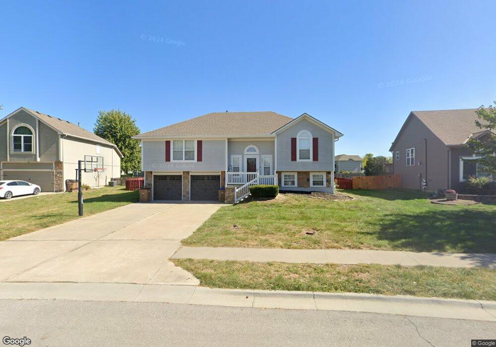
605 Mayberry Ct Raymore, MO 64083
Estimated Value: $330,776 - $353,000
3
Beds
2
Baths
1,416
Sq Ft
$238/Sq Ft
Est. Value
About This Home
This home is located at 605 Mayberry Ct, Raymore, MO 64083 and is currently estimated at $336,944, approximately $237 per square foot. 605 Mayberry Ct is a home located in Cass County with nearby schools including Stonegate Elementary School, Raymore-Peculiar South Middle School, and Raymore-Peculiar Senior High School.
Ownership History
Date
Name
Owned For
Owner Type
Purchase Details
Closed on
Apr 21, 2010
Sold by
Davies Robert N and Davies Maria L
Bought by
Wilmes Abigail M
Current Estimated Value
Home Financials for this Owner
Home Financials are based on the most recent Mortgage that was taken out on this home.
Original Mortgage
$13,988
Outstanding Balance
$9,202
Interest Rate
4.91%
Mortgage Type
FHA
Estimated Equity
$327,742
Create a Home Valuation Report for This Property
The Home Valuation Report is an in-depth analysis detailing your home's value as well as a comparison with similar homes in the area
Home Values in the Area
Average Home Value in this Area
Purchase History
We collect this data history from publicly available records. To have your information removed, we recommend requesting removal directly through your county’s website.
| Date | Buyer | Sale Price | Title Company |
|---|---|---|---|
| Wilmes Abigail M | -- | -- |
Source: Public Records
Mortgage History
We collect this data history from publicly available records. To have your information removed, we recommend requesting removal directly through your county’s website.
| Date | Status | Borrower | Loan Amount |
|---|---|---|---|
| Open | Wilmes Abigail M | $13,988 |
Source: Public Records
Tax History
| Year | Tax Paid | Tax Assessment Tax Assessment Total Assessment is a certain percentage of the fair market value that is determined by local assessors to be the total taxable value of land and additions on the property. | Land | Improvement |
|---|---|---|---|---|
| 2025 | $3,153 | $43,720 | $8,910 | $34,810 |
| 2024 | $3,153 | $38,740 | $8,100 | $30,640 |
| 2023 | $3,149 | $38,740 | $8,100 | $30,640 |
| 2022 | $2,884 | $35,250 | $8,100 | $27,150 |
| 2021 | $2,884 | $35,250 | $8,100 | $27,150 |
| 2020 | $2,838 | $34,070 | $8,100 | $25,970 |
| 2019 | $2,740 | $34,070 | $8,100 | $25,970 |
| 2018 | $2,511 | $30,150 | $6,750 | $23,400 |
| 2017 | $2,306 | $30,150 | $6,750 | $23,400 |
| 2016 | $2,306 | $28,740 | $6,750 | $21,990 |
| 2015 | $2,307 | $28,740 | $6,750 | $21,990 |
| 2014 | $2,208 | $27,490 | $6,750 | $20,740 |
| 2013 | -- | $27,490 | $6,750 | $20,740 |
Source: Public Records
Map
Nearby Homes
- 901 W Lucy Webb Rd
- 1408 Cedar Ridge Cir
- 500 Bayview Dr
- 417 S Lakeshore Dr
- 727 Country Ln
- 1016 Carlisle Dr
- 1401 Rylee Ct
- 523 Brookwood Ln
- 1102 Bristol Dr
- 1016 Bristol Dr
- 1506 Horseshoe Dr
- 604 S Sunset Ln
- 1519 Bridlewood Ln
- 2A Meadow Ln
- 830 Cedar Ridge Dr
- 1300 Aberdeen Cir
- 401 S Sunset Ln
- 414 Eagle Glen Dr
- 803 Cindy Ln
- 615 Overlook Dr
- 606 Mayberry Ct
- 1112 Yokley Dr
- 603 Garnes St
- 1107 Yokley Dr
- 1109 Yokley Dr
- 1105 Yokley Dr
- 604 Mayberry Ct
- 1111 Yokley Dr
- 601 Garnes St
- 602 Mayberry Ct
- 1100 Branchwood Ln
- 1103 Yokley Dr
- 1113 Yokley Dr
- 1104 White Oak Ct
- 607 Mayberry Ct
- 1106 White Oak Ct
- 606 Garnes St
- 1115 Yokley Dr
- 608 Garnes St
- 1101 Yokley Dr
Your Personal Tour Guide
Ask me questions while you tour the home.