605 W River St Bourbonnais, IL 60914
Bourbonnais AreaEstimated Value: $204,000 - $223,573
About This Home
This home is located at 605 W River St, Bourbonnais, IL 60914 and is currently estimated at $214,143, approximately $172 per square foot. 605 W River St is a home located in Kankakee County with nearby schools including Alan B. Shepard Elementary School, Liberty Intermediate School, and Bourbonnais Upper Grade Center.
Ownership History
We collect this data history from publicly available records. To have your information removed, we recommend requesting removal directly through your county’s website.
Purchase Details
Home Financials for this Owner
Home Financials are based on the most recent Mortgage that was taken out on this home.Home Values in the Area
Average Home Value in this Area
Purchase History
We collect this data history from publicly available records. To have your information removed, we recommend requesting removal directly through your county’s website.
| Date | Buyer | Sale Price | Title Company |
|---|---|---|---|
| $126,000 | Homestar Title Company |
Mortgage History
We collect this data history from publicly available records. To have your information removed, we recommend requesting removal directly through your county’s website.
| Date | Status | Borrower | Loan Amount |
|---|---|---|---|
| Open | $118,000 | ||
| Closed | $119,700 |
Tax History
We collect this data history from publicly available records. To have your information removed, we recommend requesting removal directly through your county’s website.
| Year | Tax Paid | Tax Assessment Tax Assessment Total Assessment is a certain percentage of the fair market value that is determined by local assessors to be the total taxable value of land and additions on the property. | Land | Improvement |
|---|---|---|---|---|
| 2025 | $4,267 | $66,857 | $5,599 | $61,258 |
| 2024 | $4,267 | $57,346 | $5,282 | $52,064 |
| 2023 | $3,889 | $53,098 | $4,891 | $48,207 |
| 2022 | $3,772 | $49,826 | $4,714 | $45,112 |
| 2021 | $3,626 | $47,864 | $4,610 | $43,254 |
| 2020 | $3,477 | $45,357 | $4,487 | $40,870 |
| 2019 | $3,171 | $41,512 | $4,356 | $37,156 |
| 2018 | $2,941 | $38,827 | $4,292 | $34,535 |
| 2017 | $2,064 | $36,899 | $4,187 | $32,712 |
| 2016 | $2,060 | $35,722 | $4,125 | $31,597 |
| 2015 | $2,086 | $33,878 | $4,084 | $29,794 |
| 2014 | $2,642 | $41,172 | $4,084 | $37,088 |
| 2013 | -- | $41,721 | $4,084 | $37,637 |
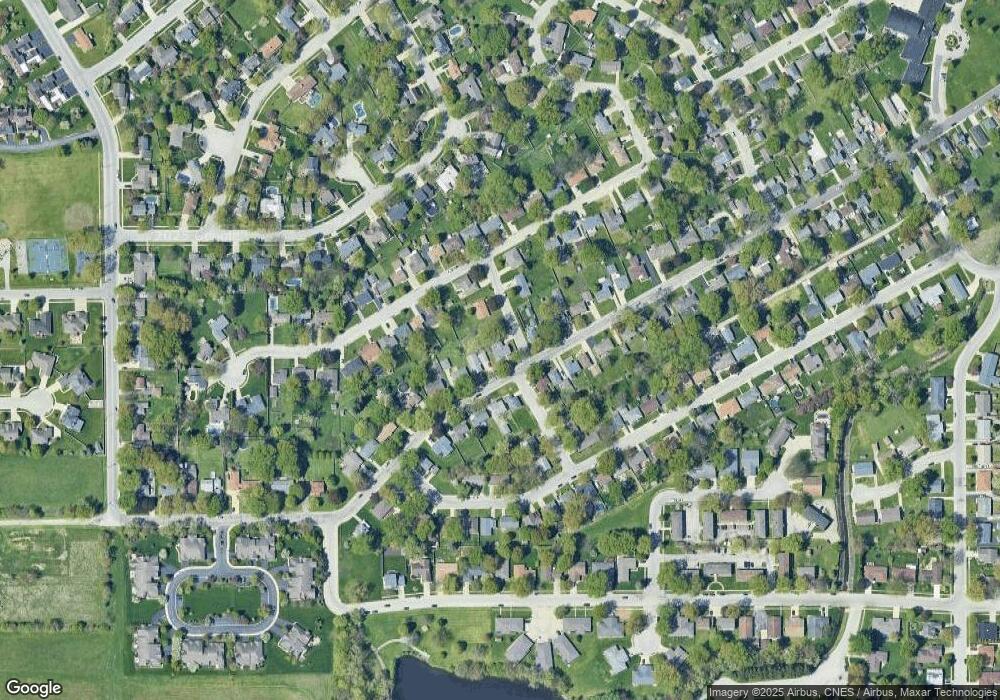
Map
- 248 Fox Trail Dr
- 778 Woodstock Ln
- 13 Briarcliff Ct
- 209-215 E Marsile St
- 440 S Cryer Ave
- 901 W North St
- 2008 Indian Trail
- 1256 Marla Terrace
- 1268 Deer Path
- 372 N Blaine Ave
- 2 Oxford Place
- 1905 Indian Trail
- 1136 Gertsam Dr
- 184 S Forest Ave
- Lot 5/5A Almar Pkwy
- 197 N Cleveland Ave
- 183 N Cleveland Ave
- 357 Windermere Way
- 213 Belle Aire Ave
- 440 Dover Turn
- 163 Pallissard Dr
- 591 W River St
- 206 S Drummond St Unit 214
- 592 W River St
- 209 S Drummond St
- 617 W River St
- 577 W River St
- 582 W River St
- 616 W River St
- 629 W River St
- 123 Pallissard Dr
- 570 W River St
- 630 Stockton Heights Dr
- 160 Pallissard Dr
- 628 W River St
- 120 Pallissard Dr
- 559 W River St
- 641 W River St
- 260 S Drummond St
- 640 W River St
Ask me questions while you tour the home.