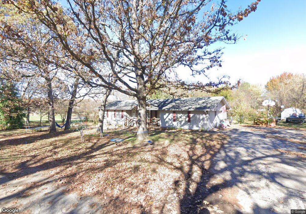
6064 W Timberline Rd Monett, MO 65708
Estimated Value: $186,565 - $262,000
3
Beds
2
Baths
1,399
Sq Ft
$160/Sq Ft
Est. Value
About This Home
This home is located at 6064 W Timberline Rd, Monett, MO 65708 and is currently estimated at $223,891, approximately $160 per square foot. 6064 W Timberline Rd is a home located in Barry County with nearby schools including Monett Elementary School, Central Park Elementary School, and Monett Intermediate School.
Ownership History
Date
Name
Owned For
Owner Type
Purchase Details
Closed on
Aug 13, 2014
Sold by
Williams Jordan M and Williams Ashley D
Bought by
Swope Sara A and Swope Tyler S
Current Estimated Value
Home Financials for this Owner
Home Financials are based on the most recent Mortgage that was taken out on this home.
Original Mortgage
$98,469
Outstanding Balance
$75,306
Interest Rate
4.19%
Mortgage Type
New Conventional
Estimated Equity
$148,585
Create a Home Valuation Report for This Property
The Home Valuation Report is an in-depth analysis detailing your home's value as well as a comparison with similar homes in the area
Home Values in the Area
Average Home Value in this Area
Purchase History
| Date | Buyer | Sale Price | Title Company |
|---|---|---|---|
| Swope Sara A | -- | None Available |
Source: Public Records
Mortgage History
| Date | Status | Borrower | Loan Amount |
|---|---|---|---|
| Open | Swope Sara A | $98,469 |
Source: Public Records
Tax History
| Year | Tax Paid | Tax Assessment Tax Assessment Total Assessment is a certain percentage of the fair market value that is determined by local assessors to be the total taxable value of land and additions on the property. | Land | Improvement |
|---|---|---|---|---|
| 2025 | $973 | $20,596 | $3,629 | $16,967 |
| 2024 | $10 | $19,076 | $3,629 | $15,447 |
| 2023 | $915 | $19,076 | $3,629 | $15,447 |
| 2022 | $876 | $18,297 | $2,850 | $15,447 |
| 2020 | $901 | $18,297 | $2,850 | $15,447 |
| 2018 | $847 | $18,297 | $2,850 | $15,447 |
| 2017 | $846 | $18,297 | $2,850 | $15,447 |
| 2016 | $782 | $16,644 | $2,470 | $14,174 |
| 2015 | -- | $16,644 | $2,470 | $14,174 |
| 2014 | -- | $16,625 | $2,470 | $14,155 |
| 2012 | -- | $0 | $0 | $0 |
Source: Public Records
Map
Nearby Homes
- 000 Redbud Place
- 104 Haylee Cir
- 303 Highland Ave
- 404 Highland Ave
- 00 Lot 8 & 13 Private Road 1066
- 000 Private Road 2018
- 519 Myrtle St
- 517 W Myrtle
- 400 W Myrtle
- 15 Southgate Ave
- 300 N Lincoln Ave
- 406 W Wishart St
- 802 1st Ave
- 423 Honeysuckle Ln
- 404 Frisco St
- 212 N Central Ave
- 1100 Lakewood Dr
- 700 Frisco Ave
- 7 E Broadway
- 607 Frisco St
- 908 W Crestwood Dr
- 6047 Westwood Rd
- 6067 W Timberline Rd
- 941 W Crestwood Dr
- 6046 Westwood Rd
- 890 W Crestwood Dr
- 849 W Crestwood Dr
- 918 W Crestwood Dr
- 938 W Crestwood Dr
- 876 W Crestwood Dr
- 977 W Crestwood Dr
- 829 W Crestwood Dr
- 6035 Valleyview Rd
- 6061 Valleyview Rd
- 964 Crestwood Dr
- 964 W Crestwood Dr
- 6130 N Us Highway 60
- 915 E Crestwood Dr
- 945 E Crestwood Dr
- 883 Crestwood Dr
Your Personal Tour Guide
Ask me questions while you tour the home.