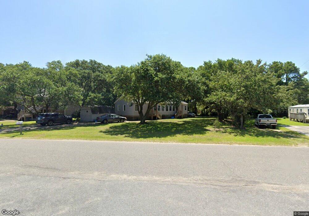
607 W Airstrip Rd Unit 7 Kill Devil Hills, NC 27948
Estimated Value: $393,000 - $482,000
About This Home
This home is located at 607 W Airstrip Rd Unit 7, Kill Devil Hills, NC 27948 and is currently estimated at $430,835, approximately $302 per square foot. 607 W Airstrip Rd Unit 7 is a home located in Dare County with nearby schools including Nags Head Elementary School, Manteo Middle School, and Manteo High School.
Ownership History
We collect this data history from publicly available records. To have your information removed, we recommend requesting removal directly through your county’s website.
Purchase Details
Home Financials for this Owner
Home Financials are based on the most recent Mortgage that was taken out on this home.Purchase Details
Purchase Details
Home Financials for this Owner
Home Financials are based on the most recent Mortgage that was taken out on this home.Purchase Details
Home Values in the Area
Average Home Value in this Area
Purchase History
We collect this data history from publicly available records. To have your information removed, we recommend requesting removal directly through your county’s website.
| Date | Buyer | Sale Price | Title Company |
|---|---|---|---|
| $330,000 | None Listed On Document | ||
| -- | None Available | ||
| -- | None Available | ||
| $150,000 | None Available |
Mortgage History
We collect this data history from publicly available records. To have your information removed, we recommend requesting removal directly through your county’s website.
| Date | Status | Borrower | Loan Amount |
|---|---|---|---|
| Open | $180,000 | ||
| Previous Owner | $85,000 |
Tax History
We collect this data history from publicly available records. To have your information removed, we recommend requesting removal directly through your county’s website.
| Year | Tax Paid | Tax Assessment Tax Assessment Total Assessment is a certain percentage of the fair market value that is determined by local assessors to be the total taxable value of land and additions on the property. | Land | Improvement |
|---|---|---|---|---|
| 2025 | $2,144 | $394,700 | $158,000 | $236,700 |
| 2024 | $1,633 | $216,200 | $80,000 | $136,200 |
| 2023 | $1,633 | $216,200 | $80,000 | $136,200 |
| 2022 | $1,558 | $216,200 | $80,000 | $136,200 |
| 2021 | $1,558 | $216,200 | $80,000 | $136,200 |
| 2020 | $1,558 | $216,200 | $80,000 | $136,200 |
| 2019 | $1,291 | $148,400 | $64,900 | $83,500 |
| 2018 | $1,263 | $148,400 | $64,900 | $83,500 |
| 2017 | $1,263 | $148,400 | $64,900 | $83,500 |
| 2016 | $1,203 | $148,400 | $64,900 | $83,500 |
| 2014 | $1,159 | $148,400 | $64,900 | $83,500 |
Map
- 0 W Martin St
- 1208 -2 Swan St Unit 2
- 1208 -1 Swan St Unit 1
- 1208 Swan St Unit 4
- 1208 Swan St Unit 2
- 1208 Swan St Unit 5
- 1208 Swan St Unit 1
- 1106 Cardinal St
- 1306 Theodore St Unit Lot 4
- 0 10th Ave Unit Lot 2R 130569
- 903 Holly St
- 302 W Clark St Unit Lot 6
- 1409 Theodore St Unit Lot Z9
- 205 W Atlantic St Unit Lot 3
- 1006 W Dean St Unit 13
- 0 W Boundary St Unit Lot 1-R 130568
- 222 Burns Dr Unit Lot 12
- 1209 Wrightsville Blvd Unit Lot 26
- 707 Fox St Unit Lot 5
- 200 E Martin St Unit 302
- 607 W Airstrip Rd
- 701B W Airstrip Rd
- 605 W Airstrip Rd
- 1103 7th Ave
- 603 W Airstrip Rd
- 1105 7th Ave
- 702 W Airstrip Rd
- 703 W Airstrip Rd
- 606 W Airstrip Rd
- 1102 7th Ave
- 1102 6th Ave Unit 3
- 1102 6th Ave
- 601 W Airstrip Rd
- 1104 6th Ave
- 604 W Airstrip Rd
- 704 W Airstrip Rd
- 602 W Airstrip Rd
- 1104 7th Ave
- 1004 7th Ave
- 706 W Airstrip Rd
Ask me questions while you tour the home.