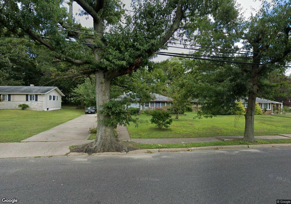
607 Warwick Rd N Lawnside, NJ 08045
Estimated Value: $200,671 - $302,000
Studio
--
Bath
1,012
Sq Ft
$237/Sq Ft
Est. Value
About This Home
This home is located at 607 Warwick Rd N, Lawnside, NJ 08045 and is currently estimated at $239,418, approximately $236 per square foot. 607 Warwick Rd N is a home with nearby schools including Lawnside Public Elementary School.
Ownership History
Date
Name
Owned For
Owner Type
Purchase Details
Closed on
Apr 29, 1999
Sold by
Woods Bernard K
Bought by
Hill Lucy M
Current Estimated Value
Home Financials for this Owner
Home Financials are based on the most recent Mortgage that was taken out on this home.
Original Mortgage
$59,969
Interest Rate
7.09%
Mortgage Type
FHA
Purchase Details
Closed on
May 19, 1998
Sold by
Estate Of Mary Ann Sheppard
Bought by
Martin Michael T
Create a Home Valuation Report for This Property
The Home Valuation Report is an in-depth analysis detailing your home's value as well as a comparison with similar homes in the area
Home Values in the Area
Average Home Value in this Area
Purchase History
We collect this data history from publicly available records. To have your information removed, we recommend requesting removal directly through your county’s website.
| Date | Buyer | Sale Price | Title Company |
|---|---|---|---|
| Hill Lucy M | $60,000 | -- | |
| Martin Michael T | $31,000 | -- |
Source: Public Records
Mortgage History
We collect this data history from publicly available records. To have your information removed, we recommend requesting removal directly through your county’s website.
| Date | Status | Borrower | Loan Amount |
|---|---|---|---|
| Previous Owner | Hill Lucy M | $59,969 |
Source: Public Records
Tax History
| Year | Tax Paid | Tax Assessment Tax Assessment Total Assessment is a certain percentage of the fair market value that is determined by local assessors to be the total taxable value of land and additions on the property. | Land | Improvement |
|---|---|---|---|---|
| 2025 | $4,896 | $100,400 | $39,100 | $61,300 |
| 2024 | $4,532 | $100,400 | $39,100 | $61,300 |
| 2023 | $4,532 | $100,400 | $39,100 | $61,300 |
| 2022 | $4,408 | $100,400 | $39,100 | $61,300 |
| 2021 | $4,440 | $100,400 | $39,100 | $61,300 |
| 2020 | $4,253 | $100,400 | $39,100 | $61,300 |
| 2019 | $4,184 | $100,400 | $39,100 | $61,300 |
| 2018 | $4,100 | $100,400 | $39,100 | $61,300 |
| 2017 | $4,032 | $100,400 | $39,100 | $61,300 |
| 2016 | $3,935 | $100,400 | $39,100 | $61,300 |
| 2015 | $3,923 | $100,400 | $39,100 | $61,300 |
| 2014 | $3,857 | $100,400 | $39,100 | $61,300 |
Source: Public Records
Map
Nearby Homes
- 111 Hemmings Way
- 401 Copley Rd
- 1237 Oakwood Rd
- 436 Carver Ave
- 425 Peltoma Rd
- 95 Lane of Acres
- 300 Hutchinson Ave
- 120 Glenwood Rd
- 361 Independence Blvd
- 320 Company St
- 109 Glenwood Rd
- 161 Gill Rd
- 1115 Greenmount Rd
- 139 Treaty Elm Ln
- 120 Highland Ave
- 122 W Emlen Ave
- 224 Highland Ave
- 23 Gloucester Ave
- 630 Pomona Ave
- 516 3rd Ave
- 603 Warwick Rd N
- 15 Hemmings Way
- 617 N Warwick Rd
- 1228 Mercer Dr
- 547 Warwick Rd N
- 1229 Wayne Rd
- 1224 Warwick Rd
- 10 Hemmings Way
- 14 Hemmings Way
- 1225 Wayne Rd
- 1220 Mercer Dr
- 1218 Warwick Rd
- 25 Hemmings Way
- 20 Hemmings Way
- 535 Warwick Rd N
- 1221 Wayne Rd
- 1216 Warwick Rd
- 1216 Mercer Dr
- 1211 Mercer Dr
- 104 Hemmings Way
Your Personal Tour Guide
Ask me questions while you tour the home.